

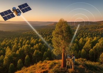
Satellites, Lasers and Radar Join Forces to Weigh Ethiopia’s Forests
By fusing spaceborne LiDAR, radar and optical satellite data with field plots, researchers have produced high-resolution canopy height and biomass ...
By fusing spaceborne LiDAR, radar and optical satellite data with field plots, researchers have produced high-resolution canopy height and biomass ...

Researchers used explainable machine learning to predict and interpret the compressive strength of sustainable SCM-based concrete, finding LightGBM the most ...
Researchers in Ecuador found that using wind speeds from upper atmospheric levels of the ERA5 reanalysis, rather than conventional near-ground ...
New research across the Alps shows that lakes and reservoirs dampen hourly flood peaks up to 70 percent, far more ...
A large-scale analysis of 455,530 infection patients shows that routine blood count parameters form distinct site-associated patterns across 29 infection ...
A Chinese research team used CT radiomics and machine learning to distinguish harmless ground-glass lung nodules from invasive adenocarcinoma with ...
Researchers in Cyprus used classical machine learning and GraphSAGE-based graph representation learning to predict missing transmission links in COVID-19 infection ...
An independent evaluation in PLOS Digital Health finds that deep learning models excel at breast cancer detection from medical images ...
A new review in Biochar argues that artificial intelligence, combined with mechanistic understanding and multi-source data, could enable precise, mechanism-guided ...
A new PLOS Water study finds that machine learning bias correction can transform flawed satellite rainfall and modelled river discharge ...

Embark on a thrilling journey of discovery with Scienmag.com—your ultimate source for cutting-edge breakthroughs. Immerse yourself in a world where curiosity knows no limits and tomorrow’s possibilities become today’s reality!