


Satellites Reveal Three Decades of Ecological Ups and Downs in Rapidly Urbanizing Nepal
A 30-year satellite analysis of Nepal's Rupandehi District shows ecological quality improved overall despite a tenfold expansion of built-up area, ...
A 30-year satellite analysis of Nepal's Rupandehi District shows ecological quality improved overall despite a tenfold expansion of built-up area, ...

A satellite and GPS tracking study of a Gir cattle migration corridor in central India finds that dry, hot forage, ...
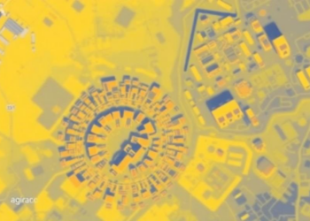
A machine learning framework in Sydney produced highly accurate 30-metre air temperature maps and proved transferable to data-sparse cities.

A new conditioning-controlled retrieval framework jointly derives broadband land surface temperature and emissivity from paired ground-based longwave irradiance measurements, achieving ...

Researchers have devised an ensemble-based scheme that jointly updates soil temperature and moisture, turning fleeting satellite land surface temperature observations ...

A thirty-year satellite and field study of Bangladesh's Sylhet Division shows settlement expansion of nearly 192 percent, a quarter of ...

A thirty-year satellite analysis of Islamabad and Rawalpindi shows that urban expansion has widened land surface temperature extremes and intensified ...

A first-of-its-kind intercomparison of six satellite and reanalysis datasets shows Earth's land and sea skin temperatures warming robustly since 2008, ...

A new diagnostic framework reveals that in Xinjiang's arid mountains, the strongest snow-temperature interactions can signal stressed, vulnerable snowpacks rather ...

A two-decade satellite and machine learning study shows Chennai's urban heat island intensity doubled as built-up area surged by more ...


Embark on a thrilling journey of discovery with Scienmag.com—your ultimate source for cutting-edge breakthroughs. Immerse yourself in a world where curiosity knows no limits and tomorrow’s possibilities become today’s reality!