


Satellite Thermal Data Reveal the Exact Park Size That Cools Cities Best
New ECOSTRESS satellite observations from Zhangzhou, China, reveal the seasonal dynamics of urban park cooling and identify an optimal park ...
New ECOSTRESS satellite observations from Zhangzhou, China, reveal the seasonal dynamics of urban park cooling and identify an optimal park ...

A high-resolution study in Salvador, Brazil, links Aedes aegypti breeding hotspots and chikungunya seropositivity to unpaved yards, garbage accumulation, and ...

A new global analysis shows that forest fragmentation raises land surface temperatures across most forest biomes, often mattering more for ...

A two-decade satellite analysis of 100 global cities shows that losing water bodies and expanding impervious surfaces amplify urban extreme ...

A new study of Coimbatore, India, combining Landsat satellite data with the InVEST Urban Cooling Model, finds summer land surface ...

A two-decade satellite analysis of Yalova, Türkiye, shows built-up land surging 138 percent and projects an elevenfold expansion of extreme ...
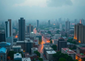
A 34-year satellite analysis shows Dhaka's built-up area nearly tripling as vegetation and water vanished, driving 70 percent of the ...
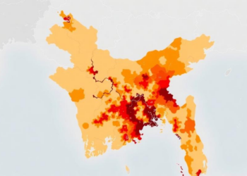
A new district-level study maps heatwave vulnerability across Bangladesh and finds that socioeconomic sensitivity and weak adaptive capacity, not temperature ...
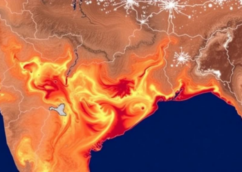
A 30-year Landsat analysis shows Guwahati's mean land surface temperature rose from 28.27 to 32.07 degrees Celsius as urban expansion ...
A 34-year satellite analysis of 55 US cities shows that heat disparities between low- and high-income neighborhoods have generally narrowed, ...


Embark on a thrilling journey of discovery with Scienmag.com—your ultimate source for cutting-edge breakthroughs. Immerse yourself in a world where curiosity knows no limits and tomorrow’s possibilities become today’s reality!