

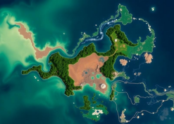
Sulawesi Is Losing Its Water-Regulating Landscapes, Satellite Record Shows
A 32-year spatial analysis shows that high water regulation capacity on Sulawesi Island fell from 59.5 percent of the land ...
A 32-year spatial analysis shows that high water regulation capacity on Sulawesi Island fell from 59.5 percent of the land ...

A new study combines 111 years of land-cover records with drone-based LiDAR to show that Japan's Kumihama Dune has lost ...
Researchers have built a global dataset of realistic surface albedo values for 22 land cover types, revealing that simplified methods ...
A seventeen-year satellite analysis of four restoration sites in southern Mozambique shows modest mangrove gains in Limpopo, Belavista and Tembe ...
A 25-year satellite analysis of the China–Russia Xingkai Lake Basin reveals a 44.9 percent wetland loss, a 16.5 percent decline ...
A 24-year satellite analysis of the Beijing–Tianjin–Hebei region shows urban blue spaces shrinking and fragmenting, with population and vegetation factors ...
A new satellite-based study fusing six vegetation indicators finds that roughly 30 percent of the Horn of Africa's grasslands are ...
A new study finds Ghana's Ada-Songhor wetland lost 47 percent of its vegetation over three decades while state-community collaborations offer ...
A new study finds that the conservation-managed zone of Nigeria's Ise Forest Reserve supports taller, more diverse forest than disturbed ...

Embark on a thrilling journey of discovery with Scienmag.com—your ultimate source for cutting-edge breakthroughs. Immerse yourself in a world where curiosity knows no limits and tomorrow’s possibilities become today’s reality!