

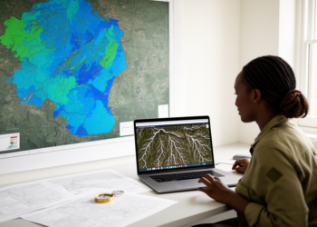
GIS and Google Earth Engine map Zimbabwe’s groundwater potential nationwide
A GIS and Google Earth Engine framework classified Zimbabwe's groundwater potential nationwide and tested it against nearly 10,000 borehole records.
A GIS and Google Earth Engine framework classified Zimbabwe's groundwater potential nationwide and tested it against nearly 10,000 borehole records.
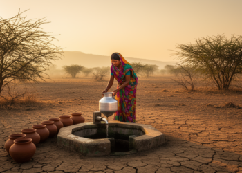
A household survey of nearly 1,600 households in Bundelkhand, India, found that multidimensional water poverty rose from 48.4 percent in ...
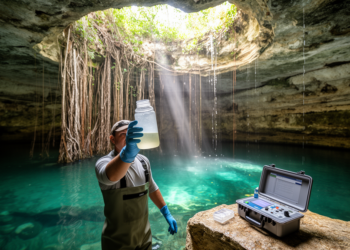
Every cenote sampled in the Mexican resort city of Cancun carries faecal coliform bacteria, and concentrations climb dramatically when the ...

A 20-year study of northeastern Iran used satellite-derived vegetation, salinity, and groundwater indicators to identify a 2015 breakpoint and early ...

An editorial in Frontiers in Environmental Science argues that headwater lakes and catchments, which make up most of the river ...
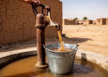
A first comprehensive assessment of Dalbandin's groundwater found all fifty samples unsafe for drinking, with lead at sixteen times the ...

An integrated hydrochemical and geospatial study of 58 pre-monsoon groundwater samples from Warangal District, Telangana, found most waters poor to ...
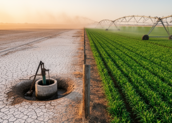
A UNU-INWEH policy brief and a PNAS analysis show that groundwater depletion and irrigation concentrate near borders in shared aquifers, ...
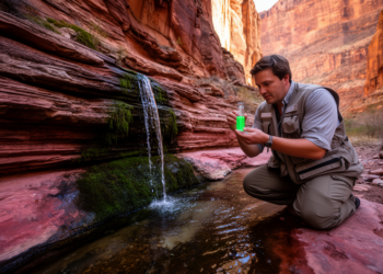
A multi-year USGS investigation combined dye tracing, pharmaceuticals, artificial sweeteners and PFAS to show that treated wastewater released along the ...
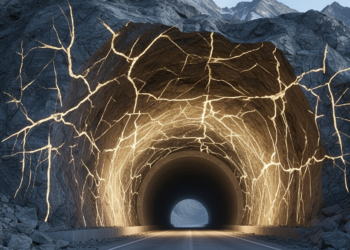
A finite element study of a Himalayan tunnel portal slope shows that models explicitly representing foliation joints predict far lower ...


Embark on a thrilling journey of discovery with Scienmag.com—your ultimate source for cutting-edge breakthroughs. Immerse yourself in a world where curiosity knows no limits and tomorrow’s possibilities become today’s reality!