

One Dial at a Time: New Method Pinpoints What Spoils Ionospheric Maps Over China
A single-parameter directional perturbation study of more than 250 GNSS stations across China has quantified how observation noise, elevation mask ...
A single-parameter directional perturbation study of more than 250 GNSS stations across China has quantified how observation noise, elevation mask ...

A new comment paper argues that a critique declaring satellite radar unreliable for measuring slow coastal subsidence was undermined by ...

A five-season study shows that GNSS distance data from ordinary baling machinery can predict how many bales remain in a ...
Researchers have developed a spectral analysis method that transforms L-band SAR amplitude streak artifacts into high-resolution two-dimensional maps of equatorial ...
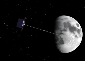
A new study shows that adding four satellites in elliptical lunar frozen orbits to China's BeiDou-3 constellation eliminates the rotational ...
A bibliometric analysis of 2,854 publications from 1990 to 2024 traces earthquake monitoring's evolution through three technological eras and identifies ...
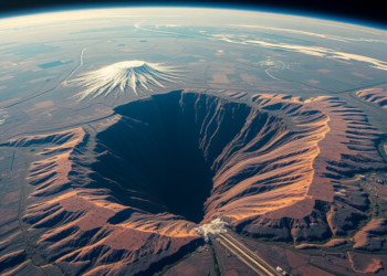
A decade of Sentinel-1 radar and GPS data reveals that parts of Kenya's Nakuru County are sinking at nearly 29 ...
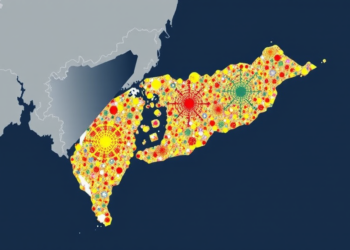
A new data-fusion study over Taiwan shows that gridded ionospheric TEC provides modest complementary information for retrospective earthquake maximum-magnitude estimation, ...

A million cubic meters of magma briefly bulged the ground at Tanzania's Ol Doinyo Lengai volcano, and Virginia Tech's ground-based ...

A new study compares GNSS-based and GACOS-based tropospheric corrections for InSAR measurements of the 2020 Elazığ–Sivrice earthquake, finding that neither ...


Embark on a thrilling journey of discovery with Scienmag.com—your ultimate source for cutting-edge breakthroughs. Immerse yourself in a world where curiosity knows no limits and tomorrow’s possibilities become today’s reality!