

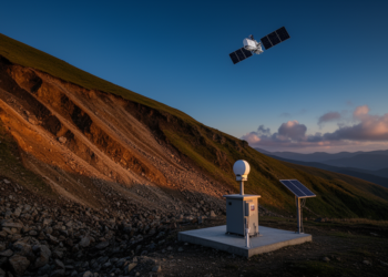
Satellites, Sensors and AI Join Forces to Watch Landslides Move in Real Time
A new review details how fusing GNSS with InSAR, accelerometers, sub-surface sensors and physics-informed machine learning is reshaping landslide displacement ...
A new review details how fusing GNSS with InSAR, accelerometers, sub-surface sensors and physics-informed machine learning is reshaping landslide displacement ...
Eight months of NinjaSat CubeSat GNSS telemetry, converted into a conserved orbital-energy decay metric, reveal a 1-to-3-day thermospheric drag response ...
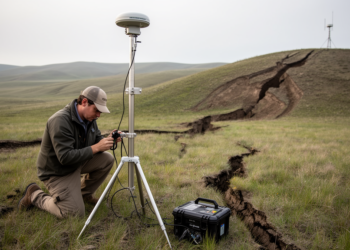
Continuous GNSS measurements show the 2011 Mw7.4 and 2026 Mw7.5 earthquakes off northern Japan ruptured nearly the same fault patch, ...
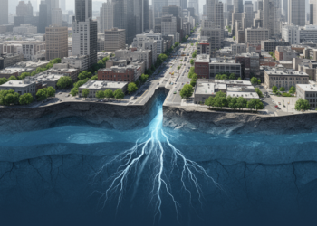
Satellite geodesy and groundwater records suggest that crustal faults help concentrate aquifer recovery into sharply bounded zones of urban land ...
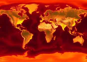
A new global dataset quantifies temperature-driven ground motion beneath approximately 14,000 GNSS stations from 2000 to 2023, offering millimetre-level corrections ...
Using more than 1,200 European GNSS receivers, researchers have tracked circular ripples in the ionosphere launched by five different types ...
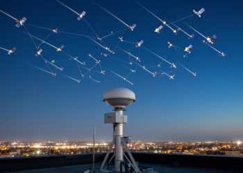
A new study reveals that augmenting multi-GNSS PPP time transfer with simulated low Earth orbit satellite observations produces dramatically different ...
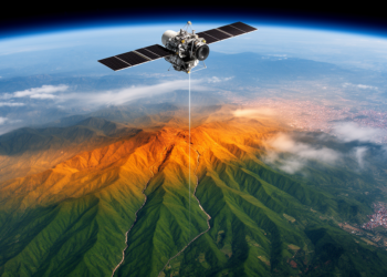
A new study combining GRACE satellite gravity data, GNSS, InSAR, and seismic records finds that nearly all seismic energy along ...
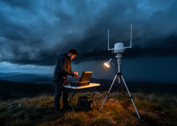
A new multi-GNSS framework adds tropospheric gradients, regional modeling, and a joint moisture–saturation criterion to sharpen satellite-based water vapor retrieval ...

A new comparison of two satellite radar datasets along the central U.S. Gulf Coast reveals they barely agree outside dense ...


Embark on a thrilling journey of discovery with Scienmag.com—your ultimate source for cutting-edge breakthroughs. Immerse yourself in a world where curiosity knows no limits and tomorrow’s possibilities become today’s reality!