Two large earthquakes struck nearly the same patch of the plate interface off northern Japan fifteen years apart, and a dense network of ground-based sensors caught both in the act.
The finding matters because observational examples of recurrent large earthquakes, at magnitude 7 or greater, are rare. Recurrence intervals for such events often span decades or centuries, longer than most instrumental records. Repeating earthquakes with identical seismic waveforms are widely taken as evidence of a persistent asperity rupturing again and again, but near-field geodetic observations, which constrain the fault source region without the complications of rupture propagation, had provided little direct confirmation. The sustained operation of Japan’s continuous GNSS network since 1994 has now made such a comparison possible over three decades of large interplate earthquakes.
The 2026 earthquake is the latest step in a sequence that began in November 2025 in the source area of the 1968 Mw8.3 Tokachi-oki earthquake, the largest historical event in the region between 39.5°N and 41.5°N. An Mj5.3 earthquake struck on November 4, 2025, followed by a nearby Mj6.9 (Mw6.7) event on November 9. One month later, an Mj7.5 (Mw7.6) earthquake occurred roughly 200 kilometers north-northwest of those events. On April 20, 2026, an Mj7.7 (Mw7.5) earthquake occurred 50 kilometers north of the November events, filling part of the gap between the two active zones. All of these earthquakes showed low-angle thrust focal mechanisms and ruptured the megathrust, according to the Japan Meteorological Agency unified earthquake catalog. The Japan Meteorological Agency issued an Off the Coast of Hokkaido and Sanriku Subsequent Earthquake Advisory, which informs the public that the probability of a subsequent large earthquake is relatively higher than normal based on global earthquake statistics.
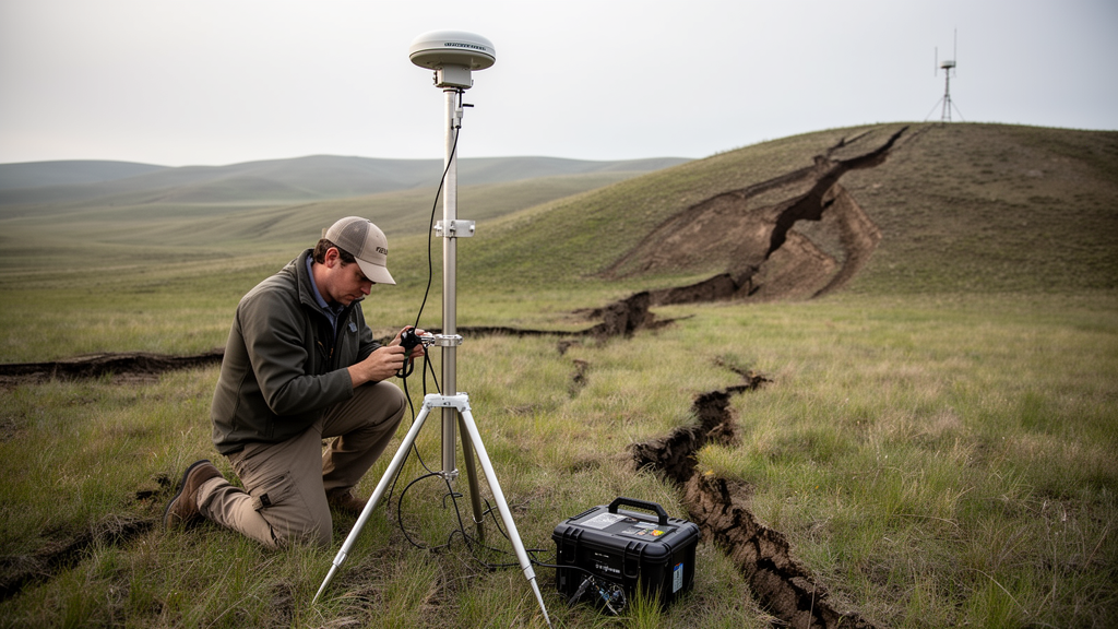
To compare the events, the study used daily coordinates of the GEONET GNSS stations computed with precise point positioning and ambiguity resolution. For the 2025 and 2026 earthquakes, coseismic displacement was calculated as the difference between the daily coordinate of the day after each earthquake and the average of the preceding ten days, a choice made to limit contamination from the postseismic deformation that followed both events. Daily coordinates carry standard deviations of about 1 to 2 millimeters horizontally and about 4 millimeters vertically, far smaller than the observed displacements, which reached roughly 10 centimeters horizontally. Displacements for the 1994 and 2011 earthquakes were taken from previous studies, with the 2011 value derived from 30-second kinematic GNSS processing to isolate the Mw7.4 event that struck 22 minutes after the Mw9.0 Tohoku-oki mainshock.
The analysis assumed a simple rectangular fault on the plate interface and estimated the fault’s latitude, longitude, length, width, rake, and slip through nonlinear inversion, with depth, strike, and dip constrained to follow the subduction interface. Because all stations lie far to the west of the source faults, the data have limited power to resolve individual fault parameters, and there is a significant trade-off among length, width, and slip; the GNSS data can constrain the seismic moment but cannot separate those quantities. The estimated moment magnitudes, using a rigidity of 40 GPa, are 7.5 for the 2025 event, 7.6 for the 1994 event, and 7.5 for the 2026 event. The estimated faults for the 2025, 1994, and 2026 earthquakes align from north-northwest to south-southeast, and the faults for the 2011 and 2026 earthquakes mostly overlap, with fault centers about 12 kilometers apart even though their epicenters were roughly 33 kilometers apart, suggesting recurrent rupture of the same source region with different rupture initiation points.
Sensitivity tests strengthen that conclusion. When the 2026 fault model is shifted by 0.2 degrees in any direction on the plate interface, synthetic displacements at coastal stations differ from the original by a systematic pattern of up to about 20 millimeters. No such systematic pattern appears in the observed difference between the 2011 and 2026 displacement fields, aside from some westward displacement around 39°N and 141°E attributed to early postseismic deformation of the 2011 Tohoku-oki earthquake. The study therefore concludes that the two source regions mostly overlap and can be regarded as a recurrent rupture of the same asperity.
Placing the new fault models against the slip distribution of the 1968 Mw8.3 Tokachi-oki earthquake shows that the source regions of the 1994, 2025, and 2026 earthquakes together cover the 1968 rupture area. Earlier work had identified the northern, central, and southern asperities of the 1968 earthquake, called Asperities A, B, and C, and the new models assign the 2025, 1994, and 2026 earthquakes to those asperities respectively. The results support the hypothesis that adjacent asperities can rupture either individually or simultaneously. Notably, the seismic moment of the 1968 event, 3.5 × 10²¹ newton-meters, is much larger than the combined moment of the three recent earthquakes, 6.8 × 10²⁰ newton-meters, implying that synchronized rupture of multiple asperities may release substantially more moment than a simple sum of independent ruptures would suggest.
The recurrence behavior differs strikingly among the three asperities. The southern asperity ruptured in 2011 and 2026, and previous studies indicate it also ruptured in 1960, 1968, and 1989, giving five ruptures in 66 years with intervals of 8 to 21 years. If each event slipped about 1 meter, as estimated for the 2011 and 2026 events, the total slip roughly matches the relative plate motion over that period, suggesting the asperity was strongly coupled through much of the interseismic period. At the northern asperity, by contrast, the roughly 1 meter of slip in 2025 is far less than the approximately 4.6 meters of plate motion accumulated over 57 years, pointing to weaker average coupling. A creeping rate of about 3 to 6 centimeters per year around the northern asperity during 1993 to 2011, inferred from small repeating earthquakes, could account for that deficit, and a detected Mw6.7 slow slip event after a 2001 Mw6.4 earthquake likely contributed only modestly, since no other slow slip events have been detected there in the past 25 years.
The central asperity, ruptured by the 1994 Sanriku-haruka-oki earthquake and previously in 1931 and 1968, has now gone more than 31 years without rupture as of 2026. The study notes that the estimated fault sizes depend strongly on initial parameters because of sparse GNSS coverage in 1994, so a gap between the 1994, 2025, and 2026 source areas cannot be ruled out. A roughly 70-kilometer-wide seismic gap remains along the trench, and because no large earthquake has occurred there since 1994, a recurrence of an M~7.5 event may be expected. The ruptures of the adjacent northern and southern asperities in 2025 and 2026 are expected to increase shear stress on the central asperity through tectonic and coseismic loading, suggesting an elevated likelihood of its rupture.
The 1968 source region is also framed by zones of aseismic slip. Slow slip events with very low frequency earthquakes occur to the northeast toward the Kurile Trench, where afterslip of the 2003 Tokachi-oki earthquake was also estimated; to the south, afterslip of the 2011 Tohoku-oki and 1992 Sanriku-oki ultra-slow earthquakes occupies deeper and shallower parts of the interface, and frequent tectonic tremors were observed in a shallow part of the plate interface to the east. These aseismic regions likely mark segmentation boundaries of great megathrust earthquakes along the Japan and Kurile trenches. The study’s overall conclusion is that asperities along subduction megathrusts can rupture repeatedly over decadal timescales, a pattern now documented directly by ground-based geodesy rather than inferred from seismic waveforms alone.
Subject of Research: Repeated rupture of an interplate asperity in the 1968 Tokachi-oki earthquake source region revealed by GNSS coseismic displacements
Article Title: Near-field GNSS evidence for repeated rupture of an Mw7-class interplate source region within the 1968 Mw8.3 Tokachi-oki earthquake rupture area
Article References: Nishimura, T. (2026). Near-field GNSS evidence for repeated rupture of an Mw7-class interplate source region within the 1968 Mw8.3 Tokachi-oki earthquake rupture area. Earth, Planets and Space, 78(1), Article 237. https://doi.org/10.1186/s40623-026-02573-x
Image Credits: AI Generated
DOI: 10.1186/s40623-026-02573-x
Keywords: GNSS, Japan Trench, Tokachi-oki earthquake, asperity, megathrust, coseismic displacement, fault model, earthquake recurrence, plate interface, slow slip event, Sanriku-oki, subduction zone
Cite Scienmag News
Violet Maxwell. (October 28, 2026). GNSS Records Reveal Same Fault Patch Ruptured in 2011 and Again in 2026. Scienmag. https://scienmag.com/gnss-records-reveal-same-fault-patch-ruptured-in-2011-and-again-in-2026/
Violet Maxwell. "GNSS Records Reveal Same Fault Patch Ruptured in 2011 and Again in 2026." Scienmag, 28 October 2026, https://scienmag.com/gnss-records-reveal-same-fault-patch-ruptured-in-2011-and-again-in-2026/. Accessed 29 October 2026.
Violet Maxwell. "GNSS Records Reveal Same Fault Patch Ruptured in 2011 and Again in 2026." Scienmag. October 28, 2026. https://scienmag.com/gnss-records-reveal-same-fault-patch-ruptured-in-2011-and-again-in-2026/