

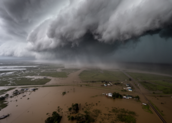
Hidden Flood Risk: How Realistic Storm Patterns Nearly Doubled Damage Estimates in Louisiana
A modeling study of the Vermilion River Basin found that spatially variable storm scenarios exposed 11,518 buildings and roughly USD ...
A modeling study of the Vermilion River Basin found that spatially variable storm scenarios exposed 11,518 buildings and roughly USD ...
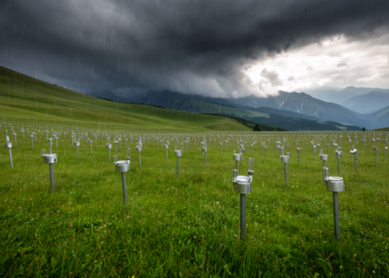
Using Austria's exceptionally dense WegenerNet rain gauge network, researchers have derived areal reduction factors for extreme rainfall from five minutes ...
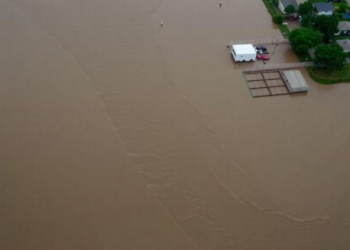
A systematic review of 190 studies finds that integrated geospatial, meteorological, hydrological and AI-based approaches are transforming flood risk assessment, ...
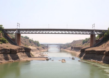
A new modelling study projects that climate-driven increases in flow energy could deepen pier scour at India's Kolaghat Bridge by ...

Australian researchers have developed a two-parameter method that dramatically reduces uncertainty in identifying rainfall-runoff events and reveals a continent-wide climate ...
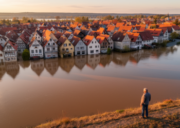
A new benchmark study of the flood-hit Ahrweiler district shows that different exposure modelling workflows can produce building asset value ...
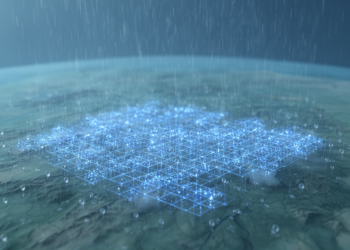
An open-source toolkit called Virtual Rain now lets hydrologists generate realistic synthetic rainfall and convert ordinary daily records into minute-scale ...
Flood models can predict where water will flow, but researchers argue that only governance centred on social vulnerability can predict ...
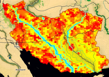
A new study shows that replacing conventional river networks with satellite-derived data significantly improves the accuracy of AHP-based flood hazard ...
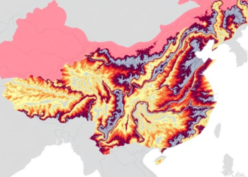
A new integrated risk-resilience framework reveals that more than a third of China's Yangtze River Delta faces high flood danger ...


Embark on a thrilling journey of discovery with Scienmag.com—your ultimate source for cutting-edge breakthroughs. Immerse yourself in a world where curiosity knows no limits and tomorrow’s possibilities become today’s reality!