


HEC-RAS and ArcGIS model a flood resilience index for urban planning
A study combining HEC-RAS flood modelling, ArcGIS spatial analysis and CRITIC and VIKOR statistics builds a Flood Resilience Index that ...
A study combining HEC-RAS flood modelling, ArcGIS spatial analysis and CRITIC and VIKOR statistics builds a Flood Resilience Index that ...
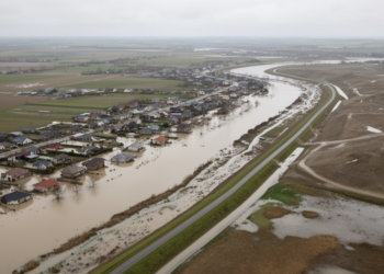
An AI-assisted systematic review of 185 studies found rapid growth and nine themes in nature-based flood management, alongside major gaps ...

A new policy analysis of 314 flood-related strategies in Samarinda reveals that the Indonesian city's flood governance is strong on ...

A comparative study of Hong Kong and Zurich shows that urban form simultaneously shapes heat mitigation, flood regulation, biodiversity, health, ...

A two-decade satellite and machine learning study shows Chennai's urban heat island intensity doubled as built-up area surged by more ...

A machine learning study of 25 lakes in Da Nang, Vietnam, quantifies urban lake cooling with SHAP interpretability, finding the ...
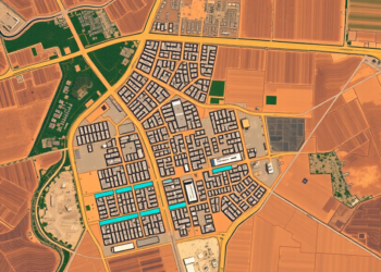
A twenty-year Landsat analysis of Adama, Ethiopia, shows built-up land surging 43 percent while wetlands vanished and rising minimum surface ...


Embark on a thrilling journey of discovery with Scienmag.com—your ultimate source for cutting-edge breakthroughs. Immerse yourself in a world where curiosity knows no limits and tomorrow’s possibilities become today’s reality!