


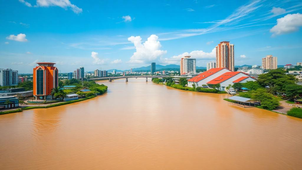
Samarinda, the riverside capital of East Kalimantan Province, has spent years battling the floods that sweep through its neighborhoods along the Mahakam River. Now the city is entering a new era: Indonesia’s futuristic new capital, Nusantara, is rising just next door, and the three cities of IKN, Samarinda, and Balikpapan are being woven into a single, fast-integrating urban region. A new study warns that Samarinda’s flood policies, while substantial on paper, are lopsided in ways that could leave the emerging capital region dangerously exposed.
Researchers from Institut Teknologi Kalimantan and Keio University applied the Social-Ecological-Technological Systems (SETS) framework, which treats cities as coupled systems where resilience emerges from the interplay of institutions, ecosystems, and engineered infrastructure. Rather than asking whether Samarinda has enough flood policies, the team asked what kinds of policies dominate the city’s portfolio and which components are being neglected. The answer, published in Frontiers in Sustainable Cities, reveals a governance profile strong on paper and pipes but thin on collaboration, nature-based solutions, and long-term upkeep.
The team conducted a directed content analysis of 11 policy and planning documents drawn from more than 980 legal records in Samarinda’s official documentation network. From these documents they extracted 314 distinct flood-related strategies, each coded into one of three SETS domains and twelve finer categories. Social strategies, covering everything from emergency response to regulation and financing, accounted for 131 entries, or 41.7 percent of the corpus. Technological strategies, including drainage systems and early-warning technology, made up 105 entries at 33.4 percent. Ecological strategies, encompassing conservation, green infrastructure, and hydrological functions, trailed at 78 entries, or 24.8 percent.
That ecological deficit is striking. In ten of the eleven documents analyzed, ecological strategies were the least represented domain. Only the Samarinda City Spatial Plan 2023-2042 achieved a relatively balanced distribution across all three domains, with 17 social, 20 ecological, and 19 technological strategies. This suggests that comprehensive spatial plans may offer a stronger institutional arena for integrating social, ecological, and technological concerns than sector-specific or operational documents, though the researchers caution that balanced representation on paper does not guarantee coordinated implementation in practice.
Using the dataset mean of 26.2 strategies per code as an internal benchmark, the analysis identified five categories that were relatively well represented: emergency planning and preparedness (S1), law and regulation (S2), conservation and restoration (E1), engineered infrastructure (T2), and early-warning and communication technology (T4). Seven categories fell below the mean, and the pattern is telling. Participation and collaboration (S3), knowledge transfer and risk communication (S4), and economic mechanisms (S5) were all underrepresented. So were green infrastructure (E2), ecosystem services and hydrological functions (E3), design codes and standards (T1), and infrastructure operation and maintenance (T3).
The researchers emphasize that a numerically dominant social domain does not necessarily indicate participatory or community-centered governance. Much of the social content in Samarinda’s policy corpus is administrative and regulatory rather than co-productive. The city has substantial legal frameworks and emergency-management provisions, but fewer explicit mechanisms for sustained stakeholder collaboration, shared risk information, or joint financing across jurisdictions. This distinction matters enormously in a capital region where flood risk does not respect municipal boundaries and where the Mahakam River and its tributary catchments extend far beyond Samarinda’s administrative authority.
The ecological gaps are equally consequential. Conservation and protection provisions are relatively visible in the policy corpus, but green infrastructure and explicit hydrological functions receive far less attention. In a rapidly urbanizing capital region, isolated parks or green-open-space targets are insufficient. The researchers argue that policies should protect and reconnect headwaters, riparian corridors, wetlands, flood-storage areas, urban forests, and neighborhood-scale infiltration spaces as a regional blue-green network. Hydrological functions should be expressed through measurable planning requirements, including retention capacity, runoff limits, riparian continuity, and protection of natural drainage pathways. Such measures would align flood mitigation with biodiversity, heat reduction, public space, and water-quality objectives.
The technological domain reveals a lifecycle problem. Engineered infrastructure and early-warning technology receive strong policy attention, but design standards and operation and maintenance are comparatively neglected. Without compatible standards and clearly defined maintenance responsibilities, infrastructure developed across different jurisdictions may follow inconsistent resilience criteria and experience declining performance over time. The researchers propose asset inventories, inspection schedules, sediment-removal targets, maintenance responsibilities, and publicly reported service indicators to ensure that drainage, pumps, retention facilities, sensors, and communication systems remain functional after construction.
The study does not claim that Indonesia’s new capital directly causes flooding in Samarinda, nor does it model future hydrological effects. Rather, it uses the IKN and Tri-City context as a governance lens to assess whether Samarinda’s documented policy profile is adequate for a rapidly integrating urban region. The findings suggest that the capabilities most needed when flood risk crosses administrative boundaries, including stakeholder collaboration, shared risk communication, joint financing, connected blue-green infrastructure, protection of hydrological functions, common technical standards, and sustained maintenance, are precisely the areas where current Samarinda policies provide limited explicit support.
The researchers propose a five-element governance model derived directly from their findings: a regional coordination platform linking spatial planning, watershed management, infrastructure investment, and disaster preparedness across Samarinda, IKN, Balikpapan, and surrounding regencies; a shared flood-data architecture with interoperable early-warning protocols; a regional blue-green infrastructure network that protects hydrological functions across administrative boundaries; common performance standards, lifecycle budgets, and transparent operation-and-maintenance responsibilities for infrastructure programs; and meaningful involvement of communities and vulnerable groups in risk assessment, design review, monitoring, and evaluation. The balanced profile of Samarinda’s Spatial Plan 2023-2042 provides an institutional entry point for this transition, but the researchers stress that spatial-planning provisions must be translated into coordinated programs, budgets, technical requirements, implementation responsibilities, and monitoring mechanisms. The principal policy implication, they conclude, is not simply to add more strategies but to strengthen the couplings among social institutions, ecological functions, and technological systems through a formal capital-region governance framework.
Subject of Research: SETS-based policy analysis of urban flood governance in Samarinda, Indonesia, within the emerging IKN capital region
Article Title: Governing urban floods in an emerging capital region: a social-ecological-technological systems policy analysis of Samarinda City, Indonesia
Article References: Ilham, S. S., Ariyaningsih, Adhar, K., Syafitri, E. D., & Pamungkas, S. (2026). Governing urban floods in an emerging capital region: a social-ecological-technological systems policy analysis of Samarinda City, Indonesia. Frontiers in Sustainable Cities, 8, Article 1933366. https://doi.org/10.3389/frsc.2026.1933366
Image Credits: AI Generated
DOI: 10.3389/frsc.2026.1933366
Keywords: urban flooding, Samarinda, IKN Nusantara, SETS framework, flood governance, blue-green infrastructure, East Kalimantan, spatial planning, content analysis, capital region, Indonesia, resilience
Cite Scienmag News
Violet Maxwell. (October 16, 2026). Riverside Indonesian City Faces Flood Governance Gaps as New Capital Rises Nearby. Scienmag. https://scienmag.com/riverside-indonesian-city-faces-flood-governance-gaps-as-new-capital-rises-nearby/
Violet Maxwell. "Riverside Indonesian City Faces Flood Governance Gaps as New Capital Rises Nearby." Scienmag, 16 October 2026, https://scienmag.com/riverside-indonesian-city-faces-flood-governance-gaps-as-new-capital-rises-nearby/. Accessed 16 October 2026.
Violet Maxwell. "Riverside Indonesian City Faces Flood Governance Gaps as New Capital Rises Nearby." Scienmag. October 16, 2026. https://scienmag.com/riverside-indonesian-city-faces-flood-governance-gaps-as-new-capital-rises-nearby/


