


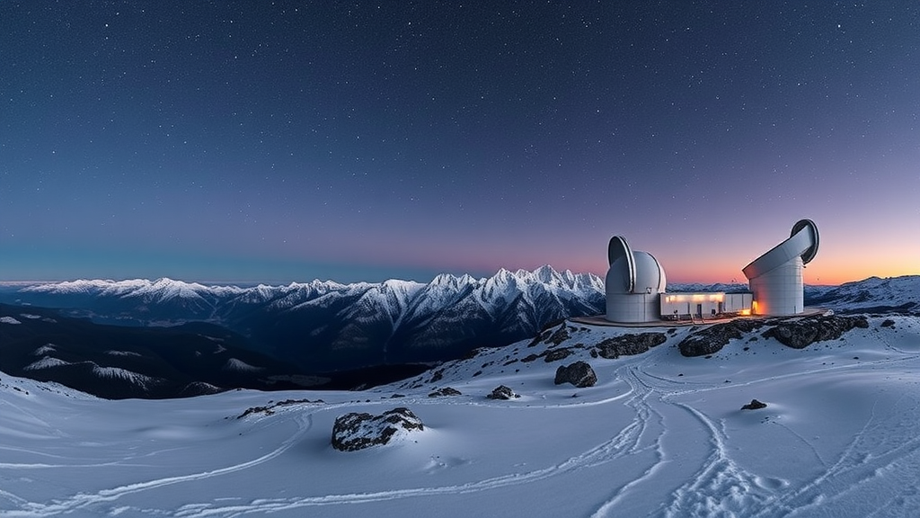
High on the Erzurum plateau in eastern Türkiye, the Eastern Anatolia Observatory, known as DAG, was built to peer at some of the darkest skies in the country. More than a thousand kilometres to the southwest, on a coastal mountain in Antalya, the TÜBİTAK National Observatory, TUG, enjoys a very different climate and landscape. Both facilities represent the backbone of Turkish ground-based astronomy, and both depend on a resource that is quietly disappearing worldwide: a naturally dark night sky. A new study published in Experimental Astronomy has now delivered the most detailed picture yet of how artificial light is encroaching on these two premier sites, combining years of ground measurements with satellite data and a carefully engineered machine learning framework to map night sky brightness across rugged, contrasting terrain.
The research, led by Kazım Kaba of Atatürk University together with colleagues at Manisa Celal Bayar University, DAG, and Çukurova University, addresses a stubborn problem in light pollution science. Satellite instruments such as the Suomi National Polar-orbiting Partnership’s Visible Infrared Imaging Radiometer Suite, or VIIRS, provide high-resolution measurements of upward radiance from cities and towns, but they do not directly measure the glow that scattered light produces in the sky above an observatory. Ground-based sky quality meters, meanwhile, record actual sky brightness at specific points, but only at those points. Bridging the gap between these two views, one broad but indirect, the other direct but sparse, has long been a methodological challenge, particularly in mountainous regions where light propagation is shaped by complex topography.
To close that gap, the team built and rigorously compared several mapping approaches. Traditional geostatistical techniques, including Ordinary and Universal Kriging, were tested alongside modern machine learning regressors such as support vector regression and a hybrid framework that couples random forest regression with Kriging of its residuals, often called regression Kriging. The inputs combined VIIRS nighttime radiance with extensive in-situ sky quality meter measurements collected around the observatories. The comparison produced a cautionary tale about blindly trusting statistical scores. Ordinary and Universal Kriging, the workhorses of classical spatial interpolation, suffered from smoothing effects and overfitting when confronted with the complex terrain surrounding the sites, washing out real spatial structure.
Support vector regression told a different but equally instructive story. The algorithm achieved impressively high statistical validation scores, yet when asked to extrapolate into data-sparse regions it produced physically implausible predictions, in some cases implying sky brightness values that violate natural limits on how bright an unpolluted sky can actually be. For a field where the difference between a pristine site and a degraded one is measured in magnitudes per square arcsecond, such artifacts are not mere curiosities; they could mislead decisions about where to site future telescopes or how to protect existing ones. The lesson, the authors argue, is that physical consistency must be treated as a hard constraint, not an afterthought.
The random forest regression Kriging model emerged as the clear winner. It achieved robust validation accuracy, with coefficients of determination of 0.74 and 0.80 for the two study regions, while remaining strictly consistent with the natural brightness limits of the night sky. By letting the random forest capture nonlinear relationships between satellite-observed radiance, terrain, and measured sky glow, and then using Kriging to model the spatially structured residual, the hybrid approach preserved fine-grained detail that pure geostatistics smoothed away and avoided the runaway extrapolations of pure machine learning. The resulting maps offer observatory managers a realistic, high-resolution view of where light pollution originates and how it spreads across the landscape.
Beyond the methodology, the temporal analysis uncovered two strikingly different pollution regimes. Around the high-altitude Erzurum plateau, home to DAG, sky brightness follows a pronounced seasonal cycle driven by what researchers call snowglow. When snow blankets the ground, it acts as a vast white reflector, bouncing upward the light emitted by nearby settlements and amplifying human-induced skyglow by more than 1.5 times compared with snow-free conditions. The effect, which has been documented in suburban Europe, is particularly consequential for a mountain observatory, because the very winters that bring stable observing conditions also bring the reflective snowpack that magnifies whatever light leaks from the region’s towns and roads.
The Antalya coast surrounding TUG tells a darker story in a different sense. There, sky brightness has deteriorated monotonically, independent of season, in step with rapid tourism-oriented urbanization along the Mediterranean shoreline. Hotels, resorts, and expanding infrastructure emit light year-round, and the coastal topography channels that glow toward the observatory site. Unlike the seasonal snowglow signal at Erzurum, which at least offers a predictable annual rhythm, the Antalya trend points steadily in one direction, raising concerns about the long-term optical viability of one of Türkiye’s historic observing hubs if lighting practices remain unchanged.
The findings arrive amid a broader global reckoning with light pollution. Previous studies, including the world atlases of artificial night sky brightness and surveys of light pollution indicators at all major astronomical observatories, have shown that ground-based astronomy faces a growing threat from expanding artificial lighting. What the Turkish study adds is a transferable toolkit: a validated, physically constrained machine learning pipeline that fuses free satellite data with inexpensive ground sensors to produce actionable brightness maps. The VIIRS data used in the work are publicly distributed through NASA’s LAADS DAAC service, and the authors note that their sky quality meter measurements can be requested for further research, lowering the barrier for other observatory communities to replicate the approach.
The work was supported by the Scientific and Technological Research Council of Türkiye, TÜBİTAK, through its 3501 Career Development Program under project number 124F297, and the authors declare no competing interests. For DAG, which is moving toward first light with its large optical telescope, and for TUG, which has served Turkish astronomy for decades, the message of the study is double-edged. The new maps provide exactly the quantitative evidence needed to argue for dark-sky protections, shielding ordinances, and lighting curfews in surrounding communities. But they also confirm that the pressures of snow-reflected glow in the east and relentless coastal development in the west are real, measurable, and growing. Whether Türkiye’s flagship observatories keep their dark skies may now depend less on the mountains they sit on than on how the valleys below choose to light the night.
Subject of Research: Machine learning-based mapping of night sky brightness and light pollution dynamics at Türkiye's major astronomical observatories
Article Title: Long-term dynamics and machine learning-based mapping of night sky brightness: snowglow, urbanization, and topography effects at major astronomical observatories in Türkiye
Article References: Kaba, K., Aydın, S., Türkmen, R. B., Polat, F., Aksoy, F., Nasıroğlu, İ., Yeşilyaprak, C., & Kandırmaz, H. M. (2026). Long-term dynamics and machine learning-based mapping of night sky brightness: snowglow, urbanization, and topography effects at major astronomical observatories in Türkiye. Experimental Astronomy, 62(2), Article 16. https://doi.org/10.1007/s10686-026-10076-6
Image Credits: AI Generated
DOI: 10.1007/s10686-026-10076-6
Keywords: light pollution, night sky brightness, snowglow, machine learning, regression Kriging, Suomi NPP VIIRS, sky quality meter, DAG observatory, TÜBİTAK National Observatory, urbanization, topography, Türkiye
Cite Scienmag News
Teresa Odom. (September 12, 2026). Snowglow and Sprawl: Machine Learning Maps the Fading Dark Skies Over Türkiye’s Great Observatories. Scienmag. https://scienmag.com/snowglow-and-sprawl-machine-learning-maps-the-fading-dark-skies-over-turkiyes-great-observatories/
Teresa Odom. "Snowglow and Sprawl: Machine Learning Maps the Fading Dark Skies Over Türkiye’s Great Observatories." Scienmag, 12 September 2026, https://scienmag.com/snowglow-and-sprawl-machine-learning-maps-the-fading-dark-skies-over-turkiyes-great-observatories/. Accessed 16 October 2026.
Teresa Odom. "Snowglow and Sprawl: Machine Learning Maps the Fading Dark Skies Over Türkiye’s Great Observatories." Scienmag. September 12, 2026. https://scienmag.com/snowglow-and-sprawl-machine-learning-maps-the-fading-dark-skies-over-turkiyes-great-observatories/


