


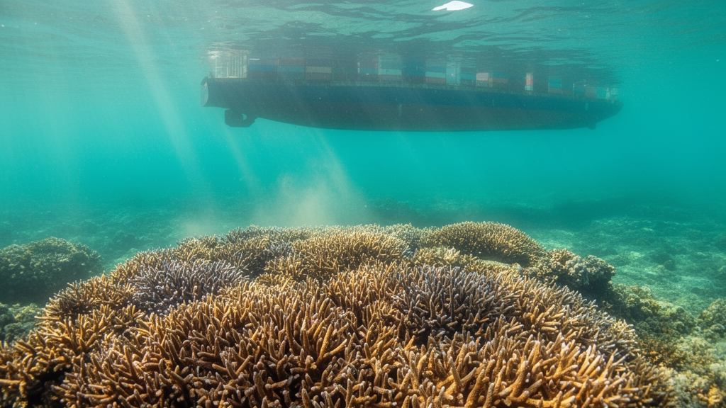
A field survey of 15 islands in Indonesia’s Karimunjawa Marine National Park found that coral abundance and species richness differed between eastern shipping-route sites and other route categories, while coral disease prevalence, hard-coral cover, overall diversity and evenness did not differ significantly among the three groups. The observational study grouped islands as west route, east route and non-route areas, but its limited data and observation period prevented the researchers from establishing long-term trends or attributing differences to shipping activity.
Karimunjawa Marine National Park comprises 27 islands about 100 km north of Semarang, Central Java, in the Java Sea. The surveyed park has been documented as containing about 100 coral species from more than 50 genera and approximately 250 fish species. The west-route category included regular tourism arrivals at Menjangan Kecil, Burung, Geleang, Cemara Besar and Cemara Kecil. The east-route category included Menjangan Besar, Gosong Saloka, Kecil, Tengah and Sintok, while Sambangan, Seruni, Genting, Cendekia and Menyawakan were classified as non-route areas because tourism arrivals there were irregular.
Researchers randomly established three belt transects measuring 2 by 15 meters, or 30 square meters, on each of the 15 islands. Transects were placed at depths of 3 and 8 meters, and line-intercept transects were established in the center of each belt transect, producing 90 transects in total. Divers identified benthic categories, estimated hard-coral cover from the proportion of transect occupied by scleractinian corals, and recorded every scleractinian colony larger than 5 cm in diameter by genus. Colonies were classified as diseased when they showed color or structural changes, tissue loss, necrosis or abnormal growth, and as healthy when no lesions or other signs of compromised health were present.
The investigators calculated disease prevalence as the number of colonies with each disease divided by the total number of colonies in a transect. They also measured percentage coral cover, the Shannon-Weaver diversity index, species richness and evenness. One-way analyses of variance in SPSS 22 were used to compare disease prevalence, coral cover and coral biological diversity among the route categories. These methods made it possible to identify statistical associations between route category and the measured reef attributes, but they did not establish that route activity caused the differences.
Mean coral-disease prevalence was 7.5% in west-route areas, 5.8% in east-route areas and 5.2% in non-route areas. The differences were not statistically significant. Nine conditions were recorded across the route categories: White Syndrome, White Blotch, Black Band Disease, Pigmentation Response, White Plague, Ulcerative White Spot, Black Disease, Growth Anomaly and Skeleton Erode. The data therefore showed numerical differences in mean prevalence, but not evidence that the route groups differed in their overall prevalence of coral disease.
Hard-coral cover averaged 68.14% in the west-route group, 64.9% in the east-route group and 61.18% in the non-route group. One-way analysis found no statistically significant difference among those means. The west-route category had the highest measured cover despite being described in the study as the most visited by tourists, vessels, boats and ships, but the data did not support a significant route-related contrast in coral cover or a claim that shipping traffic had no effect on reefs under all conditions.
Significant differences emerged for relative coral abundance and species richness. West-route sites had a relative abundance of 36.6% and species richness of 17.86, compared with 26.5% and 14.04 in east-route sites. Non-route sites recorded 37.0% relative abundance and 17.12 species richness. Post-hoc least significant difference tests showed that both measures differed significantly between the west and east routes, while the west and non-route categories did not differ significantly from each other. The Shannon-Weaver diversity index was 2.18 ± 0.7 for the west route, 2.02 ± 0.9 for the east route and 2.2 ± 0.8 for the non-route group; evenness was 0.76 ± 0.02, 0.78 ± 0.02 and 0.79 ± 0.01, respectively. Neither diversity nor evenness differed significantly among the categories.
Depth was also examined as a potential influence. At 3 meters, mean disease prevalence was 6.18 ± 0.94%, coral cover 67.07 ± 2.42%, the H-index 2.15 ± 0.06, species richness 16.22 ± 0.59 and evenness 0.79 ± 0.01. At 8 meters, the corresponding values were 6.43 ± 0.73%, 62.85 ± 2.89%, 2.13 ± 0.04, 17.07 ± 0.72 and 0.76 ± 0.01. No significant differences between the two depths were detected for these measures. Coral cover nevertheless tended to be lower at 8 meters, a pattern the authors associated with reduced light, and they noted that very low water flow may also affect coral growth through boundary-layer formation and nutrient absorption.
The authors described management of the park as relatively sufficient on the basis of the available data and concluded that coral cover remained maintained despite congested shipping lanes. That conclusion is bounded by the study’s short observation period and limited dataset, which could not capture long-term changes in coral cover. The authors said further research is needed to determine the specific causes of differences in coral abundance and species richness in relation to shipping-route activity, while emphasizing that reef conditions and human impacts vary with local context.
Subject of Research: Association between shipping-route categories and coral reef condition across 15 islands in Karimunjawa Marine National Park, Indonesia
Article Title: Possible effects of shipping routes on coral reef degradation and diversity in Karimunjawa Marine National Park, Java Sea
Article References: Sabdono, A., Wijayanti, D. P., Hilmi, M., & Satya, E. D. (2024). Possible effects of shipping routes on coral reef degradation and diversity in Karimunjawa Marine National Park, Java Sea. BioRisk, 22, 53-64. https://doi.org/10.3897/biorisk.22.124897
Image Credits: AI Generated
DOI: 10.3897/biorisk.22.124897
Keywords: Karimunjawa Marine National Park, coral reefs, shipping routes, coral disease, coral cover, species richness, coral diversity, Java Sea, ecological field survey, Possible, effects, shipping
Cite Scienmag News
Margaret Porter. (October 20, 2026). Shipping-route survey finds differences in coral abundance and species richness across Karimunjawa. Scienmag. https://scienmag.com/shipping-route-survey-finds-differences-in-coral-abundance-and-species-richness-across-karimunjawa/
Margaret Porter. "Shipping-route survey finds differences in coral abundance and species richness across Karimunjawa." Scienmag, 20 October 2026, https://scienmag.com/shipping-route-survey-finds-differences-in-coral-abundance-and-species-richness-across-karimunjawa/. Accessed 20 October 2026.
Margaret Porter. "Shipping-route survey finds differences in coral abundance and species richness across Karimunjawa." Scienmag. October 20, 2026. https://scienmag.com/shipping-route-survey-finds-differences-in-coral-abundance-and-species-richness-across-karimunjawa/


