


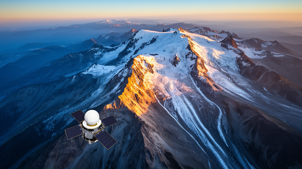
Mountains cover roughly a quarter of Earth’s land surface, yet they remain among the most difficult places on the planet to observe. Steep slopes, deep valleys, persistent cloud cover and extreme climate variability make conventional ground-based data collection slow, expensive and often dangerous. A new collection of studies published in Frontiers in Remote Sensing, assembled as a Research Topic on remote sensing applications in mountainous regions, shows how satellite observations are now filling these observational gaps with a precision that was unthinkable a decade ago. The editorial, led by Divyesh Varade of the Indian Institute of Technology Jammu together with colleagues at IIT Mandi, IIT Guwahati and Michigan State University, frames the collection around a central question: how can multi-sensor Earth observation reliably capture the hydro-climatological processes that govern some of the world’s most fragile and water-critical landscapes?
The stakes could hardly be higher. Mountain catchments supply fresh water to billions of people downstream, host extraordinary biodiversity, and sit squarely among the landforms most sensitive to a warming climate. When extreme rainfall strikes a steep Himalayan valley or a tropical Andean slope, the consequences can include flash floods, landslides and catastrophic debris flows. The four studies highlighted in the collection tackle these problems from different angles, spanning hydrological modelling, extreme event characterisation and environmental risk mapping, and together they demonstrate the breadth of what modern remote sensing can achieve in terrain that resists conventional monitoring.
One of the most striking findings concerns a deceptively simple question: how often does a satellite need to look at a watershed to capture its most violent moments? Sharma and colleagues assessed temporal sampling uncertainty in hydrological modelling using observations from the Global Precipitation Measurement mission and the TROPICS constellation of small satellites. Their analysis focused on data-scarce watersheds prone to hydrological extremes, where the timing of satellite overpasses can determine whether a flash-flood-producing storm is recorded at all or missed entirely. The conclusion was remarkably concrete: for reliable rainfall-runoff simulation and effective hydrological assessment in such watersheds, a minimum of three high-frequency CubeSats is likely necessary to achieve revisit intervals short enough to analyse the extreme events that trigger flash floods.
This finding matters because it converts an abstract modelling concern into an actionable engineering requirement. Precipitation products differ in their spatial resolution, and uncertainties propagate through hydrological models in ways that can distort runoff simulations precisely when accuracy matters most, during extremes. By delineating the impact of temporal sampling uncertainty on modelled runoff, the study provides satellite mission planners with a quantified target. As smallsat constellations become cheaper to deploy, the research suggests that a modest fleet of radar-equipped CubeSats could transform flood forecasting in mountain basins that have never had a ground-based gauge.
Half a world away in the tropical Andes, another team confronted the same challenge of catching extreme rain in the act. Urgilés and colleagues employed high-resolution X-band weather radar to characterise 67 critical extreme rain events, mapping hotspots based on parameters such as peak intensity, spatial area and the cohesion of storm core cells. Weather radar of this class can resolve the internal structure of a storm as it evolves minute by minute, revealing how concentrated the rainfall becomes within small, intense cells that satellite precipitation products with coarser footprints can smear or miss. The work provides critical insights for improving localised flood forecasting in a region where steep topography funnels intense rainfall into narrow valleys with little warning.
The remaining two studies turned to the diverse mountain regions of India, from the Sikkim Himalayas to the Western Ghats of Kerala. In the largely ungauged Lachen Basin of the upper Teesta catchment, Mukherjee and Krishna investigated a coupled temperature-index based snowmelt runoff model. They combined the traditional temperature-index routing approach with a linear reservoir routing scheme, driving the model with remote sensing and gridded datasets rather than ground observations. The approach led to improved water resource forecasts in this data-scarce Himalayan basin, demonstrating that snowmelt-driven river flows can be modelled credibly even where stream gauges are absent, a capability with direct implications for hydropower operations and downstream water security.
In Kerala’s Iduki district, Drisiya and Singh illustrated the value of multi-source remote sensing in assessing the cumulative pressures on tropical mountainous landscapes. Their integrated eco-environmental risk mapping revealed a significant overlap between extreme precipitation events and landslide-affected areas, identifying high-risk zones across the region. Crucially, they observed that risk was heightened by increasing development corresponding to higher tourism and the forest alteration that accompanies it in steep topography. The findings serve as a stark reminder that human activity is transforming land use in natural mountainous landscapes and increasing their environmental sensitivity, compounding the hazards posed by a changing climate.
Despite these advances, the editorial is candid about the constraints that still bind mountain remote sensing. Open-source Digital Elevation Models often represent topography inadequately at the resolutions these applications demand, and the modelling of snow and glacier land cover in hydro-fluvial and geomorphological models remains imprecise. Validation poses a further challenge in data-sparse regions where physical accessibility is a critical issue, which in turn constrains the development of machine learning frameworks and physically based process models that require reliable ground truth. The spatio-temporal resolution of available remote sensing data itself inhibits the broader application of models across mountain catchments, where conditions can change dramatically over distances of a few hundred metres.
Looking ahead, the editorial identifies clear opportunities. The next generation of satellite missions is expected to offer higher spatial and temporal resolution, enhanced spectral coverage and significant innovation in sensing modalities, expanding the observational envelope for mountain science. Closer coupling of remote sensing data with in-situ measurements and crowd-sourced information is expected to improve Earth observation and bio-physical products in mountainous regions, blending the strengths of orbiting sensors with the knowledge of communities who live in these landscapes. The collection contributes to a growing body of evidence for remote sensing as a foundational element of mountain science and sustainability, and the editors encourage the broader scientific community to continue advancing both the science and application of Earth observation in mountainous environments.
Subject of Research: Editorial: Remote sensing applications in mountainous regions
Article Title: Editorial: Remote sensing applications in mountainous regions
Article References: Varade, D., Shukla, D. P., Mandal, D., & Das, N. (2026). Editorial: Remote sensing applications in mountainous regions. Frontiers in Remote Sensing, 7, Article 1981032. https://doi.org/10.3389/frsen.2026.1981032
Image Credits: AI Generated
DOI: 10.3389/frsen.2026.1981032
Keywords: remote sensing, mountains, hydrology, extreme precipitation, landslides, satellites, snowmelt, flood forecasting, Editorial, Remote, sensing, applications
Cite Scienmag News
Violet Maxwell. (October 17, 2026). Satellites Reveal How Mountains Are Changing in a Warming World. Scienmag. https://scienmag.com/satellites-reveal-how-mountains-are-changing-in-a-warming-world/
Violet Maxwell. "Satellites Reveal How Mountains Are Changing in a Warming World." Scienmag, 17 October 2026, https://scienmag.com/satellites-reveal-how-mountains-are-changing-in-a-warming-world/. Accessed 17 October 2026.
Violet Maxwell. "Satellites Reveal How Mountains Are Changing in a Warming World." Scienmag. October 17, 2026. https://scienmag.com/satellites-reveal-how-mountains-are-changing-in-a-warming-world/


