


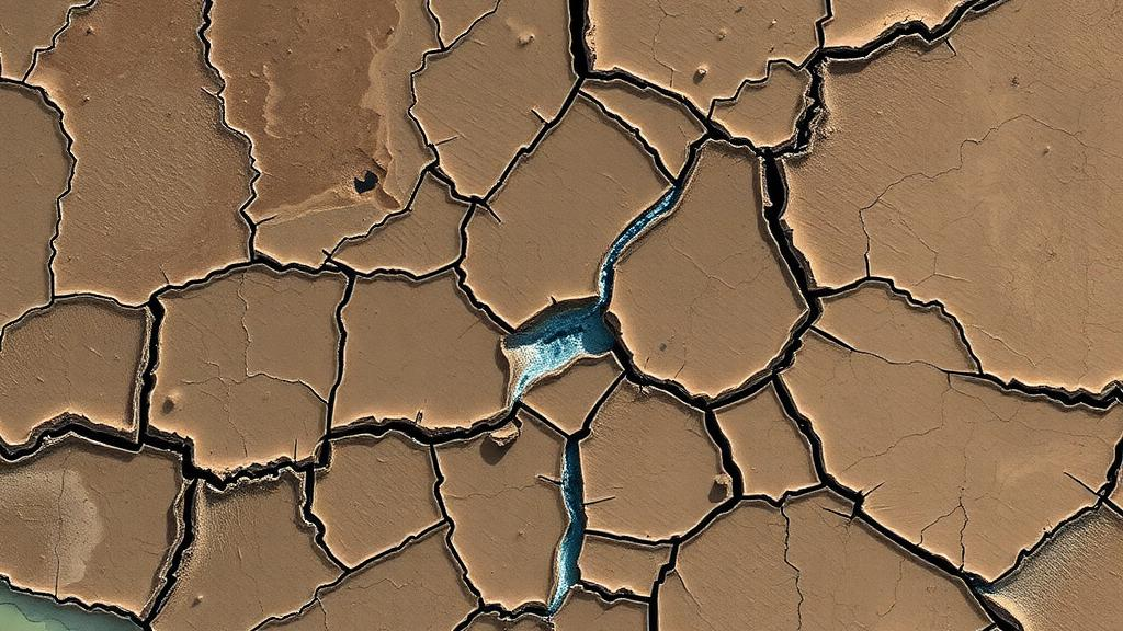
In the rolling, forested countryside of southern Côte d’Ivoire, the water that millions of people depend on is hidden beneath one of the most deceptive landscapes in West Africa. The Agnéby-Tiassa region, home to roughly 866,000 people across 9,080 square kilometres, sits atop ancient Precambrian bedrock buried under a thick blanket of weathered rock and laterite, all concealed by dense tropical vegetation. Surface water supplies from the Agnéby and Bandama rivers have proven unreliable, producing less than the national average daily consumption of 183 litres per capita and raising persistent quality concerns even after treatment. Now, a team of Ivorian researchers has demonstrated that the secret to unlocking the region’s groundwater lies in combining satellite radar eyes in orbit with electrical probes in the ground and the statistical wisdom of hundreds of existing boreholes.
The study, published in the journal Discover Geoscience, was led by Vincent Tchimou Assoma of the University of Félix Houphouët-Boigny in Abidjan, together with colleagues from the University of Jean Lorougnon Guédé. Their goal was deceptively simple to state but notoriously difficult to achieve: find the open fractures in hard crystalline rock that can supply enough water to justify the cost of drilling a production borehole. In basement terrain, a misplaced borehole is not merely a disappointment; it is an expensive hole in the ground that can cripple the budget of a rural water programme. Across the region, 65.3 percent of villages rely on inadequate water points, each serving an average of 1,518 inhabitants against the national standard of one point per 500 people.
The conceptual foundation of the work rests on a paradigm shift that has reshaped hydrogeology over the past two decades. For much of the twentieth century, groundwater in crystalline rock was assumed to flow through tectonic fractures, and prospectors targeted the largest visible faults. Modern research has overturned that view: it is weathering, not tectonics alone, that creates the fracture networks through which water moves. As biotite minerals in granite oxidise and swell, and as differential stress is released during the breakdown of the rock, a zone of micro-fracturing develops at the base of the weathering profile. This so-called Stratiform Fractured Zone, typically 10 to 30 metres thick, provides the primary transmissivity of hard-rock aquifers across West Africa, and the highest borehole yields consistently come from intersections with it.
To see through the vegetation and regolith, the team turned to the European Copernicus programme’s Sentinel-1 radar satellites. Unlike optical sensors such as Landsat or Sentinel-2, whose views are routinely blocked by clouds and canopy, the C-band radar wave penetrates vegetation and responds to micro-topography and soil roughness. The researchers processed two Sentinel-1B scenes acquired in January 2019 in dual VV and VH polarisations, applying orbit correction, radiometric calibration, terrain correction against a digital elevation model, and a Lee speckle filter. Sobel edge-detection filters oriented along four azimuths then accentuated linear discontinuities, which the team extracted manually using standard photo-geological criteria before discarding anthropogenic features such as roads and plantation boundaries.
The result was a structural map of remarkable density: 458 major lineaments, some stretching up to 33.5 kilometres in length, and 1,442 lineaments in total across all azimuths. The dominant orientations tell a deep geological story. East-west trends between N82° and N97° are the most frequent, followed by northwest-southeast directions of Liberian age (N120° to N160°) and northeast-southwest directions of Eburnean age (N30° to N60°). Together they confirm the intensity of the tectonic deformation that has racked this fragment of the West African craton. When the researchers overlaid 26 boreholes with yields of 5 cubic metres per hour or more onto the lineament map, every single one sat on or within 100 to 500 metres of a mapped structure, a statistical association that strongly suggests many of these lineaments mark open, water-bearing fractures.
Radar images, however, only hint at what lies below. To validate the structures on the ground, the team conducted electrical resistivity profiling with a Schlumberger array at seven sites in the Agboville department, using a Syscal Junior resistivity meter with a 200-metre current electrode spread and 10-metre station spacing. In total, four profiles comprising 90 measurement stations and 860 linear metres of surveying were completed, each run perpendicular to the presumed strike of the target anomaly. The apparent resistivity curves revealed characteristic conductive anomalies in three shapes: sharp V-shaped minima indicating narrow conductive compartments, and broader U- and W-shaped troughs indicating wide compartments. One V-shaped anomaly at the Ery Makoudjié site bottomed out at just 800 ohm-metres, while paired U- and W-shaped anomalies at another site registered around 1,200 ohm-metres. Such lows are classically interpreted as open fractures or thickened weathered material saturated with water, though the authors caution they could also represent clay-filled palaeochannels or lithological contacts that would need vertical electrical soundings to discriminate.
The third pillar of the integrated approach was a statistical dissection of the region’s drilling archive. From a national database, the team retained 307 village water supply boreholes with complete records on depth, lithology, static water level and air-lift yield. The boreholes ranged from 20.6 to 111.8 metres deep, with a mean of 57.7 metres, and penetrated weathered profiles varying from zero to 100 metres thick, averaging around 35 to 40 metres. Air-lift yields spanned 0 to 21.6 cubic metres per hour, with a mean of 4.2 and a median of 2.5, a strongly skewed distribution typical of fractured aquifers where a few lucky holes tap transmissive structures while most scrape by. Classified by the Inter-African Committee for Hydraulic Studies scheme, the region’s boreholes split into 16.9 percent very low, 31.9 percent low, 21.8 percent medium, 17.6 percent high and 11.8 percent very high yield categories.
The productivity analysis yielded concrete siting criteria that could transform future drilling campaigns. The best yields, above 2.5 cubic metres per hour, cluster in granitic and volcano-sedimentary schist terrains where the regolith is between 15 and 80 metres thick and total borehole depths run from 30 to 90 metres. The single highest recorded yield of 19.8 cubic metres per hour came from granite at roughly 50 metres of alterite thickness and 58 metres of total depth. Yields of 10 cubic metres per hour or more occurred systematically where boreholes penetrated the Stratiform Fractured Zone at depths of 50 to 80 metres below ground. Granite hosted 62.5 percent of the region’s boreholes and volcano-sedimentary schists 36.8 percent, with migmatites and gneisses playing a negligible role. Box plots across the five yield classes showed interquartile ranges widening from 0.2 to 0.7 cubic metres per hour in the low classes up to 12.0 to 15.8 in the very high class, underscoring the extreme spatial heterogeneity of fracture permeability.
The authors are candid about the limits of their method. Electrical profiling is a qualitative, first-order reconnaissance tool vulnerable to interpretation artefacts, and a resistivity minimum can as easily mark an impermeable clay pocket as a productive fracture. The geophysical survey covered only seven sites, and the borehole database suffered from inconsistent geological descriptions, forcing rigorous pre-processing that retained just 27 percent of the original records. Spatial correlation between high-yield boreholes and lineaments, moreover, implies statistical association rather than proven causation. The team recommends that future work deploy vertical electrical soundings or full 2D and 3D electrical resistivity tomography to resolve the geometry of conductive bodies at depth, alongside systematic pumping tests and hydrochemical analyses. They also point to emerging tools, including InSAR time series that track aquifer deformation and deep learning networks such as U-Net that could automate lineament extraction with more objectivity than human interpreters.
Even with those caveats, the study delivers a practical framework at a moment when it is urgently needed. The Agnéby-Tiassa Regional Council has a funding proposal pending that would use these findings to site new water supply boreholes, and the quantitative criteria on regolith thickness, depth and lithology offer a reference for campaigns across similar basement terrains in humid tropical Africa. By demonstrating that free Copernicus radar data, low-cost electrical profiling and existing drilling archives can be woven into a coherent targeting strategy, the research offers a path to lower failure rates, better investments and, ultimately, safer drinking water for communities whose hidden aquifers have waited beneath the forest canopy all along, in line with the United Nations Sustainable Development Goal 6 on clean water and sanitation.
Subject of Research: Hydrogeological characterization of fractured basement aquifers in southern Côte d'Ivoire using satellite radar, geophysics and borehole data
Article Title: Hydrogeological characterization of fractured basement aquifers using an integrated analysis in the Agnéby-Tiassa region of southern Côte d’Ivoire
Article References: Assoma, V. T., Koudou, A., Youan, M. T., Diaby, M., & Oularé, S. (2026). Hydrogeological characterization of fractured basement aquifers using an integrated analysis in the Agnéby-Tiassa region of southern Côte d’Ivoire. Discover Geoscience, 4(1), Article 361. https://doi.org/10.1007/s44288-026-00733-w
Image Credits: AI Generated
DOI: 10.1007/s44288-026-00733-w
Keywords: hydrogeology, basement aquifers, Sentinel-1, lineaments, electrical resistivity, borehole productivity, fractured rock, Côte d'Ivoire, groundwater, remote sensing, weathering profile, water supply
Cite Scienmag News
Violet Maxwell. (October 2, 2026). Satellite radar and geophysics reveal hidden water in Côte d’Ivoire’s fractured bedrock. Scienmag. https://scienmag.com/satellite-radar-and-geophysics-reveal-hidden-water-in-cote-divoires-fractured-bedrock/
Violet Maxwell. "Satellite radar and geophysics reveal hidden water in Côte d’Ivoire’s fractured bedrock." Scienmag, 2 October 2026, https://scienmag.com/satellite-radar-and-geophysics-reveal-hidden-water-in-cote-divoires-fractured-bedrock/. Accessed 4 October 2026.
Violet Maxwell. "Satellite radar and geophysics reveal hidden water in Côte d’Ivoire’s fractured bedrock." Scienmag. October 2, 2026. https://scienmag.com/satellite-radar-and-geophysics-reveal-hidden-water-in-cote-divoires-fractured-bedrock/


