


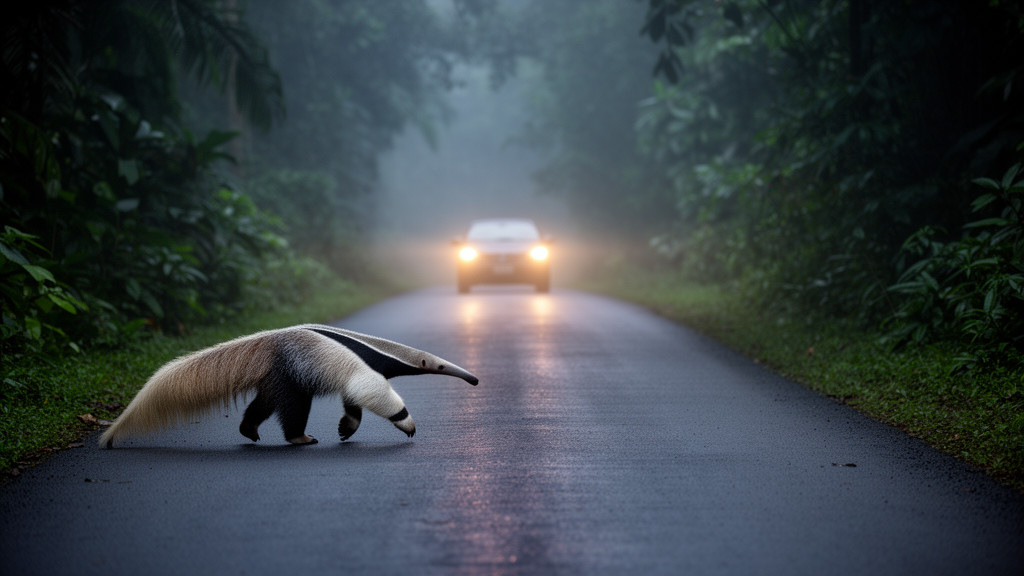
The Northern Tamandua, a slow-moving anteater that freezes in a defensive posture when threatened, has become one of the most frequently recorded roadkill species in national surveys. The research, conducted in the Tempisque Conservation Area, combined habitat suitability modeling, landscape connectivity analysis and detailed road characteristics into a maximum entropy roadkill risk model. The final model achieved an exceptional predictive performance, with an area under the curve value of 0.989, and identified 108.7 kilometers of road sections across the region as high risk for the species.
Most of these hotspots were concentrated on primary roads in low-elevation areas of the northern and eastern parts of the study area. Roads are among the most pervasive features of the modern world. Approximately a fifth of the planet's land surface lies within one kilometer of a road, and their impacts extend far beyond the asphalt itself.
Roads fragment habitats, generate chemical, acoustic and light pollution, create barriers to movement and introduce invasive species and pathogens. In extreme cases, the loss of landscape connectivity they cause can lead to genetic differentiation and even the extinction of isolated populations. Roadkill is not randomly distributed across space.
Previous studies have shown that collisions concentrate in locations that reflect road and landscape characteristics as well as species movement patterns at various scales. Habitat suitability and landscape connectivity have repeatedly proven significant in detecting roadkill hotspots for species with varied morphological traits and ecological requirements. Yet in Central America, road ecology research only emerged recently, and in Costa Rica, a country harboring 6.5 percent of global biodiversity within one of the densest road networks in the world, such research is of primary conservation importance.
The Northern Tamandua, listed as Least Concern on the IUCN Red List, faces road mortality as its main documented threat across its range. The species is a generalist that tends to favor forested areas, but detailed information on its ecological requirements remains scarce. Only one previous Costa Rican study had attempted to predict roadkill risk for the species, and it omitted environmental factors entirely.
The new research aimed to fill this gap by characterizing the spatial distribution of tamandua roadkills, identifying high-risk road sections with precision and analyzing the contribution of environmental and road variables to the prediction. Presence data for the species was retrieved from the Global Biodiversity Information Facility and filtered to retain records of living individuals, yielding 558 presence locations. A two-level hierarchy was used to produce the habitat suitability model, first at one-kilometer resolution across the species' entire distribution range using WorldClim bioclimatic variables and elevation data, then refined to the study area at 30-meter resolution using local predictors including slope, land cover type, mean canopy height derived from NASA's Global Ecosystem Dynamics Investigation and the normalized difference vegetation index calculated from Landsat-8 imagery.
The landscape connectivity model was constructed according to circuit theory using CIRCUITSCAPE software, converting the habitat suitability map into a resistance surface rather than relying on expert-based land cover reclassification. Roadkill data came from field surveys conducted between June and August 2023, in which every national road in the area, totaling 973 kilometers, was traversed at least twice at speeds of 40 to 60 kilometers per hour. No road-killed individuals were found during the surveys themselves, but six records were retrieved from the citizen science project Fauna atropellada en las carreteras de Costa Rica on iNaturalist and four from GBIF, producing ten georeferenced roadkill locations.
Seventy percent of these occurred on primary roads and the remainder on secondary roads, with the highest roadkill density around the Tempisque River estuary near Barra Honda National Park. The roadkill risk model incorporated the habitat suitability and landscape connectivity outputs alongside road width, average vehicle speed, average daily traffic and Euclidean distance to urban settlements, all rasterized at 30-meter resolution. Background points were constrained to a 250-meter buffer around the road network, reflecting the species' home range size.
The consensus model, built by averaging the ten best-performing replicates, revealed that road width and average vehicle speed were the highest contributing variables, followed by habitat suitability. Average daily traffic contributed 2.7 percent, distance to urban settlements 0.5 percent, and landscape connectivity proved to be the variable with the lowest contribution at just 0.2 percent. The predominance of road characteristics makes ecological sense when considering the tamandua's behavior.
The animal is slow and awkward on the ground, unable to gallop fast enough to avoid approaching vehicles, and when threatened it adopts a defensive tripod posture and stays still. This behavior makes it particularly vulnerable when crossing wide roads with fast-moving traffic. The response curves for road width, vehicle speed and daily traffic showed a positive relationship with roadkill risk up to a deadly trap threshold approaching complete roadkill probability, a pattern observed directly for multiple other taxa and indirectly in studies of the European badger.
The strictly positive relationship between roadkill risk and habitat suitability coincides with findings for the roe deer, where risk was linearly correlated with the proportion of available habitat near roads, and for the European hedgehog. However, the exact relationship is species-dependent, often reflecting behavioral aspects such as dispersal patterns and new habitat exploration. The finding that landscape connectivity did not contribute significantly to the model contrasts with several previous studies, though the authors note that different methods produce different results when evaluating this complex concept, and that in a mainly rural context, high habitat suitability patches might be a more crucial component for the species than connectivity between them.
The authors emphasize that road characteristics, particularly width and traffic speed, should be central considerations in the design of mitigation measures, and they invite conservation managers to incorporate this type of predictive model into their wildlife-vehicle collision planning.
Subject of Research: Science News
Article Title: Predicting roadkill: a regional-scale model for the Northern Tamandua integrating environmental and road characteristics
Article References: Boyat, S., & Arévalo-Huezo, E. (2025). Predicting roadkill: a regional-scale model for the Northern Tamandua integrating environmental and road characteristics. Neotropical Biology and Conservation, 20(1), 21-36. https://doi.org/10.3897/neotropical.20.e124522
Image Credits: AI Generated
DOI: 10.3897/neotropical.20.e124522
Keywords: road ecology, wildlife roadkill, Northern Tamandua, Costa Rica, habitat suitability, landscape connectivity, maximum entropy model, conservation, Predicting, roadkill, regional-scale, model
Cite Scienmag News
Margaret Porter. (October 20, 2026). Research report: Predicting roadkill: a regional-scale model for the Northern Tamandua integrating environmental and road characteristics. Scienmag. https://scienmag.com/research-report-predicting-roadkill-a-regional-scale-model-for-the-northern-tamandua-integrating-environmental-and-road-characteristics/
Margaret Porter. "Research report: Predicting roadkill: a regional-scale model for the Northern Tamandua integrating environmental and road characteristics." Scienmag, 20 October 2026, https://scienmag.com/research-report-predicting-roadkill-a-regional-scale-model-for-the-northern-tamandua-integrating-environmental-and-road-characteristics/. Accessed 20 October 2026.
Margaret Porter. "Research report: Predicting roadkill: a regional-scale model for the Northern Tamandua integrating environmental and road characteristics." Scienmag. October 20, 2026. https://scienmag.com/research-report-predicting-roadkill-a-regional-scale-model-for-the-northern-tamandua-integrating-environmental-and-road-characteristics/


