


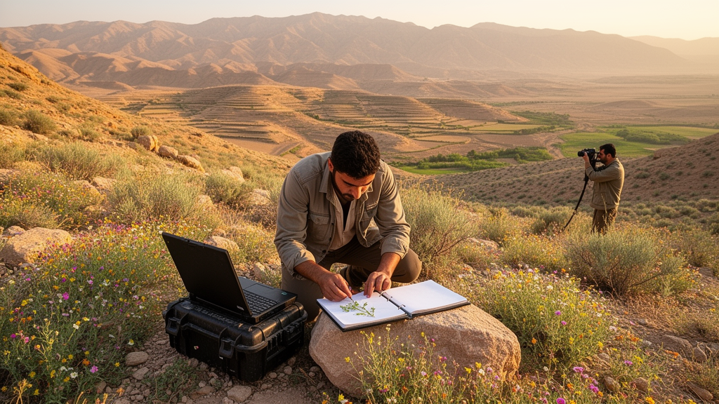
Elevation plunges from 26 meters below sea level on the southern Caspian shores to 5,671 meters at the summit of Mount Damavand, the highest peak in all of Southwest Asia. Annual precipitation swings from under 30 millimeters in the scorching Dasht-e-Lut desert to more than 2,000 millimeters in the lush Hyrcanian forests of the north. Mean temperatures of the coldest and warmest months range from -13.3 degrees Celsius in the Alborz Mountains to 47.5 degrees Celsius in the Kerman deserts.
Now, after decades of scattered fieldwork, researchers have consolidated Iran's vegetation data into a single national repository: the Vegetation Database of Iran, known as IranVeg, which currently holds 13,411 vegetation plots spanning six major habitat types and nearly 4,000 plant species. What makes Iran so special is its position at the crossroads of three phytogeographical regions: the Euro-Siberian zone along the Caspian Sea shores in the north, the vast Irano-Turanian region covering most of the country, and the Saharo-Sindian zone along the Persian Gulf and the Oman Sea in the south. This convergence, combined with intricate geology, mountainous terrain, and a wide altitudinal range, has fostered a flora of more than 8,000 vascular plant species, roughly 32 percent of which are found nowhere else on Earth.
Iran also hosts two global biodiversity hotspots, the Caucasian and Irano-Anatolian, and five recognized areas of endemism: the Zagros, Alborz, Azerbaijan Plateau, Kopet Dagh-Khorassan, and Yazd-Kerman regions. The database captures this diversity across six major habitat types. Deciduous forests, dominated by the temperate Hyrcanian forests of northern Iran, account for 18.0 percent of the plots.
These UNESCO World Heritage forests preserve the phylogenetic heritage of the late Tertiary period, housing endemic Arcto-Tertiary floristic elements, with dominant tree species including Fagus orientalis, Carpinus betulus, Quercus castaneifolia, Parrotia persica, and Pterocarya fraxinifolia. Woodlands and shrublands make up 5.6 percent of the plots, embracing drought-adapted oak steppe-forests in the Zagros Mountains, pistachio-almond shrub steppes, juniper woodlands, and savanna-like Acacia-Prosopis communities in the south. Steppes and other grasslands form the largest category, encompassing 52.0 percent of all plots.
The researchers subdivided this broad group into lowland steppes dominated by aromatic, bluish-silvery Artemisia species below 1,200 meters, montane steppes between 1,200 and 3,500 meters where thorn-cushion communities of Astragalus, Acantholimon, and Acanthophyllum thrive, and alpine steppes above 3,500 meters extending into the subnival zone and snowbed vegetation. Saline depressions, comprising 9.3 percent of the plots, include the great central Iranian deserts Dasht-e Kavir and Kavir-e Lut, the salt flats of Lake Urmia, and coastal sabkha ecosystems along the Persian Gulf. These structurally uniform communities are shaped by two ecological drivers, salinity and moisture, and feature halophytic genera such as Anabasis, Atriplex, Climacoptera, Limonium, Salsola, and Suaeda.
Wetlands account for 12.2 percent of the plots, ranging from freshwater lakes and riparian habitats to montane mires and springs. These wet patches function as ecological oases within the arid Irano-Turanian steppes, providing refuge for rare and endangered endemic flora such as Cerastium persicum, Ligularia persica, and Swertia longifolia. Anthropogenic habitats, including arable fields and urban green spaces, round out the database at 2.9 percent.
The temporal depth of IranVeg is striking. Plot sizes vary wildly, from less than 1 square meter to 10,000 square meters, and the majority of surveys employed the 7-step and 9-step versions of the Braun-Blanquet cover-abundance scales derived from the Zurich-Montpellier School of phytosociology. About 71 percent of plots were georeferenced with GPS coordinates at a precision of 25 meters or less, while the remainder were derived from the central point of study areas using Google Earth with a precision of 5 kilometers.
Environmental variables add crucial analytical value. Altitude is recorded in 80 percent of plots, slope in 60 percent, and aspect in 50 percent. Species nomenclature was standardized using the U.Taxonstand package in R and harmonized with the World Flora Online database, ensuring taxonomic consistency across decades of data collection.
IranVeg is far more than a national archive. A total of 7,375 plots have already been incorporated into the emerging version 4.0 of the global database sPlot, and 2,875 plots into the Palaearctic GrassPlot database, meaning Iranian vegetation data are now feeding directly into continental and global macroecological analyses. The database likely accounts for approximately 67 percent of all vegetation plots surveyed in Iran, averaging 0.8 plots per 100 square kilometers, with a notable concentration in the northern regions near research centers.
Yet significant gaps remain. Vast stretches of the Zagros Mountains, the Saharo-Sindian savanna-like grasslands of the south, and extensive areas across the Alborz range lack even a single plot, highlighting disparities driven by limited funding, logistical difficulties in remote areas, and declining scholarly interest in vegetation ecology. Of the 31 phytosociological classes proposed for Iran's vegetation, only a small fraction have been validly published, and considerable effort is still required to validate the remaining syntaxa.
The IranVeg Consortium operates as a self-governed collaboration in which every data contributor becomes a member, and researchers holding relevant vegetation data are encouraged to contribute plots while those seeking to use the database may submit proposals to the custodians.
Subject of Research: Ecology and Biodiversity
Article Title: IranVeg – the Vegetation Database of Iran: current status and the way forward
Article References: Ramzi, S., Noroozi, J., Gholizadeh, H., Hamzeh’ee, B., Asri, Y., Talebi, A., Moradi, H., Mahdavi, P., Tamjidi Eramsadati, S. S., Zarezadeh, S., Kamrani, A., Esmailzadeh, O., Ghorbanalizadeh, A., Bashirzadeh, M., Jalili, A., Sharifi, J., Moradi, A., Bidarlord, M., Siadati, S., … Naqinezhad, A. (2024). IranVeg – the Vegetation Database of Iran: current status and the way forward. Vegetation Classification and Survey, 5, 237-256. https://doi.org/10.3897/vcs.114081
Image Credits: AI Generated
DOI: 10.3897/VCS.114081
Keywords: IranVeg, vegetation database, biodiversity, phytosociology, Iran, plant ecology, conservation, macroecology, Vegetation, Database, current, status
Cite Scienmag News
Margaret Porter. (October 20, 2026). Research report: IranVeg – the Vegetation Database of Iran: current status and the way forward. Scienmag. https://scienmag.com/research-report-iranveg-the-vegetation-database-of-iran-current-status-and-the-way-forward/
Margaret Porter. "Research report: IranVeg – the Vegetation Database of Iran: current status and the way forward." Scienmag, 20 October 2026, https://scienmag.com/research-report-iranveg-the-vegetation-database-of-iran-current-status-and-the-way-forward/. Accessed 20 October 2026.
Margaret Porter. "Research report: IranVeg – the Vegetation Database of Iran: current status and the way forward." Scienmag. October 20, 2026. https://scienmag.com/research-report-iranveg-the-vegetation-database-of-iran-current-status-and-the-way-forward/


