


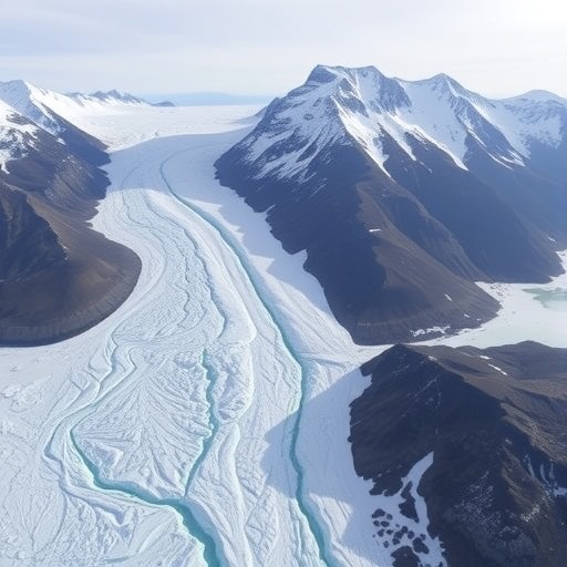
Glaciers may look motionless, but they are constantly sliding and deforming under their own weight—making glacier speed a crucial clue to how Earth’s ice responds to climate change. Tracking that movement is also essential for estimating mass loss, potential sea-level contributions, and hazards such as ice avalanches and glacial lake outburst floods.
A new systematic review in Geodesy and Geodynamics examines how synthetic aperture radar (SAR) imaging geodesy can monitor glacier velocity across vast and remote regions. Written by researchers from Peking University, the paper outlines the core SAR principles, reviews major glaciology applications, and assesses where the field is headed next.
On the ground, measuring glacier flow is notoriously difficult. Many glaciers sit in polar or high-altitude environments where installing and maintaining long-term instruments is expensive and logistically hard. SAR offers a different approach: satellites actively transmit electromagnetic signals and analyze how they reflect off the glacier surface, enabling observations day or night and through nearly all weather.
Beyond coverage, SAR provides non-contact measurements with high spatial resolution. That matters because glacier motion can be subtle at first and uneven across the landscape, requiring methods that can resolve spatial patterns and detect directional flow.
The review compares several SAR-based velocity techniques and highlights pixel offset tracking as particularly useful for glacier studies. While some radar methods can achieve centimeter- or even millimeter-scale sensitivity, they depend on the glacier surface remaining sufficiently similar between successive satellite passes.
Rapid glacier motion can violate that assumption—surface texture can change too much for fine-scale techniques to match reliably. Pixel offset tracking, by contrast, searches for recognizable surface features across two SAR images, making it better suited to larger displacements and therefore effective for mapping fast-moving flow fields.
The authors describe the technology’s evolution in three phases: preliminary use from 1993–2010, steady methodological improvement from 2011–2014, and widespread adoption from 2015 to the present. In reviewed studies, flow rates have reached roughly 800 m/year, with reports up to 1200 m/year, including a Greenland case study using more than 900 SAR images.
Looking ahead, the review calls for faster pixel offset tracking computations, combining multiple SAR methods to improve accuracy and robustness, and integrating SAR with optical tracking to better reconstruct glacier deformation in three dimensions. Together, these steps aim to make velocity monitoring more scalable—and more reliable—at the pace climate change is demanding.
Cite Scienmag News
Russell Cooper. (July 17, 2026). Peking University Researchers Review Satellite Radar Advances for Tracking Glacier Movement. Scienmag. https://scienmag.com/peking-university-researchers-review-satellite-radar-advances-for-tracking-glacier-movement/
Russell Cooper. "Peking University Researchers Review Satellite Radar Advances for Tracking Glacier Movement." Scienmag, 17 July 2026, https://scienmag.com/peking-university-researchers-review-satellite-radar-advances-for-tracking-glacier-movement/. Accessed 4 September 2026.
Russell Cooper. "Peking University Researchers Review Satellite Radar Advances for Tracking Glacier Movement." Scienmag. July 17, 2026. https://scienmag.com/peking-university-researchers-review-satellite-radar-advances-for-tracking-glacier-movement/


