


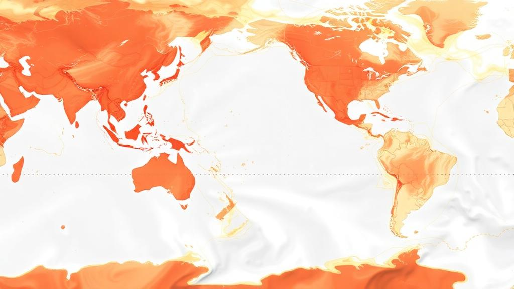
Researchers at the University of California, Santa Barbara, have developed an open-source R package called oceandatr that retrieves and organizes spatial ocean datasets for analysis and mapping. The tool can access global information on seafloor depth, seamount locations and sea-surface temperature, while allowing users to prepare data with a single command. Its development followed work with the Waitt Institute on marine spatial planning in small island nations such as Vanuatu and Fiji.
Ocean studies often require information from several sources, including bathymetry, temperature and fishing activity. Those datasets can use different spatial formats and scales, requiring researchers to write code that combines and organizes them. The team converted frequently used programming scripts into ready-made functions within oceandatr, a package developed in R, a widely used programming language for data analysis. According to Jason Flower, a project scientist at UC Santa Barbara’s Environmental Markets Lab, the goal is to help users obtain geospatial ocean data quickly and in the format they need.
The peer-reviewed software paper, published in Ecology and Evolution, describes two applications. In one, the researchers used ocean data to guide planning for marine protected areas. In the other, they used data to model and map where fishing activity was likely to occur. These examples illustrate only part of the package’s range: co-author Echelle Burns said oceandatr could be used in any marine-science project requiring spatial data. The paper was not designed to answer one specific research question, Burns said, but to support scientists who repeatedly performed the same data-pulling and organizing workflows.
One central feature is the standardization of data obtained from different sources. The bathymetry data accessed by oceandatr has a resolution of 15 arc seconds, a little less than 0.25 degree, while fishing-effort data is available at either 0.01 degree or 0.1 degree, depending on user preference. The package brings these differing formats into a consistent structure behind the scenes, allowing researchers to focus on analysis. Although the tool can access global datasets, it can also support work in smaller areas, including individual islands and coastal regions. Users can supply their own datasets, and oceandatr will save them at the appropriate spatial scale.
The developers describe oceandatr as an evolving tool rather than a finished product. Planned additions include daily sea-surface-temperature data alongside the average temperature information already available. Flower is also working to improve the package’s speed and efficiency for researchers using older or slower computers. The software is freely available through GitHub, and Burns said oceandatr is intended to remain a “living package” that is updated and refined as R packages and marine-data workflows continue to evolve.
Subject of Research: An open-source R package for retrieving and standardizing spatial ocean datasets
Article Title: A new tool makes mapping the ocean easier
Article References: A new tool makes mapping the ocean easier. Original publication (Bibliographic details unavailable.)
Image Credits: AI Generated
DOI: Not provided
Keywords: oceandatr, ocean mapping, R package, open-source software, geospatial data, bathymetry, sea-surface temperature, fishing activity, marine spatial planning, UC Santa Barbara, tool, makes
Cite Scienmag News
Violet Maxwell. (October 19, 2026). Open-source R package streamlines spatial ocean data mapping. Scienmag. https://scienmag.com/open-source-r-package-streamlines-spatial-ocean-data-mapping/
Violet Maxwell. "Open-source R package streamlines spatial ocean data mapping." Scienmag, 19 October 2026, https://scienmag.com/open-source-r-package-streamlines-spatial-ocean-data-mapping/. Accessed 19 October 2026.
Violet Maxwell. "Open-source R package streamlines spatial ocean data mapping." Scienmag. October 19, 2026. https://scienmag.com/open-source-r-package-streamlines-spatial-ocean-data-mapping/


