


Sentinel Satellites Track Arid Groundwater Levels Through Surface Pond Reflectance
Researchers in Egypt have developed a remote sensing method that estimates groundwater level fluctuations in arid-zone observation wells by tracking ...
Researchers in Egypt have developed a remote sensing method that estimates groundwater level fluctuations in arid-zone observation wells by tracking ...

Seafloor mapping in Baffin Bay has revealed the imprint of a Last Glacial Maximum ice shelf up to 150,000 square ...

A new satellite-based catalog identifies 67,374 seamounts worldwide, 55 percent more than the 2023 Scripps inventory.
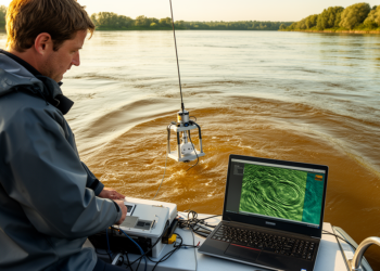
Bedform Finder, a new open-source MATLAB application, automates the identification and measurement of river sand dunes across large multibeam bathymetric ...
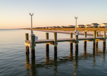
Dynamical downscaling of a global ocean model enhances simulated US East Coast coastal sea level variability by a factor of ...
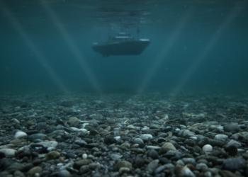
Object-based sample augmentation on multibeam echo-sounder data raised rare gravel classification F1-scores on the East Sea shelf from 0.036 to ...
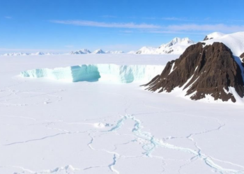
A geomorphic reconstruction indicates that an ice shelf spanning about 150,000 square kilometres of Baffin Bay stabilized three adjacent ice ...
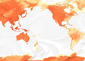
The open-source R package oceandatr retrieves and standardizes spatial ocean datasets for preparation, analysis and mapping.
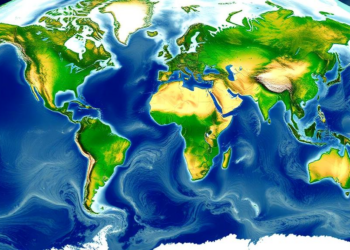
A new satellite altimetry and modeling framework delivers global estimates of river discharge and mean depth at more than 26,000 ...
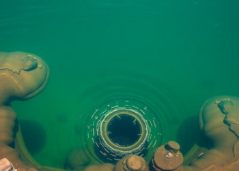
A comparative study of Taiwan's Mingde and Shihmen reservoirs shows machine learning models forecast monthly storage with high skill but ...


Embark on a thrilling journey of discovery with Scienmag.com—your ultimate source for cutting-edge breakthroughs. Immerse yourself in a world where curiosity knows no limits and tomorrow’s possibilities become today’s reality!