

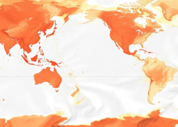
Open-source R package streamlines spatial ocean data mapping
The open-source R package oceandatr retrieves and standardizes spatial ocean datasets for preparation, analysis and mapping.
The open-source R package oceandatr retrieves and standardizes spatial ocean datasets for preparation, analysis and mapping.

A collaboration between an Italian art high school and CNR researchers shows how satellite imagery and environmental data can be ...
A new PLOS Ecosystems analysis of 343 datasets finds that nearly a third carry no licence information, legally blocking efforts ...
An open-source QGIS plugin called GEDIMetrics now automates the discovery, filtering, and fusion of NASA's GEDI spaceborne LiDAR products, making ...
A scoping review of 129 studies finds that One Health modelling for agri-food systems is methodologically ambitious but institutionally narrow, ...
A new commentary highlights how linking public GIS datasets to cohort data brings standardized, place-based environmental exposures into exposome-wide association ...
Researchers have combined particle swarm optimization with the R-tree spatial index, cutting query response times by up to 35.7 percent ...

Embark on a thrilling journey of discovery with Scienmag.com—your ultimate source for cutting-edge breakthroughs. Immerse yourself in a world where curiosity knows no limits and tomorrow’s possibilities become today’s reality!