


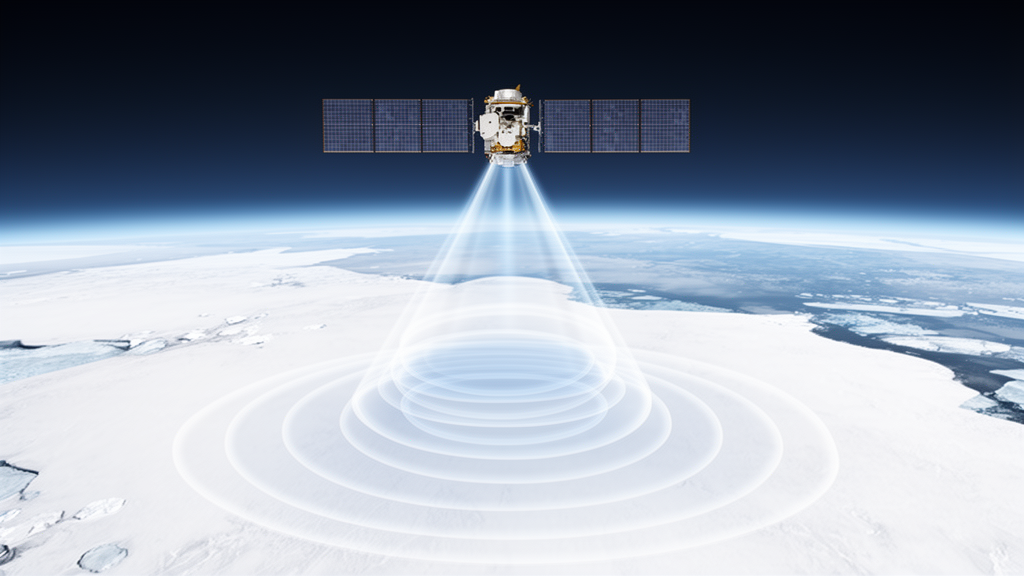
Satellites that bounce radar pulses off snow and ice are among humanity’s most important eyes on the frozen planet. They track the thinning of ice sheets, measure the thickness of sea ice, and monitor frozen lakes across the polar regions. Yet turning the raw radar echoes returning from these surfaces into trustworthy numbers has always been a stubbornly difficult problem, because radar waves do not simply bounce off the top of the snow. They penetrate, scatter, and reflect from buried layers in ways that depend on grain size, density, temperature, and roughness. A team led by Ghislain Picard of the University of Grenoble Alpes has now unveiled a major upgrade to an open-source modelling framework that promises to make sense of these echoes in unprecedented physical detail.
The tool is the Snow Microwave Radiative Transfer model, known as SMRT, which has been developed and refined by the snow remote-sensing community since 2015. Originally built to simulate passive microwave emission from snow, SMRT evolved into a general-purpose framework capable of handling a wide range of cryospheric environments and sensors. It already included a module for conventional low-resolution-mode altimetry, the older style of radar altimetry in which the satellite illuminates a broad, pulse-limited footprint. What it lacked was support for the delay-Doppler, or synthetic aperture radar, processing mode that most modern sensors, including CryoSat-2 and Sentinel-3, actually use. The new version, SMRT 1.7, fills that gap with a dedicated SAR altimetry module described in the journal Geoscientific Model Development.
The significance of the delay-Doppler technique lies in how it reshapes the radar echo. Rather than letting the pulse spread across a wide oval footprint, the satellite exploits the Doppler shift of the returning signal to synthetically focus the beam along its flight direction, shrinking the illuminated strip to roughly 300 metres in the along-track direction. This improves the precision of elevation measurements and reduces the blurring effect of sloped or rugged terrain. But the focusing comes at a price: the resulting waveform has a distinctly different shape from the classic ocean-altimetry curve described by Brown’s famous 1977 model, and interpreting it over snow and ice demands purpose-built physics.
Picard and his colleagues, working with partners in Canada, Norway, Italy, and France, took a deliberately modular approach. Their key insight is that the echo can be decomposed into two nearly independent pieces that are later combined. The first piece describes the vertical journey of the wave into the snowpack, capturing the echoes produced by the surface, by internal interfaces between layers, and by volume scattering within the snow itself. The second piece describes the horizontal spreading of the spherical radar wave over the curved Earth and the filtering imposed by the SAR processing. The first component already existed in SMRT; the second required the team to survey the scientific literature and implement not one but eight different delay-Doppler formulations, published between 2004 and 2019 by groups including Wingham and colleagues, Halimi and colleagues, Ray and colleagues, Boy and colleagues, Buchhaupt and colleagues, Dinardo and colleagues, and Landy and colleagues.
Why eight? Because, as the team’s careful review makes clear, there is no single best model. The formulations differ in how they represent surface topography, whether they treat the terrain statistically as a probability distribution of heights or deterministically as a digital elevation model, how they approximate the antenna pattern and the compressed pulse shape, and how they balance analytical elegance against computational speed. Some models, such as those of Dinardo and Buchhaupt, are extremely fast and well suited to physical retracking algorithms that fit observed waveforms in near real time. Others, such as the facet-based model of Landy, can ingest a real digital elevation model and capture the electromagnetic bias caused by skewed slope distributions, but at a far greater computational cost. By bundling all eight into a single plug-and-play framework, SMRT lets researchers compare them directly and pick the right tool for the job.
The technical machinery works in three steps. First, existing SMRT modules compute the backscatter of every layer and interface, drawing on theories such as the Improved Born Approximation for volume scattering and the Geometrical Optics approximation for rough surfaces. A new addition handles coherent, quasi-specular backscatter, which matters when the surface is smooth, as it often is over sea ice, and which depends in a subtle way on the altitude of the sensor. Second, the user-selected delay-Doppler model computes a delay-Doppler map for each interface and for the volume, applying a slant-range correction that migrates echoes arriving at off-nadir angles back to their correct range. Third, the pieces are combined into the final delay-Doppler map, which is summed along the Doppler dimension to yield the waveform a satellite would record.
Verification proceeded on several fronts. Under simplified conditions, all eight models produced waveforms that peaked within the same range gate, with only small differences in the leading and trailing edges attributable to numerical and theoretical approximations. The team’s implementation of the Landy model matched the original Matlab code to within one percent. And in a particularly elegant test, the researchers disabled the slant-range correction to produce pseudo-low-resolution-mode waveforms and compared them against SMRT’s independent LRM module, finding near-perfect agreement with the Wingham18 formulation. These cross-checks matter because a modelling error of even a few percent in the peak position could be misread as a real change in surface elevation.
The real-world test came on the Antarctic ice sheet. The team drove the model with in-situ measurements collected during four field campaigns, including density and specific surface area profiles from snow cores, temperature readings, and photogrammetric estimates of centimetre-scale surface roughness, supplemented by the Reference Elevation Model of Antarctica for large-scale terrain statistics. Comparing the simulations with Sentinel-3 Ku-band waveforms at eighteen sites, they found that the model reproduced the observed latitudinal gradient in waveform amplitude, with stronger echoes over the smooth, wind-scoured plateau near Dome C and weaker ones in the rougher coastal margins. When the poorly constrained radar-scale roughness was optimized at each site, the agreement improved markedly, confirming that surface roughness exerts first-order control on how much of the echo comes from the snow surface versus the snow volume beneath it.
The study is candid about its limits. The current implementation assumes the medium is homogeneous across a footprint spanning many kilometres, neglects multiple scattering between layers, and covers only unfocused SAR processing, leaving fully focused and interferometric modes for future work. Multiple scattering is likely to become significant at the Ka-band frequency of the upcoming Copernicus CRISTAL mission, where the team’s calculations suggest single scattering accounts for less than half the backscatter in the top metre of Antarctic snow. Even so, the payoff is substantial. With a verified, open-source framework that links detailed snow physics to realistic SAR waveforms, scientists can now attack long-standing problems such as the penetration bias that offsets ice-sheet elevation measurements, the validity of assuming that radar echoes from sea ice originate at the snow-ice interface, and the design of retrieval algorithms for snow depth on sea ice and thickness of lake ice. As new missions like CRISTAL and Sentinel-6 come online, the ability to simulate exactly what their radars should see, given what we know about the snow and ice below, may prove decisive for turning polar radar echoes into climate-grade measurements.
Subject of Research: Simulation of SAR radar altimeter echoes from snow and ice surfaces using the SMRT model
Article Title: Simulating SAR altimeter echoes from cryospheric surfaces with the Snow Microwave Radiative Transfer (SMRT) model version 1.7
Article References: Picard, G., Murfitt, J., Zakharova, E., Zeiger, P., Arnaud, L., Aublanc, J., Landy, J. C., Scagliola, M., & Duguay, C. (2026). Simulating SAR altimeter echoes from cryospheric surfaces with the Snow Microwave Radiative Transfer (SMRT) model version 1.7. Geoscientific Model Development, 19(18), 9103-9129. https://doi.org/10.5194/gmd-19-9103-2026
Image Credits: AI Generated
Keywords: radar altimetry, SMRT model, cryosphere, Antarctica, Sentinel-3, delay-Doppler, sea ice thickness, ice sheet elevation, snow microwave radiative transfer, waveform retracking, Ku-band radar, CRISTAL
Cite Scienmag News
Denise Maddox. (October 9, 2026). New Model Simulates Radar Echoes from Snow and Ice to Sharpen Satellite Altimetry. Scienmag. https://scienmag.com/new-model-simulates-radar-echoes-from-snow-and-ice-to-sharpen-satellite-altimetry/
Denise Maddox. "New Model Simulates Radar Echoes from Snow and Ice to Sharpen Satellite Altimetry." Scienmag, 9 October 2026, https://scienmag.com/new-model-simulates-radar-echoes-from-snow-and-ice-to-sharpen-satellite-altimetry/. Accessed 9 October 2026.
Denise Maddox. "New Model Simulates Radar Echoes from Snow and Ice to Sharpen Satellite Altimetry." Scienmag. October 9, 2026. https://scienmag.com/new-model-simulates-radar-echoes-from-snow-and-ice-to-sharpen-satellite-altimetry/


