


A groundbreaking study by researchers at Nanyang Technological University, Singapore (NTU Singapore), reveals that major earthquakes in Southeast Asia significantly impact regional sea-level projections by inducing long-term land subsidence. This discovery challenges current sea-level rise models, which primarily account for climate-driven factors like ice sheet melting and ocean warming, but often overlook geological processes beneath the Earth’s surface.
The research focuses on the Sumatran backarc region—an area situated behind Sumatra’s volcanic arc—where a hot and mechanically weak layer of the upper mantle, despite being solid rock, exhibits a capacity for slow, viscous flow. This weak layer deforms gradually after significant seismic events, leading to continued sinking of the overlying landmass for years, extending even decades post-earthquake.
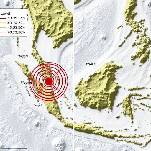
Utilizing over twenty years of geodetic data from locations across Singapore, Malaysia, and Thailand, the research team traced ongoing ground displacements linked to seismic events such as the 2004 Sumatra-Andaman earthquake and the 2012 Wharton Basin earthquakes. Remarkably, these land movements were detected more than 600 kilometers from the quake epicenters, implying that the asthenosphere—a partially molten region of the upper mantle beneath the crust—is mechanically weak enough to accommodate post-seismic deformation at vast distances.
Computer simulations calibrated against GPS-derived ground movement validated that only a rheologically weak upper mantle could produce the measured patterns of postseismic subsidence. This slow deformation process, referred to as postseismic viscoelastic relaxation, steadily depresses the land surface, contributing to localized relative sea level rise beyond what is predicted by oceanic and ice mass changes alone.
Prof. Emma Hill, Chair of the Asian School of the Environment and Interim Director of the Earth Observatory of Singapore, emphasizes that integrating such deep Earth processes into sea-level rise forecasts is crucial. “Recognizing the contribution of post-earthquake land subsidence offers a more comprehensive understanding of coastal flood risks, particularly for vulnerable low-lying urban centers in Southeast Asia,” she states.
Lead author Dr. Grace Ng highlights the persistence of postseismic deformation mechanisms, explaining that earthquakes do not merely cause instantaneous shaking but trigger a slow, prolonged adjustment deep within the Earth. This finding suggests that geophysical models must extend beyond immediate post-event analyses to incorporate multi-decadal land movement forecasts for accurate risk assessments.
By recognizing the dual influence of oceanic changes and tectonic land motion, this research provides vital insights for improving coastal infrastructure planning and flood defense strategies. Coastal communities in Southeast Asia could leverage these refined models to anticipate and mitigate the compounded effects of climate change and tectonic subsidence, ensuring resilient adaptation measures.
This study also opens avenues for reevaluating similar subduction zones worldwide, where dynamic post-earthquake mantle flow might play an underappreciated role in shaping regional relative sea-level trends. As sea-level rise continues to threaten global coastlines, the inclusion of such geological factors represents a critical step towards holistic and accurate environmental forecasting.
Cite Scienmag News
Violet Maxwell. (July 14, 2026). Major Earthquakes Impact Sea-Level Predictions in Southeast Asia, NTU Study Finds. Scienmag. https://scienmag.com/major-earthquakes-impact-sea-level-predictions-in-southeast-asia-ntu-study-finds/
Violet Maxwell. "Major Earthquakes Impact Sea-Level Predictions in Southeast Asia, NTU Study Finds." Scienmag, 14 July 2026, https://scienmag.com/major-earthquakes-impact-sea-level-predictions-in-southeast-asia-ntu-study-finds/. Accessed 5 September 2026.
Violet Maxwell. "Major Earthquakes Impact Sea-Level Predictions in Southeast Asia, NTU Study Finds." Scienmag. July 14, 2026. https://scienmag.com/major-earthquakes-impact-sea-level-predictions-in-southeast-asia-ntu-study-finds/


