


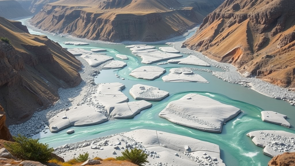
Deep in the western Himalaya, where the Pabbar River tumbles down from a glacial lake nearly 4,000 metres above sea level, a team of Indian geographers has produced something deceptively simple and quietly profound: the first complete numerical portrait of an entire river basin that, until now, science had largely overlooked. By measuring the geometry, drainage and relief of the Pabbar River Basin in Himachal Pradesh and Uttarakhand with satellite-derived elevation data, the researchers have turned a wild mountain landscape into a set of numbers that speak volumes about how the basin behaves, how it erodes, and where it is most likely to fail under stress.
The study, published in the journal Discover Geoscience, was led by Anju Dhanda and Rohit Mann of Kurukshetra University along with colleagues Anju Gupta and Deepak Saini. It represents the inaugural comprehensive morphometric analysis of the basin, a sub-catchment of the Tons River that ultimately feeds the Yamuna. Morphometry, the quantitative measurement of landforms, has been a cornerstone of geomorphology since Robert Horton’s pioneering work in the 1930s and 1940s, later refined by Arthur Strahler. Yet despite decades of such studies across India and around the world, no one had systematically quantified the topographic, linear and areal attributes of the Pabbar basin. The new work fills that gap and creates a baseline that planners, hydrologists and hazard managers can build upon.
To do so, the team relied on the Copernicus GLO-30 Digital Elevation Model, a freely available global elevation dataset at 30 metre resolution. The choice was deliberate. The researchers compared it with alternatives such as the ALOS PALSAR radar product, which advertises a finer 12.5 metre pixel spacing but is essentially an upsampled version of older 30 metre SRTM data, lacking genuine native high-resolution elevation. By contrast, COP-DEM offers better vertical accuracy, fewer data voids, and a more dependable representation of steep, rugged terrain, qualities that matter enormously when the landscape in question climbs from 934 metres to 5,237 metres above sea level within a single catchment.
Using ArcGIS hydrological tools, the researchers filled sinks in the elevation model, computed flow direction and flow accumulation for every pixel, and extracted the drainage network where flow accumulation exceeded a threshold of 300. They marked the confluence of the Pabbar with the Tons as the basin outlet, delineated the watershed, and ordered the streams using Strahler’s method. The result is a picture of a sixth-order basin covering 1,440.41 square kilometres, of which about 85 percent lies in Himachal Pradesh and the remainder in Uttarakhand, drained by 1,849 streams totalling roughly 1,760 kilometres of channel.
Those stream counts tell a story of their own. First-order headwater streams, the smallest threads in the network, dominate overwhelmingly, making up 78.58 percent of all channels. Stream numbers fall systematically with increasing order, from 1,453 first-order streams down to a single sixth-order trunk, exactly the geometric decline predicted by Horton’s law of stream numbers. The drainage pattern is dendritic, resembling the branching of a tree, which indicates that the underlying rocks are of broadly uniform resistance and that structural disruptions such as faults play only a moderate role. The mean bifurcation ratio, a measure of how streams split as order increases, came out at 4.31, sitting comfortably within the standard range of 3 to 5 that suggests the network’s shape is governed mainly by slope and gradient rather than geological interference.
The areal parameters reveal a basin with an unusual double character. Drainage density, the total stream length divided by basin area, is just 1.22 kilometres per square kilometre, a low value that points to permeable subsurface material, high infiltration and restrained surface runoff. Stream frequency is similarly low at 1.28 streams per square kilometre, and drainage texture is very coarse at 1.56 kilometres, implying a long lag time between rainfall and peak flow. Meanwhile, the form factor of 0.46, elongation ratio of 0.76 and circularity ratio of 0.45 together describe a moderately elongated basin. Such shapes moderate peak discharges because water takes longer to reach the outlet, which the authors note makes the basin less prone to catastrophic flash flooding than a compact, circular catchment would be.
But the relief parameters counterbalance that reassuring picture. The basin’s relative relief of 4,303 metres, a dissection index of 0.82 and a ruggedness index of 5.25 all signal intense vertical erosion and deep landscape dissection. Nearly 91 percent of the basin lies on slopes steeper than 15 degrees, with the moderately steep and steep classes covering 47.85 and 42.76 percent of the area respectively. Slope aspect adds another layer of nuance: east- and southeast-facing slopes, which receive more solar radiation, tend to be drier and less vegetated, while north- and northwest-facing slopes retain more moisture and support denser vegetation. Where steep gradients coincide with sun-exposed orientations, the study suggests, weathering, erosion potential and rapid hydrological responses are all amplified.
Perhaps the most evocative result is the hypsometric analysis, a technique that compares the area of a basin at different elevations to gauge its stage of erosional development. The Pabbar basin’s hypsometric integral is 0.49, and its curve is S-shaped, the classic signature of a basin in geomorphic equilibrium. In practical terms, roughly half of the original landmass has already been worn away, and constructive processes such as tectonic uplift are currently balanced by destructive ones such as river incision and slope denudation. The basin is neither a young, aggressively eroding landscape nor an ancient, worn-down remnant; it is a mature system caught in a dynamic standoff between the mountains rising and the rivers cutting them down.
That equilibrium is fragile, and the study is explicit about why it matters. A soil loss assessment using the European Soil Data Centre’s global erosion dataset showed that significant erosion concentrates in the western and southwestern parts of the basin and in isolated upper-elevation sections, where steep gradients and dense networks of small streams accelerate runoff. Comparable Himalayan catchments illustrate the stakes: sub-catchments of the nearby Suketi basin have recorded suspended sediment yields as high as 5,850 tonnes per square kilometre per year. The authors warn that intensified human pressures such as road construction, deforestation and intensive agriculture could push the Pabbar basin into a similarly vulnerable category for mass wasting and slope failure.
The practical payoff of the research lies in its ability to guide intervention. Because the analysis identifies gradient-controlled, structurally undisturbed but erosion-prone zones, it provides a spatial framework for prioritising check dams, contour bunding, terracing, agroforestry and afforestation where they will do the most good. The authors are candid about the limits of their approach, noting that static elevation models cannot capture the dynamics of a living mountain system. Future work, they argue, should combine multi-temporal elevation data with field measurements of sediment flux, erosion rates and discharge, and feed morphometric insights into predictive hydrological models. For now, though, the Pabbar basin has at last joined the ranks of the world’s quantitatively understood river systems, and the numbers suggest a landscape holding its breath, balanced between uplift and erosion, with its future increasingly in human hands.
Subject of Research: Quantitative morphometric and hypsometric analysis of the Pabbar River Basin in the Lesser Himalaya using digital elevation modelling
Article Title: Morphometric analysis of the Pabbar River Basin in Himachal Pradesh and Uttarakhand, India
Article References: Dhanda, A., Gupta, A., Mann, R., & Saini, D. (2026). Morphometric analysis of the Pabbar River Basin in Himachal Pradesh and Uttarakhand, India. Discover Geoscience, 4(1), Article 376. https://doi.org/10.1007/s44288-026-00751-8
Image Credits: AI Generated
DOI: 10.1007/s44288-026-00751-8
Keywords: morphometric analysis, Pabbar River Basin, Himalaya, digital elevation model, drainage density, hypsometric integral, geomorphology, watershed management, soil erosion, GIS, bifurcation ratio, Himachal Pradesh
Cite Scienmag News
Violet Maxwell. (September 23, 2026). Himalayan River Basin Reveals Its Hidden Life Through Numbers, Landmark First Survey Finds. Scienmag. https://scienmag.com/himalayan-river-basin-reveals-its-hidden-life-through-numbers-landmark-first-survey-finds/
Violet Maxwell. "Himalayan River Basin Reveals Its Hidden Life Through Numbers, Landmark First Survey Finds." Scienmag, 23 September 2026, https://scienmag.com/himalayan-river-basin-reveals-its-hidden-life-through-numbers-landmark-first-survey-finds/. Accessed 5 October 2026.
Violet Maxwell. "Himalayan River Basin Reveals Its Hidden Life Through Numbers, Landmark First Survey Finds." Scienmag. September 23, 2026. https://scienmag.com/himalayan-river-basin-reveals-its-hidden-life-through-numbers-landmark-first-survey-finds/


