


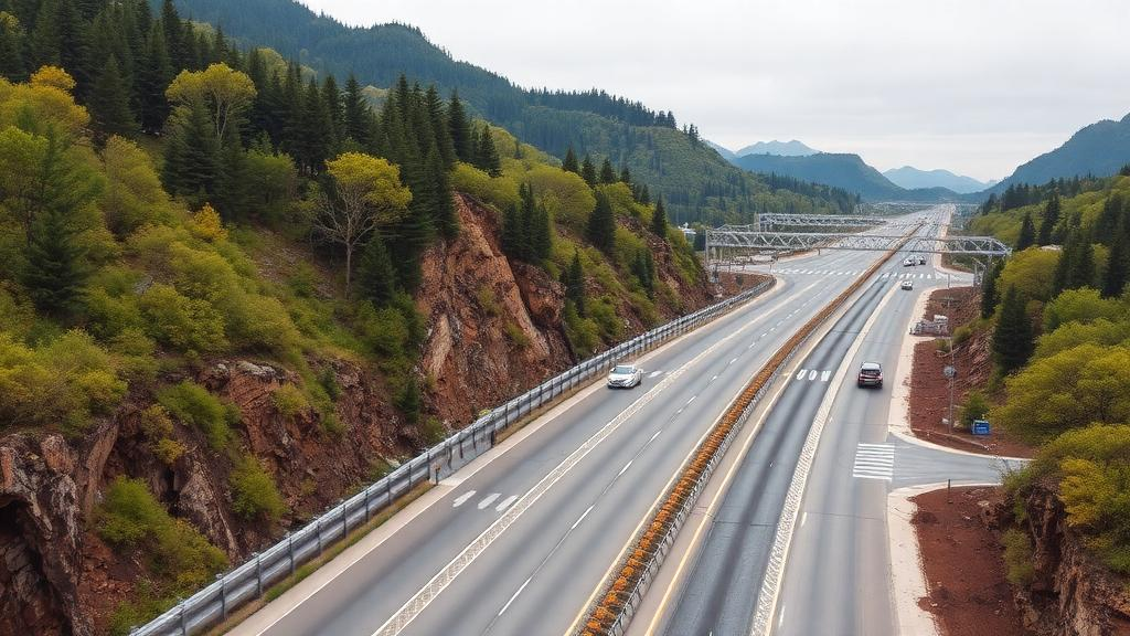
Every ecosystem on Earth depends on a subtle form of insurance that most people never notice. When a drought strikes one meadow, plants in a wetter valley nearby can compensate. When a pollution pulse stresses one stretch of river, fish communities upstream and downstream can pick up the slack. Ecologists call this spatial asynchrony, and it is one of the main reasons that nature remains productive and stable even as local conditions swing wildly. A new analysis published in Environmental and Sustainability Indicators suggests that the composition of the road network around a landscape, not just the sheer amount of road, may be associated with how well this insurance accumulates across space.
The study, led by Rong-Yu Xu and colleagues, tackled a question that has lingered in ecology for decades: under what spatial conditions do the stabilizing effects of biodiversity and asynchrony add up from local sites to whole regions? The theoretical scaffolding comes from the concept of spatial insurance, formalized by Michel Loreau and colleagues in 2003, which holds that asynchronous fluctuations among patches can dampen variability at larger scales. But whether human infrastructure interferes with that accumulation has been difficult to test, largely because stability itself is measured at multiple scales and its components are entangled.
The researchers leaned on a recent unifying framework from Liang and colleagues that links three scaling exponents: one describing how species richness grows with area, one describing how spatial asynchrony grows with area, and one describing how ecosystem stability grows with area. These are connected by a simple algebraic identity: the stability-scaling exponent equals the sum of the species-stability exponent and the asynchrony exponent. That identity allowed the team to ask not just whether roads relate to overall stability scaling, but which component, richness-driven local stability or spatial compensation, carries the signal.
To answer it, the team assembled 78 inferential units: 47 river-fish basins drawn from the RivFishTIME database and 31 plant sites from the US National Ecological Observatory Network. Each unit came with published exponents estimated from multi-year records, spanning 778 fish sampling locations and 564 plant plots. Against these biological summaries, the researchers layered global infrastructure data, including the GRIP road database, which classifies roads into highways, primary, secondary, tertiary and local categories. Their focal variable was the main-road share: the fraction of total road density contributed by highways and primary roads, standardized across multiple spatial windows around each sampling point.
The headline result was a negative association. In the core model, adjusted for species-richness scaling, data source, sampling design and climate covariates, a one-standard-deviation increase in the main-road share index corresponded to a standardized decrease of 0.240 in the asynchrony-scaling exponent. The 95 percent confidence interval, after propagating uncertainty in the original exponent estimates, stretched from −0.483 to −0.002, brushing zero at its upper limit. After a Holm correction across the three response-specific road tests, the p-value of 0.1464 fell short of conventional significance. In other words, the direction was consistent, but the statistical support was tentative.
What makes the finding intriguing is what happened when the team dissected the stability identity. The road coefficient was positive, though uncertain, for the species-stability component and negative for total stability scaling, meaning the two components partly offset each other in the algebraic sum. This decomposition clarifies how a road association with spatial asynchrony can coexist with an ambiguous relationship to overall stability. It also warns against a common interpretive trap: because the identity links the components mathematically, a high explained variance in a stability regression that includes asynchrony cannot independently confirm any causal mediation.
The researchers ran an unusually thorough battery of sensitivity checks. They tested 23 alternative definitions of road composition, varied the spatial windows, added topographic complexity and landscape heterogeneity as environmental controls, applied longitude-latitude and continent adjustments, filtered spatial eigenvectors, resampled by geographic block and by country, and omitted every single unit in turn. Negative estimates predominated across nearly all of these checks. Notably, in a joint model that included total road density, the composition term retained a negative coefficient while the density term did not, and composition explained more conditional variance, about 5.2 percent, than road amount, which explained less than 1 percent. That pattern hints that how a landscape’s roads are hierarchically arranged matters beyond simply how much pavement exists.
The authors are careful about mechanism, and rightly so. Road ecology documents a wide range of effects, from wildlife mortality and movement barriers to altered hydrology, pollution and access that accelerates land-use change. Genetic evidence from wood mice along three highways suggested that animals avoid the road surface itself rather than responding simply to traffic volume, illustrating that road presence and traffic exposure are not interchangeable exposures. The new study did not measure traffic, dispersal rates, disturbance regimes or community turnover, so candidate explanations, such as roads homogenizing environmental forcing or filtering mobile species, remain to be tested directly with process-level observations.
Several caveats temper the conclusions. Geographic coverage was heavily skewed: 74 of the 78 units came from Europe and North America, leaving tropical, arid and Global South regions barely represented. Data source was confounded with taxonomy, ecosystem and sampling design, and while NEON plant sites showed more negative road associations than the fish basins, the contrast itself was statistically uncertain. A single low-road, high-asynchrony site, NIWO, exerted the largest influence on the pooled coefficient; removing it shrank the estimate by more than a third and pushed the interval across zero. Temporal mismatches between the road layers and the biological observation windows also prevent any claim that road changes preceded ecological change.
An exploratory extension to freshwater barriers added nuance rather than clarity. Using dam locations from GeoDAR and river-network topology, the team computed an upstream dam-pressure score for each fish basin, weighted by Strahler stream order and distance decay. The association with asynchrony scaling was negative but uncertain, with a confidence interval spanning zero. Still, the broader message stands as a provocative hypothesis for the field: the architecture of human infrastructure, not merely its quantity, may shape how nature’s spatial insurance is assembled across landscapes. Confirming that will require dated road records, long-term biological monitoring in under-sampled regions, and studies that directly measure the movement and disturbance processes that roads are suspected to disrupt. Until then, the humble highway map may deserve a second look, not just as a record of where people travel, but as a blueprint of how ecological stability is distributed across the living world.
Subject of Research: Associations between road-class composition and the spatial scaling of ecological asynchrony and ecosystem stability
Article Title: Road-class composition and the spatial scaling of ecological asynchrony
Article References: Xu, R.-Y., Fei, P.-S., Jia, B.-Y., & Du, B. (2026). Road-class composition and the spatial scaling of ecological asynchrony. Environmental and Sustainability Indicators, 32, Article 101556. https://doi.org/10.1016/j.indic.2026.101556
Image Credits: AI Generated
DOI: 10.1016/j.indic.2026.101556
Keywords: ecological asynchrony, spatial insurance, road ecology, ecosystem stability, biodiversity, scaling exponents, species-area relationship, freshwater fish, NEON, RivFishTIME, road density, metacommunity
Cite Scienmag News
Gavin Prescott. (October 13, 2026). Highways may quietly erode nature’s spatial safety net, study suggests. Scienmag. https://scienmag.com/highways-may-quietly-erode-natures-spatial-safety-net-study-suggests/
Gavin Prescott. "Highways may quietly erode nature’s spatial safety net, study suggests." Scienmag, 13 October 2026, https://scienmag.com/highways-may-quietly-erode-natures-spatial-safety-net-study-suggests/. Accessed 13 October 2026.
Gavin Prescott. "Highways may quietly erode nature’s spatial safety net, study suggests." Scienmag. October 13, 2026. https://scienmag.com/highways-may-quietly-erode-natures-spatial-safety-net-study-suggests/


