


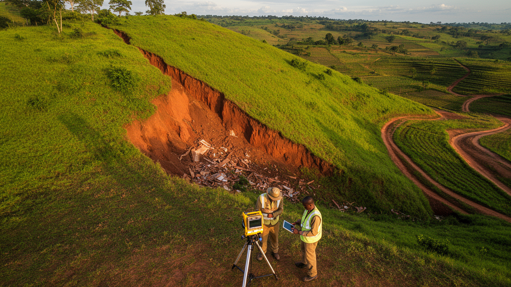
Deep beneath the rolling hills of the Okemesi–Ekiti area in southwestern Nigeria, the ground itself may hold the best clue to where the next landslide will strike. A new study published in the journal Discover Geoscience has shown that a mathematical framework borrowed from physics and engineering—Catastrophe Theory—can outperform the conventional expert-driven approach to landslide susceptibility mapping, and that the most important factor is not the steepness of the slope but the electrical resistance of the weathered rock below. The finding challenges decades of practice in hazard assessment and could reshape how engineers and planners evaluate landslide risk in structurally complex terrains around the world.
Landslides are among the most destructive natural hazards, particularly in mountainous and structurally complicated terrains where fractured crystalline rocks meet intense seasonal rainfall. The Okemesi–Ekiti area, which spans parts of Ekiti and Osun States and covers roughly 11.9 square kilometres, is a textbook example of this dangerous combination. The terrain is highly undulating, with elevations ranging from about 366 to 671 metres above sea level, and steep slopes concentrated in the eastern sector where recurrent landslides have been documented. The area is underlain by the Precambrian Basement Complex of southwestern Nigeria, a tectonically deformed assemblage of schists, quartzites and amphibolite schists crossed by the NNE–SSW-trending Ifewara Fault Zone, one of the major crustal-scale shear zones in the region. Annual rainfall between 1200 and 1900 millimetres, peaking in September, drives water into fractures and weathered zones, raising pore-water pressure and weakening the rock mass.
Accurate Landslide Susceptibility Mapping, or LSM, is essential for hazard mitigation and land-use planning because it evaluates the relative likelihood of landslide occurrence based on the interaction of geological, geomorphological, hydrological, climatic and anthropogenic conditioning factors. The conventional toolkit includes statistical models such as Frequency Ratio and Logistic Regression, machine-learning algorithms including Random Forest and Support Vector Machines, and multi-criteria decision-making techniques such as the Analytical Hierarchy Process, or AHP. Each approach has trade-offs. Statistical methods are computationally efficient but assume relatively simple relationships between factors and landslide occurrence. Machine-learning models capture complex nonlinear behaviour but require large representative datasets and often provide limited physical interpretability. AHP can be applied where landslide inventories are scarce, but its reliance on subjective pairwise comparisons introduces uncertainty into factor weighting and may affect reproducibility.
The research team, led by Kehinde Anthony Mogaji of the Federal University of Technology Akure together with colleagues from the University of Calgary and the University of Lagos, turned to Catastrophe Theory to sidestep the subjectivity problem. Catastrophe Theory is a nonlinear mathematical framework that describes abrupt transitions in dynamic systems arising from gradual changes in controlling variables. Originally developed by René Thom in the 1970s, it has been applied to groundwater vulnerability assessment, flood susceptibility mapping and environmental risk analysis. In this study, the researchers used catastrophe normalization functions integrated with fuzzy membership transformation to derive factor weights directly from the intrinsic characteristics of the conditioning factors rather than from expert judgement. The number of control variables associated with each evaluation node determines which catastrophe sub-model applies: the fold, cusp, swallowtail, butterfly or wigwam model, each with its own normalization exponent derived from the canonical catastrophe potential functions.
What makes the study genuinely novel is the integration of subsurface geophysical information with conventional surface-derived variables. The team compiled nine landslide conditioning factors: slope, elevation, lithology, rainfall, lineament density, drainage density, transverse resistance, coefficient of anisotropy and bedrock topography. The first six were derived from standard sources—a digital elevation model from the Shuttle Radar Topographic Mission, thirty-eight years of ERA-Interim rainfall records, digitized drainage networks, geological maps adapted from previous mapping, and lineaments interpreted from high-resolution aeromagnetic data acquired with cesium vapor magnetometers and gridded at 50-metre resolution. The last three were computed from interpreted Vertical Electrical Sounding data, which revealed five principal subsurface lithological units: topsoil, clay, lateritic sand or hardpan, partly weathered basement and fresh basement.
These geoelectrical parameters, known as Dar Zarrouk parameters, encode subsurface conditions that surface datasets alone cannot capture. Transverse resistance, computed as the product of layer resistivity and thickness, reflects the competence and continuity of subsurface materials; low values indicate highly weathered, fractured or water-saturated formations that are mechanically weak. The coefficient of anisotropy quantifies electrical heterogeneity within the subsurface and serves as an indirect indicator of fracture intensity and preferential groundwater flow paths. Bedrock topography describes the geometry of the bedrock surface beneath the weathered overburden, controlling overburden thickness, groundwater accumulation and subsurface drainage pathways. Together, these parameters provide complementary information on subsurface competence, groundwater dynamics and structural conditions that strongly influence pore-pressure evolution and ultimately slope stability.
To isolate the effect of the weighting methodology, the researchers developed two susceptibility models using identical conditioning factors, spatial datasets and GIS procedures—one based on Catastrophe Theory and one based on AHP. The contrast in factor rankings was striking. The AHP model, drawing on normalized pairwise comparisons from four decision makers with expertise in environmental sciences, assigned the highest weight to slope (0.31), followed by rainfall (0.21) and bedrock topography (0.15), reflecting the conventional understanding that terrain gradient is a primary geomorphological control on gravitational slope failure. The Catastrophe Theory model, by contrast, assigned the highest weight to transverse resistance (0.125), followed by rainfall (0.116) and bedrock topography (0.115), highlighting the influence of subsurface weathering, fracture development and groundwater conditions on slope instability within the crystalline Basement Complex.
The resulting susceptibility maps, classified into five categories from very low to very high, revealed distinct spatial patterns. In the CT-based map, the very low and low susceptibility classes occupy approximately 47.28 percent of the study area, concentrated mainly within the northwestern and southern sectors, while the high and very high classes cover roughly 28.87 percent, occurring predominantly within the northern, northeastern, central and southwestern portions. The AHP-based map showed a larger proportion of moderately to highly susceptible terrain, about 64.9 percent. Spatial comparison of the CT-derived map with the thematic layers indicates that the high and very high susceptibility zones generally coincide with areas characterized by steep slopes, irregular bedrock topography, high drainage density, moderate to high rainfall, low transverse resistance and the occurrence of schistose lithologies, which are known for their well-developed foliation and planes of mechanical weakness.
Validation using landslide inventory data obtained from the Ekiti State Ministry of Environment and Mineral Resources and Receiver Operating Characteristic analysis demonstrated the superiority of the Catastrophe Theory approach. The CT model achieved an Area Under the Curve value of 0.7364, corresponding to a prediction accuracy of 74 percent, outperforming the AHP model, which achieved an AUC of 0.6342, or 63 percent. According to the classification standards used in the field, both models are efficient for landslide susceptibility assessment, but the CT model provides better predictive capability. Notably, no documented landslide occurrence was observed in areas classified as low susceptibility on either map, and the locations of documented landslides coincide spatially with zones of moderate to very high susceptibility, confirming the appropriateness of both models for the study area.
The authors caution that the AUC values should be interpreted as indicating acceptable rather than excellent predictive performance, and they acknowledge several limitations: the aeromagnetically derived lineaments were not validated through detailed structural field mapping, model validation relied primarily on ROC-AUC analysis because an independent landslide inventory suitable for cross-validation was unavailable, and the relative influence of individual conditioning factors was not investigated through sensitivity analysis. Future investigations should incorporate additional validation metrics, uncertainty quantification and field verification. Nevertheless, the findings demonstrate that integrating subsurface geophysical information with Catastrophe Theory provides a promising complementary framework for landslide susceptibility assessment in structurally complex Basement Complex terrains. Rather than indicating the superiority of one method over the other, the contrasting rankings of the CT and AHP models provide complementary perspectives on landslide processes and underscore the value of looking beneath the surface—literally—when evaluating where the ground is most likely to give way. The results will be helpful to government agencies, town planners and engineers in slope management and land-use planning, and the CT-based model can subsequently be explored for landslide susceptibility mapping in similar geological terrains worldwide.
Subject of Research: Catastrophe theory and AHP modelling of landslide susceptibility using multi-source geodata in southwestern Nigeria
Article Title: Catastrophe theory and AHP modelling of landslide susceptibility using multi-source geodata in southwestern Nigeria
Article References: Catastrophe theory and AHP modelling of landslide susceptibility using multi-source geodata in southwestern Nigeria. (n.d.). https://doi.org/10.1007/s44288-026-00770-5
Image Credits: AI Generated
DOI: 10.1007/s44288-026-00770-5
Keywords: Catastrophe, theory, modelling, landslide, susceptibility, multi-source, geodata, southwestern, Nigeria, scientific research
Cite Scienmag News
Violet Maxwell. (October 15, 2026). Hidden Ground Data Beats Slope in New Landslide Risk Maps for Nigeria. Scienmag. https://scienmag.com/hidden-ground-data-beats-slope-in-new-landslide-risk-maps-for-nigeria/
Violet Maxwell. "Hidden Ground Data Beats Slope in New Landslide Risk Maps for Nigeria." Scienmag, 15 October 2026, https://scienmag.com/hidden-ground-data-beats-slope-in-new-landslide-risk-maps-for-nigeria/. Accessed 15 October 2026.
Violet Maxwell. "Hidden Ground Data Beats Slope in New Landslide Risk Maps for Nigeria." Scienmag. October 15, 2026. https://scienmag.com/hidden-ground-data-beats-slope-in-new-landslide-risk-maps-for-nigeria/


