


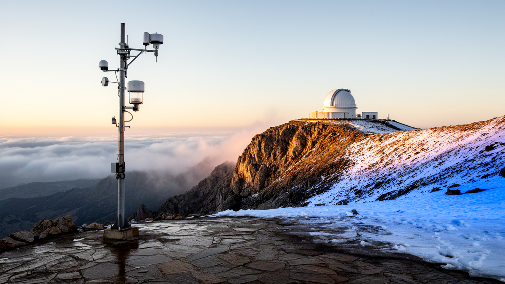
High in the Pindus Mountains of central Greece, at the Pertouli University Forest station some 1,180 meters above sea level, a quiet but consequential question has been answered with unusual precision: at exactly what air temperature does falling precipitation stop being rain and start being snow? A new twenty-year analysis of more than 20,000 direct observation intervals, published in Theoretical and Applied Climatology, delivers one of the most rigorously validated rain–snow partitioning functions ever assembled for a Mediterranean mountain site — and it quantifies just how much water is at stake when the atmosphere hovers in the ambiguous zone between the two phases.
The study, conducted by Stefanos P. Stefanidis of the Forest Research Institute of the Hellenic Agricultural Organization DIMITRA and Nikolaos D. Proutsos of the Institute of Mediterranean Forest Ecosystems, mined a remarkable archive: 20,817 scheduled observation intervals recorded at the Pertouli station between 2001 and 2020, with 2006 treated as a complete data gap. Rainfall and fresh snowfall were accumulated over intervals ending at 08:00, 14:00 and 20:00 local time, while 2-meter air temperature and relative humidity were read at each endpoint. This is precisely the kind of ground-truth data that Mediterranean mountains have long lacked, even though the phase of precipitation there determines whether water arrives as immediate liquid input to streams and soils, or as temporary snow storage that shapes the timing of spring runoff.
The headline number is a 50% snow-occurrence temperature of 0.34 °C, with a 95% confidence interval running from 0.10 to 0.60 °C. In other words, at Pertouli, precipitation is equally likely to fall as rain or snow when the air is just a third of a degree above freezing — slightly warmer than the 0 °C assumption embedded in many hydrological models. More revealing is the width of the transition itself: the zone in which the probability of snow slides from 90% down to 10% stretches from −1.10 °C to 1.78 °C. That nearly three-degree window is where forecasting becomes genuinely difficult, and where the study’s most striking diagnostic results emerge.
To test that difficulty quantitatively, the researchers set aside intervals in which rain and fresh snow occurred simultaneously — 112 of them — and refused to use them when fitting the occurrence models. Instead, these mixed-phase events were held out as an independent diagnostic of the transition zone. The result was emphatic: 97 of the 112 co-occurring intervals, or 86.6%, fell inside the transition zone defined by held-out years, compared with only 15.1% of single-phase intervals. The odds ratio of 36.3, with a confidence interval from 25.4 to 59.1, means that mixed precipitation was more than thirty-six times as likely to occur within the transition band as outside it — a powerful confirmation that the fitted probability function captures where the atmosphere genuinely straddles both phases.
Methodologically, the study is notable for its validation discipline. Logistic occurrence models and nominal precipitation-amount models were evaluated with leave-one-year-out cross-validation, in which each calendar year was excluded in turn and the model was tested against it, or with year-block bootstrap resampling. This approach respects the strong temporal structure of climate data, avoiding the optimistic bias that arises when models are validated on randomly shuffled observations from the same seasons they were trained on. The researchers also confronted a stubborn practical problem: converting fresh snow depth to snow-water equivalent requires an assumed density ratio, and the archive’s convention of 10:1 (ten centimeters of snow to one centimeter of water) is itself a modeling choice. Under that baseline, the amount-weighted 50% threshold came out at 0.17 °C; across fixed ratios from 5:1 to 20:1, it ranged from 0.55 down to −0.22 °C. Crucially, occurrence-based estimates were unchanged by these assumptions, which is why the authors treat the occurrence threshold as the more robust quantity.
Perhaps the most practically useful finding is the performance of the simplest possible rule. A fixed 1 °C air-temperature threshold — the kind of rule a field technician or a coarse model might apply — achieved a record-wide balanced accuracy of 0.951 across the entire twenty-year dataset, a figure that rivals far more elaborate schemes. But that headline skill conceals a weakness: accuracy deteriorated sharply inside the transition zone, where the atmosphere itself refuses to commit to a single phase. Outside that band, the 1 °C rule is nearly perfect; inside it, even the best near-surface meteorology struggles.
That struggle motivated the study’s second question: can humidity information rescue the ambiguous cases? On a response-qualified subset of relative humidity data, adding RH improved logistic temperature classification within the transition zone by 0.081 in balanced accuracy, with a confidence interval of 0.038 to 0.119 — a real but modest gain. The researchers also tested wet-bulb temperature estimated with the Stull formulation, a physically motivated alternative that combines temperature and humidity into a single variable often favored in snow-modeling literature. Neither humidity-enhanced approach outperformed the plain 1 °C temperature benchmark across the full record. The finding aligns with recent machine-learning work suggesting there is a fundamental limit to how accurately precipitation phase can be partitioned using near-surface meteorology alone, because the phase of a falling hydrometeor reflects conditions aloft as much as conditions at the gauge.
The hydrological stakes are quantified directly: about 25.1% of nominal November-to-April precipitation at Pertouli fell inside the observed transition zone under the 10:1 baseline. One quarter of the cold-season water budget, in other words, arrives in conditions where a one-degree shift in temperature — or a slightly different snow-density assumption — could flip it from snowpack to streamflow. For a Mediterranean mountain forest, where snow acts as a delayed reservoir feeding soils and streams well into spring, that fraction represents a substantial exposure to phase uncertainty. As regional warming pushes more winter precipitation events toward the warm edge of the transition zone, the practical difference between a 0.34 °C threshold and a 0 °C assumption becomes a matter of water-supply planning, not academic refinement.
The authors frame their results as a locally validated probability function and a quantified hydrological exposure for snow and forest-hydrology models, and the deliverables are concrete: a fitted logistic curve with confidence bounds, a documented sensitivity of amount-based thresholds to snow-density conventions, and a benchmark against which humidity-based schemes can be judged. The underlying meteorological data from the Pertouli station, operated by the Aristotle University Forest Administration and Management Fund, are freely available, allowing other researchers to replicate the analysis or extend it to neighboring sites. In a region where direct phase observations remain scarce and snow hydrology is chronically under-constrained, a single well-observed mountain station has now produced both a precise threshold and an honest measure of the uncertainty that surrounds it — a combination that modelers of Mediterranean water resources will find hard to ignore.
Subject of Research: Rain–snow partitioning thresholds and transition-zone uncertainty at a Mediterranean mountain forest station
Article Title: Observed rain–snow partitioning at a Mediterranean mountain forest station: temperature thresholds, humidity sensitivity, and transition-zone uncertainty
Article References: Observed rain–snow partitioning at a Mediterranean mountain forest station: temperature thresholds, humidity sensitivity, and transition-zone uncertainty. (n.d.). https://doi.org/10.1007/s00704-026-06658-1
Image Credits: AI Generated
DOI: 10.1007/s00704-026-06658-1
Keywords: rain-snow partitioning, precipitation phase, temperature threshold, Mediterranean mountains, snow hydrology, Pertouli, Greece, logistic model, transition zone, relative humidity, wet-bulb temperature, forest hydrology
Cite Scienmag News
Violet Maxwell. (October 15, 2026). Where Rain Turns to Snow: Two Decades of Observations Pin Down a Mediterranean Mountain’s Phase Threshold. Scienmag. https://scienmag.com/where-rain-turns-to-snow-two-decades-of-observations-pin-down-a-mediterranean-mountains-phase-threshold/
Violet Maxwell. "Where Rain Turns to Snow: Two Decades of Observations Pin Down a Mediterranean Mountain’s Phase Threshold." Scienmag, 15 October 2026, https://scienmag.com/where-rain-turns-to-snow-two-decades-of-observations-pin-down-a-mediterranean-mountains-phase-threshold/. Accessed 15 October 2026.
Violet Maxwell. "Where Rain Turns to Snow: Two Decades of Observations Pin Down a Mediterranean Mountain’s Phase Threshold." Scienmag. October 15, 2026. https://scienmag.com/where-rain-turns-to-snow-two-decades-of-observations-pin-down-a-mediterranean-mountains-phase-threshold/


