


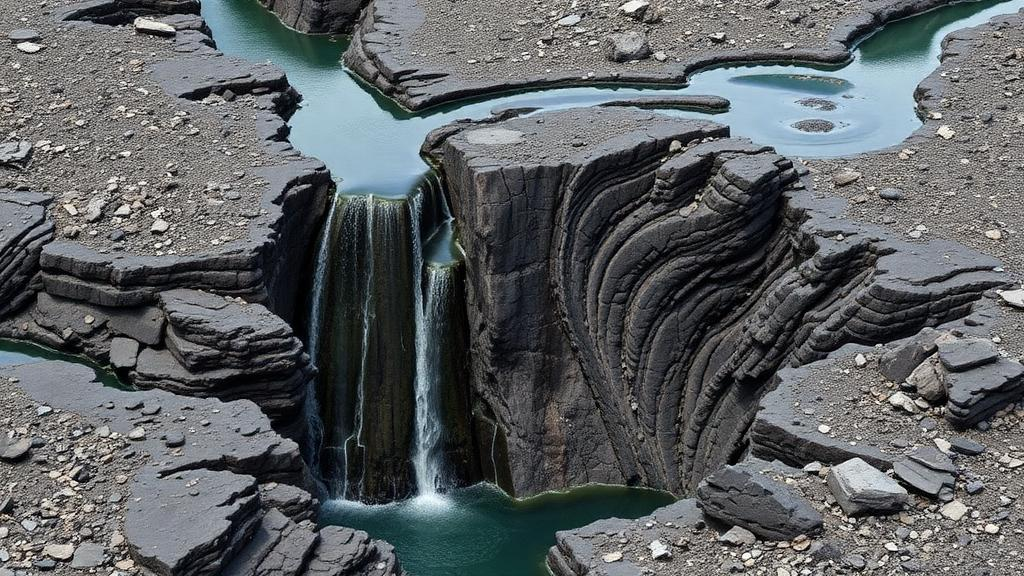
Beneath the volcanic highlands of Ethiopia, water is hiding in plain sight. It is not stored in sandy riverbeds or limestone caverns as it is in many parts of the world, but inside the cracks of ancient basalt flows — dark, dense rock that most people would assume is the last place a well should be drilled. A new study published in Discover Sustainability shows that the secret to finding groundwater in these fractured volcanic terrains lies not in the rock itself, but in the architecture of its fractures, and that a combination of two classic geophysical techniques can map that architecture with remarkable precision.
The research, led by Yenesew Asradew Nibret of Injibara University together with Habtamu Tesfaye Ayalew of Woldia University and Fekadu Debebe of Injibara University, tackles a problem that is becoming urgent across fast-growing urban centers in Ethiopia. Population explosion, agricultural expansion, and industrialization are placing mounting pressure on scarce water sources, and the volcanic aquifers that many communities depend on are notoriously difficult to characterize. Unlike sedimentary aquifers, where water saturates the pore spaces between grains, basalt aquifers hold their water in secondary features — fractures, joints, and vesicles left behind by escaping volcanic gases. Drill in the wrong spot and a borehole can pass through hundreds of meters of essentially impermeable rock.
To find the right spots, the team combined three independent lines of evidence: vertical electrical sounding, borehole lithology logging, and gravity surveys. Vertical electrical sounding is a technique in which an electric current is injected into the ground through electrodes and the resulting voltage is measured to determine how resistive the subsurface layers are. Because water-bearing fractured rock, clay, and solid basalt all conduct electricity differently, the resistivity profile acts as a kind of fingerprint of the underground geology. The researchers inverted their sounding data with root mean square errors ranging from just 1.65 to 4.27 percent, a level of fit that lends considerable confidence to the resulting models of the subsurface.
The inverted resistivity models revealed a heterogeneous volcanic succession made up of topsoil, clay, fractured basalt, and massive basalt. Each of these units plays a distinct role in the hydrogeological system. Fractured and vesicular basalt layers, with medium resistivity values between 45 and 239 ohm-meters, emerged as the major aquifer zones. Their secondary porosity — the network of cracks and gas bubbles that water can occupy — and their enhanced permeability make them the productive heart of the system. Clay layers, by contrast, showed very low resistivity between 6 and 20 ohm-meters; clays conduct electricity well because of their charged mineral surfaces and bound water, but they hold that water tightly and act as aquitards, impeding flow. Massive basalt, with resistivity exceeding 322 ohm-meters, is effectively impermeable and forms the basement through which little water moves at all.
Borehole lithology logs provided the ground truth for this electrical picture. Where wells had already been drilled, the physical rock samples confirmed that the porous scoriaceous and fractured basalt layers were exactly the zones producing groundwater. This agreement between the geophysical inversion and the direct observations from drilling is critical, because it demonstrates that resistivity contrasts in this terrain are not merely geological curiosities but reliable predictors of water yield. For water managers deciding where to spend scarce drilling budgets, that correlation is worth a great deal.
The second pillar of the study was gravity. Gravity surveys measure tiny variations in the strength of Earth’s gravitational pull at the surface, variations caused by differences in the density of the rocks below. Dense, unfractured massive basalt pulls slightly harder than broken, fractured, and weathered rock, which contains voids and lighter infill material. After correcting the raw measurements for elevation, latitude, and other effects to produce Complete Bouguer anomalies, the researchers found values ranging from −219 to −204 milligal across the study area. Residual gravity anomalies, which isolate the signal of shallow density contrasts, ranged from −7.09 to +7.11 milligal. The low anomalies corresponded to fractured zones with favorable conditions for water collection, while the high anomalies marked dense massive basalt with essentially no groundwater potential.
To sharpen the picture further, the team applied derivative gravity methods — mathematical transformations of the gravity field that emphasize shallow, sharp density boundaries. The First Vertical Derivative highlights the rate of change of gravity with depth, making the edges of density bodies pop out. The Total Horizontal Derivative does the same for lateral changes, tracing the outlines of buried structures. The Analytical Signal combines both and is particularly useful because its maxima tend to sit directly over the edges of causative bodies, independent of the direction of magnetization or the inclination of the field. Together, these techniques allowed the researchers to delineate weak zones and fractures — the very structures that increase groundwater permeability and channel water through otherwise impermeable volcanic rock.
The overarching conclusion of the study is deceptively simple but has profound implications: groundwater presence in this terrain depends on fracture intensity, connectivity, and aquifer thickness, not on lithology alone. Two adjacent boreholes drilled into chemically identical basalt can yield dramatically different amounts of water if one intersects a dense, connected fracture network and the other does not. This structural control means that the traditional approach of drilling where the geology looks promising on a map is insufficient. What is needed is a map of the fracture system itself — and that is precisely what the integrated geophysical approach delivers.
The methodological lesson extends well beyond the study area in Ethiopia’s volcanic highlands. Fractured basalt aquifers underlie vast swaths of the East African Rift, the Deccan Traps of India, the Columbia River Basalts of the United States, and Iceland, supplying water to hundreds of millions of people. In many of these regions, groundwater is the buffer against drought, and drilling a dry borehole is not just a financial loss but a setback for an entire community. A workflow that pairs electrical resistivity sounding, which senses the water and the clay, with gravity and its derivatives, which sense the density structure and the fractures, offers a way to reduce that risk substantially before a drill rig is ever mobilized.
There is also a sustainability dimension to the findings. Knowing where the productive fractured zones are, how thick they are, and how they connect is the first step toward managing them responsibly. An aquifer whose storage is confined to discrete fracture networks can be depleted quickly if pumping exceeds recharge, and contaminants can travel through those same fast pathways with little filtration. By identifying the aquifer zones and the impermeable boundaries around them, geophysical mapping provides the spatial framework needed for well placement, protection zoning, and long-term monitoring. As Ethiopian cities grow and climate variability intensifies, the ability to read the hidden fracture architecture of volcanic rock may prove to be one of the most valuable tools in the effort to secure water for the millions who live above it.
Subject of Research: Integrated geophysical mapping of fractured basalt aquifers for groundwater exploration in Ethiopia
Article Title: Integrated electrical resistivity and gravity geophysical investigation of structurally controlled fractured basalt aquifers for sustainable groundwater development
Article References: Nibret, Y. A., Ayalew, H. T., & Debebe, F. (2026). Integrated electrical resistivity and gravity geophysical investigation of structurally controlled fractured basalt aquifers for sustainable groundwater development. Discover Sustainability. https://doi.org/10.1007/s43621-026-04914-y
Image Credits: AI Generated
DOI: 10.1007/s43621-026-04914-y
Keywords: fractured basalt aquifer, vertical electrical sounding, gravity survey, structural control, groundwater exploration, sustainable groundwater development, hydrogeology, geophysics, Ethiopia, resistivity inversion, analytical signal, volcanic rocks
Cite Scienmag News
Violet Maxwell. (October 10, 2026). Hidden Fractures in Ethiopian Basalt Reveal Where Groundwater Hides. Scienmag. https://scienmag.com/hidden-fractures-in-ethiopian-basalt-reveal-where-groundwater-hides/
Violet Maxwell. "Hidden Fractures in Ethiopian Basalt Reveal Where Groundwater Hides." Scienmag, 10 October 2026, https://scienmag.com/hidden-fractures-in-ethiopian-basalt-reveal-where-groundwater-hides/. Accessed 10 October 2026.
Violet Maxwell. "Hidden Fractures in Ethiopian Basalt Reveal Where Groundwater Hides." Scienmag. October 10, 2026. https://scienmag.com/hidden-fractures-in-ethiopian-basalt-reveal-where-groundwater-hides/


