


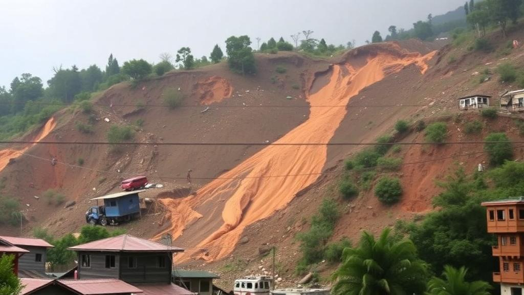
Every year, the steep hillsides of Nepal shed soil, rock, and debris in landslides that block roads, destroy homes, and claim lives across one of the most mountainous and densely populated countries on Earth. For decades, scientists and hazard planners have tried to predict where the next slope failure will occur, but their efforts have been hampered by a stubborn problem: most landslide datasets cover small areas and short windows of time, and they tend to focus on a single dramatic trigger such as a great earthquake or an intense monsoon rainstorm. A new study published in Communications Earth & Environment changes that picture by analysing a 22-year record of landslide occurrence across the whole of Nepal, offering one of the longest and most spatially extensive views ever assembled of how landslide hazard behaves through space and time.
The research, led by Erin L. Harvey of Durham University together with colleagues from institutions in the United Kingdom, the United States, Nepal, and New Zealand, set out to answer a deceptively simple question: when you watch a mountain landscape for more than two decades, what actually determines where landslides appear? The team compiled and analysed multi-temporal landslide inventories at national scale, allowing them to track not just where landslides occurred, but which sites failed repeatedly, which scars healed and vanished from view, and how individual triggering events stamped their signature onto the landscape. The work was supported by the UK Global Challenges Research Fund through the Sajag-Nepal project and the UKRI-DFID SHEAR programme, as well as by NASA’s Land-Cover and Land-Use Change grant.
The headline finding is striking: recurrent or persistent landslides dominate the national-scale pattern of landsliding in Nepal. At any given point in time, roughly 80 percent of all visible landslide areas are not fresh failures on previously stable slopes, but sites with a documented history of movement. In other words, the landslide hazard that mountain communities face on an everyday basis is overwhelmingly concentrated in places that have already failed. Slopes, it turns out, have long memories, and the scars of past events remain active, evolving features rather than one-off blemishes that quickly disappear.
This persistence has profound implications for how hazard maps are drawn and how mitigation budgets are spent. Traditional hazard assessment often treats each landslide as an isolated event, cataloguing fresh failures after a major earthquake or an exceptional rainfall episode and using them to model where future failures might occur. But if four out of every five visible landslides at any moment are reactivations or continuations of pre-existing features, then a hazard assessment that ignores the existing inventory of unstable slopes is systematically missing the majority of the present-day danger. The study’s authors argue that pre-existing landslides must be given far greater weight when assessing hazard, particularly in regions where the resources available for mapping and mitigation are limited.
The spatial statistics reinforce that message. Of the new landslide areas recorded in the dataset, only half occurred in locations more than 30 metres away from other landslides. That means a substantial fraction of fresh failures sprouted in the immediate vicinity of existing ones, in zones where slopes were already weakened, scarred, and stripped of stabilising vegetation. Landslides, in this sense, beget landslides. The edges of old scars, the debris deposits left by previous failures, and the disrupted drainage patterns around them all create conditions that favour subsequent movement nearby. For planners deciding where to route roads, site buildings, or prioritise slope stabilisation, the neighbourhood of a known landslide is demonstrably not safe ground.
Perhaps the most technically significant contribution of the study is its demonstration that individual triggering events leave distinctive, measurable footprints at the national scale. By computing metrics such as landslide density, persistence, and recurrence across the 22-year record, the researchers showed that the fingerprint of a major earthquake differs recognisably from that of rainfall-driven failure episodes. Earthquakes tend to trigger widespread, synchronous failure across broad regions in an instant, while rainfall-driven landsliding accumulates more gradually and follows different spatial patterns tied to hydrological conditions. These signatures, visible only because the record spans decades and the entire country, would be invisible in the short, local datasets that have dominated the field until now.
The methodological lesson is that multi-temporal landslide inventories are far more valuable than the sum of their parts. A single post-event inventory tells you where slopes failed once. A time series of inventories tells you which slopes keep failing, how long scars remain visible before vegetation and erosion erase them, how quickly hazard re-cumulates after a major event, and how the overall hazard landscape shifts between quiet years and catastrophic ones. Metrics such as persistence and recurrence, the authors argue, add significant value to such inventories and provide a practical basis for targeting mitigation efforts. In a country like Nepal, where thousands of kilometres of roads cross landslide-prone terrain and where maintenance budgets are chronically stretched, knowing which slopes are chronic offenders is exactly the information that makes limited resources go furthest.
The timing of this work matters. As mountain populations grow and infrastructure expands into increasingly marginal terrain, the number of people and assets exposed to landslide hazard is rising steeply across the Himalaya and other high mountain ranges worldwide. Climate change is intensifying rainfall extremes in many mountain regions, and seismic hazard in Nepal remains high more than a decade after the devastating 2015 Gorkha earthquake, which itself triggered tens of thousands of landslides. Understanding whether the hazard landscape after such an event decays back to normal, or whether it leaves a lasting legacy of weakened, repeatedly failing slopes, is central to realistic long-term risk management. The 22-year Nepali record suggests that legacy is both real and dominant.
There is also a broader scientific payoff. Geomorphologists have long debated how landslide activity couples to landscape evolution: whether landslides are stochastic, essentially random responses to individual storms and shakes, or whether they cluster in persistent hotspots controlled by geology, slope geometry, and hillslope material. The Nepal record comes down firmly on the side of persistence and clustering. The dominance of recurrent failures and the tight spatial association of new failures with old ones indicate that the landscape itself, not merely the timing of triggers, governs where hazard accumulates. That insight should improve the next generation of landslide susceptibility models, which can now be trained not only on where landslides have happened but on how long they last and how likely they are to return.
For the millions of people who live on and beneath Nepal’s unstable slopes, the practical takeaway is refreshingly concrete: the slopes that have already failed are the ones most likely to fail again, and the ground near them is hardly safer. Mapping, monitoring, and treating known landslide sites, rather than chasing only the aftermath of each new disaster, offers the most efficient path to reducing losses. The study’s authors hope that the metrics of density, persistence, and recurrence they developed will be adopted in other mountain countries, wherever long satellite archives and national inventories can be combined. Two decades of watching an entire mountain nation fail, heal, and fail again have shown that landslide hazard is not a series of isolated accidents but a dynamic, persistent, and mappable property of the landscape itself.
Subject of Research: Long-term national-scale landslide persistence and dynamic hazard in Nepal
Article Title: Long-term, national-scale records of landslide persistence and dynamic hazard in a mountain landscape
Article References: Harvey, E. L., Rosser, N. J., Kincey, M. E., Densmore, A. L., Chen, T.-H. K., Dhital, M. R., Seto, K. C., Basyal, G. K., Robinson, T. R., Shrestha, R., Oven, K. J., & Arrell, K. (2026). Long-term, national-scale records of landslide persistence and dynamic hazard in a mountain landscape. Communications Earth & Environment. https://doi.org/10.1038/s43247-026-04109-3
Image Credits: AI Generated
DOI: 10.1038/s43247-026-04109-3
Keywords: landslides, Nepal, hazard assessment, landslide persistence, recurrence, multi-temporal inventories, geomorphology, natural hazards, earthquake triggering, rainfall triggering, mountain landscapes, risk mitigation
Cite Scienmag News
Violet Maxwell. (October 10, 2026). Most Landslides in Nepal Are Repeat Offenders, 22-Year National Record Reveals. Scienmag. https://scienmag.com/most-landslides-in-nepal-are-repeat-offenders-22-year-national-record-reveals/
Violet Maxwell. "Most Landslides in Nepal Are Repeat Offenders, 22-Year National Record Reveals." Scienmag, 10 October 2026, https://scienmag.com/most-landslides-in-nepal-are-repeat-offenders-22-year-national-record-reveals/. Accessed 10 October 2026.
Violet Maxwell. "Most Landslides in Nepal Are Repeat Offenders, 22-Year National Record Reveals." Scienmag. October 10, 2026. https://scienmag.com/most-landslides-in-nepal-are-repeat-offenders-22-year-national-record-reveals/


