


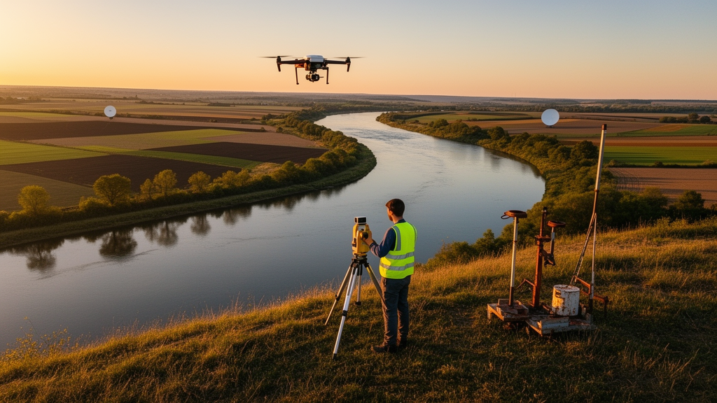
Geospatial methods have become central to managing land and water resources as climate change, urbanization and water scarcity intensify, but a new review finds the field is growing fast while leaving critical methodological gaps unfilled. The study, published in Discover Sustainability, combined a bibliometric analysis of 335 peer-reviewed articles from 2021 to 2026, retrieved through the Dimensions API, with a PRISMA-based systematic review of 59 studies drawn from Scopus, PubMed and Dimensions AI. Its aim was to map global research trends, compare the performance of dominant analytical frameworks and identify priorities for future work aligned with the United Nations Sustainable Development Goals.
The growth figures are striking. Publication output rose by 59.2 percent between 2021 and 2025, peaking at 1,735 articles in 2025. China and the United States dominated both output and international collaboration, but citation impact told a different story: Kenya, Ecuador and South Africa achieved disproportionately high citation impact, which the authors link to the research value of studies addressing acute resource stress in those regions.
Among applications, groundwater potential mapping was the most studied, accounting for 39 percent of the corpus. Yet the systematic review found that machine learning consistently outperformed AHP in within-study comparisons, with a mean ROC-AUC of 0.860 versus 0.748. A meta-regression added a further challenge to common assumptions.
Model accuracy was poorly predicted by the number of thematic input layers, with an R-squared of just 0.094. The review also assembled strong directional evidence for SDG monitoring. Ninety-two percent of comparative studies confirmed that urban and agricultural land expansion measurably reduces groundwater levels or water body extent.
This consistency across studies supports the use of geospatial indicators for tracking progress on SDG 6, clean water and sanitation, and SDG 15, life on land, where land-use change and water resource depletion are central concerns. Despite these advances, the authors identify persistent weaknesses in the literature. Many studies rely on static datasets and single-site case studies, limiting their generalizability and their usefulness for decision-makers.
Real-time monitoring, policy integration and large-scale validation receive comparatively little attention, leaving a gap between what the science can demonstrate in a study area and what governments need for ongoing resource management. To close these gaps, the review identifies three priorities as most critical for advancing policy-relevant and reproducible geospatial science: real-time monitoring, Explainable AI, and climate-resilient geospatial frameworks. For researchers, the message is that method selection should follow the comparative evidence rather than convention, and that accuracy gains are unlikely to come from simply adding more data layers.
The review's authors position these steps as the route toward geospatial science that is not only technically sophisticated but reproducible and directly usable in natural resource management aligned with the Sustainable Development Goals.
Subject of Research: Geospatial methods for SDG-aligned land and water resource management
Article Title: Geospatial methods for SDG aligned natural resource management through bibliometric and systematic review
Article References: Prakash, M. A., Ragunath, K. P., Pazhanivelan, S., Muthumanickam, D., Sivamurugan, A. P., Vanitha, G., Parapurath, F., Kanna, S. K., Sivakumar, D., & Veluswamy, K. (2026). Geospatial methods for SDG aligned natural resource management through bibliometric and systematic review. Discover Sustainability. https://doi.org/10.1007/s43621-026-04510-0
Image Credits: AI Generated
DOI: 10.1007/s43621-026-04510-0
Keywords: geospatial methods, Sustainable Development Goals, groundwater mapping, bibliometric analysis, systematic review, machine learning, Analytical Hierarchy Process, remote sensing, water scarcity, land use change, Explainable AI, real-time monitoring
Cite Scienmag News
Sloane Callahan. (October 27, 2026). Geospatial Science Races to Track Water and Land Under SDG Pressure. Scienmag. https://scienmag.com/geospatial-science-races-to-track-water-and-land-under-sdg-pressure/
Sloane Callahan. "Geospatial Science Races to Track Water and Land Under SDG Pressure." Scienmag, 27 October 2026, https://scienmag.com/geospatial-science-races-to-track-water-and-land-under-sdg-pressure/. Accessed 27 October 2026.
Sloane Callahan. "Geospatial Science Races to Track Water and Land Under SDG Pressure." Scienmag. October 27, 2026. https://scienmag.com/geospatial-science-races-to-track-water-and-land-under-sdg-pressure/


