


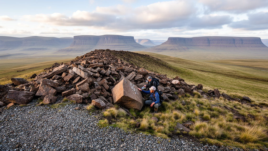
High in the mountains of eastern Lesotho, near the winding dirt track of Sani Pass, a long ridge of broken basalt blocks has been cited for two decades as rare evidence that glaciers once clung to the highest summits of Southern Africa during the Last Glacial Maximum. A new field and drone-based investigation of that ridge, published in the E&G Quaternary Science Journal, concludes that it was probably never touched by ice. Instead, the researchers argue, the landform is the product of rockfall, slow gravitational creep, frost weathering, and erosion along a basalt dike, a finding that forces a rethink of how the region’s Ice Age climate has been reconstructed.
The stakes are higher than they might first appear. The Lesotho highlands and the Drakensberg Escarpment form the water tower of Southern Africa, feeding the rivers on which millions of people depend, and understanding how this hydrological engine responded to past global warming and cooling is essential for predicting its future. Yet the region is remarkably poor in the archives climate scientists usually rely on. There are no high-altitude lake sediments, no peat bogs, and no speleothems in the Lesotho highlands suitable for reconstructing the climate of the Last Glacial Maximum, the period roughly 26,000 to 19,000 years ago when global ice sheets reached their greatest extent. If glacial landforms could be securely identified and dated, they would offer one of the few direct records of temperature and precipitation at the very top of the continent’s highest mountains.
The problem is that the evidence for those glaciers has always rested on a handful of contested landforms. Previous researchers described ridge-like features on south-facing slopes at six sites in the high Drakensberg of eastern Lesotho, interpreting them as moraines, the piles of debris dumped at the margins of small, short-lived glaciers. The most prominent of these sites lies on the Tsatsa-La-Mangaung mountain range near Sani Top, at elevations between roughly 3000 and 3120 meters. Earlier work dated soil organic matter from trenches cut into the ridge to the pre-Holocene, spanning nearly 7,000 years, and used the inferred glacier to model precipitation patterns and the position of shifting westerly wind belts during the Late Pleistocene.
A team from Freie Universität Berlin and the National University of Lesotho, led by Venise Bayer, Margot Böse, Kai Hartmann, Joalane Marunye, and Frank Riedel, revisited the site in March 2022. They combined classical geomorphological mapping and sedimentological prospection with high-resolution drone photogrammetry. A quadrocopter carrying a Hasselblad camera captured 37 georeferenced images, which were aligned using nearly 20,000 tie points to build a dense point cloud, a three-dimensional mesh, and a digital elevation model detailed enough to resolve cross sections of the ridge and its surroundings. Satellite imagery and the national geological map were then used to trace associated structures across neighboring mountain ranges.
The resulting data tell a story that does not involve ice. The ridge runs roughly 330 meters from NNE to SSW, descending from about 3120 to 3000 meters, perpendicular to the contour lines and following the slope gradient rather than crossing it the way a terminal moraine would. Its upper section is bent and sits on a southeast-facing slope, while its lower, broader section lies on a southwest-facing slope, widening to nearly 50 meters. Crucially, the base of the landform is not a loose pile of glacial debris but a rib of solid basalt bedrock, including a massive exposed rock wall about 2 meters high and 15 meters long. The blocks and clasts that give the ridge its moraine-like appearance are simply more abundant along this rib than on the surrounding slopes, and many of them show in situ weathering exactly where they lie.
Just as telling is what the team did not find. A glacier capable of building a moraine must carve a cirque or nival niche above it, a hollow in the slope where snow accumulates and ice grinds the bedrock. The high-resolution elevation model shows no such depression on either slope, only massive, bank-like bedrock outcrops and convex slope profiles. There is no evidence of glacial abrasion anywhere on the site; on the contrary, the researchers observed a strongly weathered micro-relief that would not have survived contact with flowing ice. The uniform contour lines, the sharp outcrops, and the absence of any terminal landform downslope all argue against even a small, short-lived glacier.
Instead, the German-Lesotho team identified a linear dike, an intrusion of more easily weathered rock, trending NNE to SSW through the site and extending for kilometers into neighboring ranges, including the Sekhokong site where another supposed moraine lies. The dike weathers into a channel up to 5 meters deep in places, capturing surface runoff and snowmelt, and it runs parallel to the ridge, accentuating its flanks through enhanced weathering and fluvial erosion. The team proposes that blocks weathered from the upper slopes accumulated against the bedrock rib, forming the bent upper section of the landform, while smaller supply areas fed the broader lower sections. Small-scale debris flows were likely involved as well: the slope above the landform angles at about 23 degrees, which is steep enough to mobilize debris flows, contrary to the earlier assumption that angles above 27 degrees were required.
Frost is the other great sculptor of the site. The highlands above roughly 2900 meters experience up to 200 days of ground frost per year, and winter rock-surface temperatures on south-facing slopes near Sani Top average around minus 5 degrees Celsius, plunging as low as minus 13.5 degrees in July, while north-facing slopes hover near plus 7 degrees. Intense insolation under clear winter skies drives daily freeze-thaw cycles, and satellite snow-cover maps show the temporary snow line running almost exactly along the 2900-meter contour, with snow persisting longest in depressions and in the dike channel itself. Meltwater from that snow intensifies frost cracking, shattering the basalt into the angular blocks that litter the slopes and the ridge, a periglacial rather than glacial process.
The reinterpretation has consequences well beyond a single ridge. Five other sites in eastern Lesotho, all above 3000 meters on south-facing slopes, have been described as glacial landforms, and several share suspicious similarities with Tsatsa-La-Mangaung: ridges oriented perpendicular to the contours, smooth contour lines above the features indicating no glacial hollow, and, at least at Sekhokong, the same dike structures visible on the geological map. The authors caution that whether those landforms can also be explained by gravitational and erosional processes will remain an open question until each site is re-investigated with high-resolution digital elevation models. But the burden of proof has shifted. If the best-studied candidate moraine in the region is not a moraine, then glacier-based reconstructions of Last Glacial Maximum precipitation and westerly wind positions in Southern Africa lose their anchor.
What remains is a genuinely puzzling climate question. Proxy records from across Southern Africa disagree sharply about the Last Glacial Maximum: mean annual temperature drops range from about 2 degrees to more than 10 degrees Celsius depending on the archive and location, and moisture availability was lower at some sites, higher at others. Downscaled climate simulations suggest temperatures 4 to 6 degrees lower along the eastern escarpment with year-round precipitation in Lesotho, while geological evidence shows perennial rivers and vast lakes, such as the roughly 37,000-square-kilometer paleolake in the Makgadikgadi Basin, in what is now the dry Kalahari. Whether those conditions were cold and wet enough to sustain glaciers on summits near 3,500 meters is precisely the question the disputed moraines were meant to answer. By removing the most persuasive piece of glacial evidence, the new study does not close the debate; it reopens it, demanding that the paleoclimate of Africa’s highest mountains be rebuilt from foundations that can actually bear the weight.
Subject of Research: Re-evaluation of a putative Last Glacial Maximum moraine in the Lesotho highlands of Southern Africa
Article Title: Quaternary glaciations in Southern Africa? A “moraine” in the Lesotho highland revisited
Article References: Quaternary glaciations in Southern Africa? A “moraine” in the Lesotho highland revisited. (n.d.). https://doi.org/10.5194/egqsj-74-219-2025
Image Credits: AI Generated
DOI: 10.5194/egqsj-74-219-2025
Keywords: Lesotho, Drakensberg, Last Glacial Maximum, moraines, geomorphology, paleoclimate, frost weathering, dolerite dikes, drone photogrammetry, periglacial processes, Southern Africa, Quaternary science
Cite Scienmag News
Violet Maxwell. (October 9, 2026). Famous ‘Glacier Evidence’ in Lesotho’s Highlands May Not Be a Moraine After All. Scienmag. https://scienmag.com/famous-glacier-evidence-in-lesothos-highlands-may-not-be-a-moraine-after-all/
Violet Maxwell. "Famous ‘Glacier Evidence’ in Lesotho’s Highlands May Not Be a Moraine After All." Scienmag, 9 October 2026, https://scienmag.com/famous-glacier-evidence-in-lesothos-highlands-may-not-be-a-moraine-after-all/. Accessed 9 October 2026.
Violet Maxwell. "Famous ‘Glacier Evidence’ in Lesotho’s Highlands May Not Be a Moraine After All." Scienmag. October 9, 2026. https://scienmag.com/famous-glacier-evidence-in-lesothos-highlands-may-not-be-a-moraine-after-all/


