


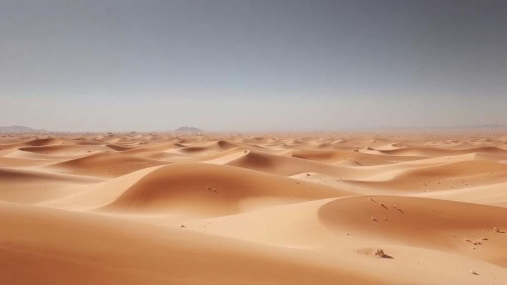
In one of the driest corners of the planet, a team of hydrogeologists has effectively given the Thar Desert an X-ray. Between 2017 and 2020, researchers from the Pakistan Council of Research in Water Resources and Freie Universität Berlin pushed electrical current into the ground at 576 locations across Tharparkar District in southeastern Pakistan, mapping the subsurface to a depth of 300 meters. Their findings, published in Hydrogeology Journal, are both a warning and a faint glimmer of hope for the roughly 1.5 million people who live on the world’s twentieth-largest desert and depend almost entirely on groundwater that is often too salty, too toxic, or simply too deep to reach.
The technique at the heart of the study, electrical resistivity surveying, exploits a simple physical principle: different materials conduct electricity differently. Using an ABEM Tetrameter SAS 4000 in a Schlumberger configuration, the team drove current into the ground through two outer electrodes and measured the resulting voltage between two inner ones. By progressively widening the electrode spacing, they probed ever deeper layers, and computer-aided inversion converted the apparent resistivity readings into true subsurface resistivities with errors below five percent. Because salty water conducts electricity far better than fresh water or dry sand, the resistivity signatures allowed the researchers to distinguish aquifers from dry rock and, crucially, to estimate how saline the water would be before anyone drilled a well.
Converting resistivity into water quality required a calibration step. The team applied a regression model originally developed for the Lower Indus Plain, which relates earth resistivity to groundwater electrical conductivity with a coefficient of determination of 0.78. Groundwater was then classified into four categories: fresh water below 1500 microsiemens per meter, slightly saline water between 1600 and 2500, saline water between 2600 and 4000, and highly saline water above 4000. To validate the geophysical picture, the researchers also analyzed 168 water samples from dug wells and 672 soil samples collected on a ten-kilometer grid, measuring electrical conductivity, arsenic, and fluoride in an ISO-17025 accredited laboratory.
The results paint a starkly fragmented hydrological landscape. Water tables lie between 2 and 15 meters across 26 percent of the district, between 16 and 30 meters across 23 percent, and plunge below 31 meters, in places deeper than 90 meters, across the remaining 51 percent. Shallow groundwater clusters in the southern Talukas of Diplo, Islamkot, Nagarparkar, and parts of Dahli, where low-lying topography, seepage from 36 small dams, irrigation return flows, and the seasonal flooding of the Rann of Kutch create localized recharge. In contrast, central Chachro and northern Mithi show water tables exceeding 60 meters, reflecting upland terrain, the absence of dams or perennial streams, and thick unsaturated zones that swallow the sparse monsoon rain before it can reach an aquifer.
Perhaps the most sobering finding is how quickly water quality collapses with depth. At depths of 25 meters or less, the unsaturated vadose zone dominates 59 percent of the area, saline to highly saline water occupies 31 percent, and only about 10 percent of the district holds water fit for drinking, roughly 3 percent fresh and 7 percent slightly saline, concentrated in the southern parts of Diplo, Islamkot, and Nagarparkar. By 26 to 50 meters, fresh water shrinks to a single percent of the territory while highly saline water expands to 51 percent. Between 51 and 75 meters, highly saline conditions blanket 76 percent of the district; at 76 to 100 meters, 82 percent. Below 100 meters, essentially the entire aquifer system, about 19,615 square kilometers or 99 percent of the area, is highly saline, with electrical conductivity across much of the region ranging from 4100 to 35,900 microsiemens per meter.
The geology explains much of this vertical salinity gradient. The Thar Desert sits atop the Thar Basin, a granitic basement shaped by pre-Jurassic rifting and buried beneath roughly 80-meter-high Quaternary sand dunes. The stratigraphy comprises a loose dune zone, a largely non-water-bearing oxidized zone of clays and silts, coal-bearing formations hosting confined aquifers, and the crystalline basement itself. Researchers attribute the region’s inherent salinity partly to ancient marine transgressions from the Arabian Sea, which left salt deposits embedded in the sedimentary record as the sea retreated. With annual rainfall of less than 200 millimeters, nearly all of it falling in a erratic monsoon between June and September, and no irrigation network to spread recharge as in the rest of the Indus Plain, there is simply too little fresh water entering the system to flush these salts out. High evapotranspiration and long residence times concentrate dissolved minerals further.
Salinity is not the only hazard. Laboratory analysis revealed that arsenic concentrations exceed the World Health Organization guideline of 10 micrograms per liter in 10 percent of the sampled wells, particularly around Chachro and parts of Mithi and Diplo. The arsenic is predominantly geogenic, released when reducing conditions dissolve iron oxyhydroxides in sedimentary aquifer materials, a process well documented across the Indus Basin. Fluoride poses an even broader problem: 28 percent of wells exceeded the WHO limit of 1.5 milligrams per liter, likely because alkaline groundwater with pH between 7.1 and 8.6, low calcium activity, and prolonged water-rock interaction, possibly including weathering of the fluoride-bearing granitic rocks near Nagarparkar, favor dissolution of fluoride minerals. Chronic exposure to these contaminants has been linked to cardiovascular disease, diabetes, cancer, and dental and skeletal fluorosis, making water quality monitoring a public health imperative, not merely an engineering question.
So what can be done in a landscape where 90 percent of the water is undrinkable and the deeper you drill, the worse it gets? The study’s authors argue for precision rather than brute force. The 10 percent of resources that are potable should be targeted for careful, sustainable abstraction at shallow depths, while deeper saline aquifers could be repurposed entirely. Salt-tolerant crops, grasses, shrubs, and trees could turn brackish water into productive saline agriculture, and related research in Mithi has already demonstrated that salt-resistant fish species thrive in water of 9000 microsiemens per meter, opening a path to saline aquaculture as an alternative livelihood. Meanwhile, Pakistan’s experience with managed aquifer recharge in Punjab and Balochistan shows that rainwater harvesting through injection wells can meaningfully replenish aquifers; during the 2021 monsoon, roughly 55 percent of captured precipitation reached groundwater through recharge wells, and filter pits cut turbidity from 80 to 6 nephelometric turbidity units.
The study is not without limitations, which the authors acknowledge candidly. The resistivity-to-conductivity conversion relies on a regression model calibrated for the Lower Indus Plain rather than the desert itself, so site-specific calibration could sharpen future maps. Soil sampling focused on texture rather than full chemistry, precluding a quantitative assessment of soil-groundwater salinity interactions, and the survey represents a temporal snapshot that cannot capture seasonal or long-term variability in recharge and quality. Future work should pair resistivity surveys with complementary geophysical methods, numerical groundwater modeling, and sustained monitoring to build a full hydrogeochemical conceptual model of the basin.
Even with those caveats, the significance of the work extends well beyond Tharparkar. As global water shortages are projected to affect 40 percent of the world’s population by 2030, and as groundwater already sustains some 2.5 billion people, the integration of high-resolution geophysics, hydrochemistry, and GIS mapping offers a replicable, cost-effective template for other data-scarce arid regions, from the Sahara to the Kalahari to the Sonoran Desert. For the communities of the Thar, the message is more immediate: the desert’s water is finite, fragmented, and increasingly salty with depth, but it is now, at last, mapped. Knowing precisely where the thin lenses of drinkable water lie, and where drilling deeper would only deliver brine laced with arsenic and fluoride, may be the most valuable resource this water-starved district has gained in decades.
Subject of Research: Groundwater occurrence and quality mapping using high-resolution electrical resistivity surveys in the hyper-arid Thar Desert, Pakistan
Article Title: Groundwater occurrence and quality in a hyper-arid desert: Insights from high-resolution electrical resistivity surveys in Tharparkar, Pakistan
Article References: Abdul Salam, H., Gul, N., Ashraf, M., Iqbal, N., Memon, S., & Taie Semiromi, M. (2026). Groundwater occurrence and quality in a hyper-arid desert: Insights from high-resolution electrical resistivity surveys in Tharparkar, Pakistan. Hydrogeology Journal. https://doi.org/10.1007/s10040-026-03168-2
Image Credits: AI Generated
DOI: 10.1007/s10040-026-03168-2
Keywords: groundwater, Thar Desert, electrical resistivity survey, hydrogeology, salinity, arsenic, fluoride, water scarcity, Pakistan, aquifer mapping, managed aquifer recharge, hyper-arid climate
Cite Scienmag News
Violet Maxwell. (September 30, 2026). Desert X-Rays Reveal Where Pakistan’s Thar Desert Hides Its Drinking Water. Scienmag. https://scienmag.com/desert-x-rays-reveal-where-pakistans-thar-desert-hides-its-drinking-water/
Violet Maxwell. "Desert X-Rays Reveal Where Pakistan’s Thar Desert Hides Its Drinking Water." Scienmag, 30 September 2026, https://scienmag.com/desert-x-rays-reveal-where-pakistans-thar-desert-hides-its-drinking-water/. Accessed 4 October 2026.
Violet Maxwell. "Desert X-Rays Reveal Where Pakistan’s Thar Desert Hides Its Drinking Water." Scienmag. September 30, 2026. https://scienmag.com/desert-x-rays-reveal-where-pakistans-thar-desert-hides-its-drinking-water/


