


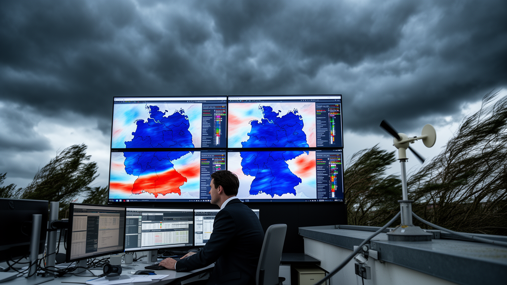
When a violent storm bears down on Germany, the difference between a well-prepared community and a devastated one often comes down to how accurately meteorologists can predict the fiercest gusts of wind. Now, a team at the University of Bonn has unveiled a statistical framework that promises to make those predictions sharper, more local, and more honest about their own uncertainty. In a study published in Advances in Statistical Climatology, Meteorology and Oceanography, Philipp Ertz and Petra Friederichs describe a spatial Bayesian hierarchical model that calibrates wind gust data from a high-resolution European reanalysis against ground observations, and then interpolates the results to places where no anemometer has ever stood.
The starting point is COSMO-REA6, a regional reanalysis for the European CORDEX domain developed by the Hans-Ertel-Centre for Weather Research together with the universities of Bonn and Cologne and the German Meteorological Service. Reanalyses blend numerical weather models with historical observations to produce a physically consistent record of past atmospheric conditions, and COSMO-REA6 does so on a grid of roughly six kilometers with forty vertical levels. But even at this resolution, the model’s deterministic gust diagnostic struggles with the chaotic, localized nature of wind gusts, which are produced by turbulent eddies deflecting fast-moving air parcels down to the surface or by convective downdrafts spreading horizontally when they strike the ground. These mechanisms, first formalized in diagnostics by researchers such as Brasseur and Nakamura, are deterministic by design and carry no measure of uncertainty, which is precisely what forecasters and emergency managers need most.
Ertz and Friederichs attack this problem with the tools of extreme value statistics, the branch of mathematics built specifically for rare, high-impact events. Because a gust measurement represents the highest three-second average wind speed within an hour, the theoretically appropriate model for daily maxima is the generalized extreme value distribution. After fitting single-station models and finding that the shape parameter showed no clear signal or leaned slightly negative, the authors deliberately fixed it at zero, yielding a Gumbel distribution. This choice avoids imposing an artificial upper bound on gust speeds, a property of the Weibull-type distribution that would be physically implausible for storm-driven extremes, while keeping parameter estimates stable.
The real innovation lies in how the model handles space. At the top level of the hierarchy, gust observations follow a Gumbel distribution whose location and scale parameters vary in both space and time. These parameters are expressed as linear regressions on predictor variables drawn from COSMO-REA6, chiefly the maximum ten-meter wind speed and the mean horizontal wind, plus a covariate capturing the difference between the station altitude and the model’s representation of that altitude. Crucially, the regression coefficients themselves are not treated as fixed numbers. Instead, each coefficient is a realization of a two-dimensional Gaussian random field with a constant mean and an isotropic Matérn covariance function, meaning that stations close to one another tend to share similar gust behavior. This latent-process structure allows information to be pooled across the entire network of 109 synoptic stations, stabilizing estimates at data-sparse locations and enabling kriging-based interpolation to any unobserved point in the domain.
Perhaps the most elegant trick in the paper is a correction to the distance metric itself. Mountain stations such as the Zugspitze or the Brocken can sit within a few kilometers of valley towns like Braunlage, yet their gust climates are worlds apart. Under a purely geographic distance measure, the model would wrongly treat these stations as near neighbors, contaminating the estimated spatial dependency structure for the whole region. The authors solve this by adding a scaled elevation difference to the great-circle distance between stations, effectively pushing mountain and valley locations apart in the covariance calculation. The scaling factor is treated as an unknown parameter with a prior centered on the ratio of buoyancy to Coriolis forces, a value of roughly one hundred derived from quasigeostrophic scale analysis. The result is that mountaintop observations can remain in the training data without distorting the picture elsewhere, and the estimated correlation lengths become larger and more stable.
Training such a model is no small computational feat. The authors used the Stan probabilistic programming language via its Python interface, running the No-U-Turn Sampler, an adaptive form of Hamiltonian Monte Carlo, for chains of 1500 iterations with 500 discarded as burn-in. The full spatial model required about an hour of sampling time, and the subsequent interpolation of parameter fields across a 121-by-161 grid cell domain over Germany took roughly three hours on an ordinary desktop computer, using an iterative scheme that simulates horizontal slices of the country one after another, each conditioned on its southern neighbor. The authors emphasize that the entire pipeline is reproducible on standard hardware and that the code and preprocessed data are openly available.
To find out whether all this statistical machinery actually pays off, the team subjected the model to a demanding verification regime. Data from odd-numbered years between 2001 and 2018 trained the model, while even-numbered years served for evaluation, and a leave-one-out cross-validation ensured that the station being predicted was always excluded from training. Performance was judged with proper scoring rules: the Brier score for probabilities of exceeding warning thresholds of 14, 18, 25, 29 and 33 meters per second, and the quantile score for predictive quantiles ranging from the 75th to the 99.9th percentile. Both scores were decomposed into miscalibration, resolution and uncertainty components using modern isotonic-regression-based estimators, allowing the authors to see not just whether the model was skillful but why.
The verdict is a qualified but meaningful success for the spatial approach. Against a spatially constant baseline model, which itself already achieved skill scores of 10 to 45 percent relative to local climatology, the spatial Bayesian model delivered median improvements of 2 to 5 percent for prediction quantiles, with the largest gains at the extreme upper quantiles that matter most for warnings. When the evaluation was restricted to the top quartile of forecast gust events, the spatial model’s advantage grew even more pronounced, and for the 99.9th percentile it nearly matched the skill of a model trained locally at each station, the theoretical ceiling of the approach. The score decomposition revealed that the gains came primarily from better resolution rather than better calibration, meaning the spatial model discriminates more effectively between windy and calm situations. For threshold exceedance probabilities the improvement was marginal, though the spatial model showed a slight edge at the highest 33 meters per second threshold.
The study is candid about its limits. At sheltered inland locations with weak mean winds, exemplified by Garmisch-Partenkirchen, even the locally trained model has no skill against climatology, because the reanalysis predictors simply lack explanatory power in complex, low-wind terrain. The spatial interpolation can also introduce bias where a station’s gust character differs sharply from its surroundings. Yet the overall message is compelling: by letting the data itself determine how gust behavior varies across the landscape, and by treating mountains as the statistical islands they truly are, the Bonn team has produced a proof of concept that spatially aware extreme value modeling can extract more reliable gust information from reanalysis archives. With extensions already envisioned for ensemble forecasts, diurnal and annual cycles, and land-sea contrasts, the framework could soon help weather services issue wind warnings that are not only more accurate but accompanied by the probabilities that decision-makers increasingly demand.
Subject of Research: Spatial Bayesian hierarchical extreme value post-processing of wind gusts from the COSMO-REA6 reanalysis over Germany
Article Title: Post-processing of wind gusts from COSMO-REA6 with a spatial Bayesian hierarchical extreme value model
Article References: Ertz, P., & Friederichs, P. (2025). Post-processing of wind gusts from COSMO-REA6 with a spatial Bayesian hierarchical extreme value model. Advances in Statistical Climatology, Meteorology and Oceanography, 11(2), 229-256. https://doi.org/10.5194/ascmo-11-229-2025
Image Credits: AI Generated
DOI: 10.5194/ascmo-11-229-2025
Keywords: wind gusts, extreme value statistics, Bayesian hierarchical model, COSMO-REA6, reanalysis, post-processing, spatial statistics, Gaussian random fields, Gumbel distribution, forecast verification, Germany, meteorology
Cite Scienmag News
Reid Dalton. (October 9, 2026). Bayesian Spatial Model Sharpens Extreme Wind Gust Forecasts Across Germany. Scienmag. https://scienmag.com/bayesian-spatial-model-sharpens-extreme-wind-gust-forecasts-across-germany/
Reid Dalton. "Bayesian Spatial Model Sharpens Extreme Wind Gust Forecasts Across Germany." Scienmag, 9 October 2026, https://scienmag.com/bayesian-spatial-model-sharpens-extreme-wind-gust-forecasts-across-germany/. Accessed 9 October 2026.
Reid Dalton. "Bayesian Spatial Model Sharpens Extreme Wind Gust Forecasts Across Germany." Scienmag. October 9, 2026. https://scienmag.com/bayesian-spatial-model-sharpens-extreme-wind-gust-forecasts-across-germany/


