


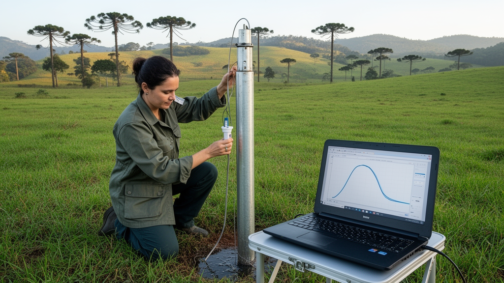
Groundwater beneath the volcanic uplands of southern Brazil moves on two very different clocks, according to a new year-long monitoring study published in Environmental Earth Sciences. By recording water levels every hour in seven wells across two sub-basins of the Taquari-Antas basin in Rio Grande do Sul, researchers Taison Anderson Bortolin, Pedro Antonio Roehe Reginato and Vania Elisabete Schneider documented a sharp split in behavior between shallow, soil-hosted aquifers and deeper fractured bedrock aquifers within the Serra Geral Aquifer System. The shallow wells jumped in response to rain, sometimes rising as much as 1.5 meters in a single day, while the deep wells barely flinched, with mean rise rates below 0.02 meters per day and only weak ties to individual storms.
The study is notable less for a single headline number than for the way it exposes how much methodological choice shapes recharge estimates. Using the Water Table Fluctuation method, which converts rises in the water table into recharge volumes through the storage parameter known as specific yield, the team computed apparent recharge under three different ways of extracting water-level change and three different sources of specific yield values. The resulting envelopes stretched from 4.17 percent to 22.35 percent of valid precipitation for the two tube wells tapping fractured rock, and from 13.20 percent to a seemingly impossible 108.85 percent for the five dug wells in the granular soil aquifer. Values above 100 percent, the authors stress, signal that the assumptions behind interpreting the result as vertical diffuse recharge were not satisfied, not that more water arrived than fell as rain.
The physical setting helps explain the split. The Serra Geral Formation, part of the Paraná Basin, consists of thick sequences of basaltic and acidic volcanic flows, with the studied sub-basins dominated by the Gramado, Caxias and Paranapanema facies. Overlying the fresh bedrock is a weathered basaltic mantle that forms a shallow, unconfined granular aquifer, typically averaging 1.7 meters of saturated thickness but reaching up to 14 meters in places. Rural communities rely on this shallow zone through dug wells and springs, while the deeper fractured aquifer, whose storage and flow depend on the aperture and connectivity of fractures, is structurally controlled by extensive lineaments oriented mainly to the northwest and northeast.
Between June 2017 and June 2018, the team equipped five dug wells with OnSet HOBO MX2001 loggers accurate to about half a centimeter and two tube wells with Heron Dipperlog sensors accurate to 0.1 percent of full scale. TW1, 192 meters deep with water entries at 16 and 50 meters, and TW2, 93 meters deep with a screened section between 14 and 18 meters, are static observation wells free of nearby pumping interference. Rainfall came from standard tipping-bucket gauges in the national hydrometeorological network. Data gaps caused by technical problems were handled conservatively: no interpolation across missing intervals, recharge totals computed only over valid observation periods, and recession curves truncated rather than extrapolated.
The hydrographs told two stories at a glance. Dug wells displayed the classic sawtooth morphology of porous media, with abrupt rises after storms and well-defined recessions, consistent with rapid hydraulic transmission through the shallow unsaturated zone. Tube wells produced smooth, damped curves in which many individual rainfall events left no visible mark at all. Cross-correlation between daily precipitation and daily water-level variation peaked at lags of zero to two days for the dug wells, with only DW4 peaking at zero lag, at a modest coefficient of 0.37. Peak correlations for DW5 and TW1 were weak at 0.24 and 0.21, and TW2 never exceeded 0.20, indicating a feeble direct response to discrete storms in the fractured system.
Autocorrelation analysis added a second dimension: the memory effect, conventionally defined as the lag at which a series’ autocorrelation falls below 0.2. Four of the five dug wells forgot their initial conditions within roughly seven to nine days. DW5, however, along with both tube wells, stayed above the threshold through the maximum evaluated lag of 16 days, revealing unusually persistent storage behavior. The authors attribute this persistence in the deep wells to possible semi-confined storage, well geometry, non-local recharge arriving from distant elevations, or fracture-network connectivity, while noting that deeper soil storage may explain DW5. Because the shallow and deep wells were not hydraulically paired, the records cannot distinguish among these mechanisms.
That caveat runs throughout the paper, and the authors are unusually candid about it. The tube wells in fractured volcanic rock may reflect changes in piezometric head rather than fluctuations of a true unconfined water table, potentially influenced by semi-confined storage or delayed yield from overlying saprolite. Consequently, recharge figures for TW1 and TW2 are treated strictly as exploratory, apparent-recharge sensitivity scenarios, and the analysis of the fractured domain centers on head-response dynamics such as attenuation, lag and memory rather than absolute volumes. The laboratory-derived specific yield values of 0.050 and 0.047, obtained from the overlying soil with pressure plate extractors, do not represent the physical storativity of the deep fractured rock matrix and were used only to probe the method’s mathematical sensitivity.
The specific-yield problem emerges as the dominant source of uncertainty in the whole exercise. Laboratory values, though site-specific, come from small volumetric cylinders that cannot capture macro-porosity, root channels or the heterogeneity of the full aquifer profile. Literature values offer established baselines but remain generic to the local weathering state. A third approach, an event-based water balance that back-calculates an apparent specific yield from precipitation, runoff and evapotranspiration over short 24-to-72-hour storm windows, was applied only to the dug wells, because the delayed, attenuated responses of the tube wells violate the method’s premise of near-instantaneous water-table response. Even for the shallow wells, the approach mixes a basin-scale runoff term with a point-scale level rise, and its assumptions about antecedent soil moisture were not independently verified. Sampling for laboratory analysis also failed at DW2 and DW3 due to rock fragments, forcing those wells to rely on literature and water-balance scenarios alone.
Extreme results illustrate why the authors refuse to average their scenarios into a single number. Under the Master Recession Curve approach combined with the water-balance specific yield, DW2 reached 108.85 percent and DW1 91.06 percent of precipitation, values the team interprets as likely reflecting focused recharge, lateral subsurface interflow accumulating in low-lying positions, well-bore storage effects, or violations of the method’s core assumptions during intense events. The MRC approach produced the highest estimates across all specific-yield scenarios because it incorporates projected recession behavior. Rather than chase false precision, the study presents recharge as a scenario envelope that transparently propagates uncertainty from storage-parameter selection, hydrograph processing, recession fitting and data gaps.
The broader lesson for water management is that shallow granular and deep fractured domains within the same aquifer system respond so differently that they should be assessed and managed separately. Comparisons with water-balance or baseflow-separation estimates must also account for differences in spatial scale, temporal resolution and storage representation. The authors call for nested piezometers to measure vertical hydraulic gradients, pumping tests to quantify storage coefficients, environmental tracers and isotopes to validate recharge pathways, continuous soil-moisture profiling and multi-year records to capture seasonal extremes. Until such paired infrastructure exists, the coexistence of fast, sawtooth responses in the soil mantle and slow, persistent, damped responses in the underlying fractured basalts of the Serra Geral Aquifer System stands as a site-based working hypothesis, one that high-frequency monitoring has now made visible and that future studies must quantitatively confirm.
Subject of Research: Comparative groundwater recharge dynamics in granular and fractured aquifers of the Serra Geral Aquifer System using water table fluctuation monitoring
Article Title: Comparative Analysis of Groundwater Recharge Dynamics in Granular (Soil) and Fractured Aquifers Using Water Level Fluctuation Monitoring
Article References: Bortolin, T. A., Reginato, P. A. R., & Schneider, V. E. (2026). Comparative Analysis of Groundwater Recharge Dynamics in Granular (Soil) and Fractured Aquifers Using Water Level Fluctuation Monitoring. Environmental Earth Sciences, 85(17), Article 442. https://doi.org/10.1007/s12665-026-13193-9
Image Credits: AI Generated
DOI: 10.1007/s12665-026-13193-9
Keywords: groundwater recharge, water table fluctuation method, fractured aquifer, granular aquifer, Serra Geral Aquifer System, specific yield, autocorrelation, cross-correlation, hydrogeology, Brazil, volcanic rocks, water resources management
Cite Scienmag News
Violet Maxwell. (October 27, 2026). Hourly Well Data Reveal Two Distinct Groundwater Recharge Rhythms in Southern Brazil. Scienmag. https://scienmag.com/hourly-well-data-reveal-two-distinct-groundwater-recharge-rhythms-in-southern-brazil/
Violet Maxwell. "Hourly Well Data Reveal Two Distinct Groundwater Recharge Rhythms in Southern Brazil." Scienmag, 27 October 2026, https://scienmag.com/hourly-well-data-reveal-two-distinct-groundwater-recharge-rhythms-in-southern-brazil/. Accessed 27 October 2026.
Violet Maxwell. "Hourly Well Data Reveal Two Distinct Groundwater Recharge Rhythms in Southern Brazil." Scienmag. October 27, 2026. https://scienmag.com/hourly-well-data-reveal-two-distinct-groundwater-recharge-rhythms-in-southern-brazil/


