


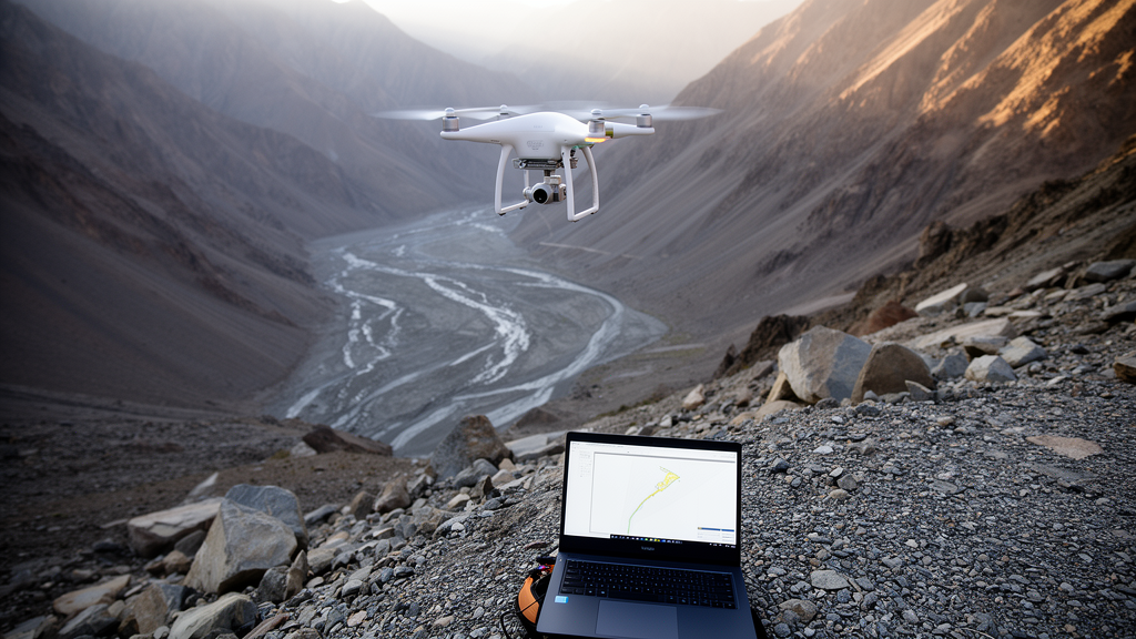
Researchers have developed a framework that combines drone-derived topography, hydrological modeling, and interpretable machine learning to classify flood-prone mountainous regions, applying it to 31 such areas in the Ili River Basin of Xinjiang, China. The study, published in Water Resources Management, addresses a persistent challenge in mountain hydrology: flood generation emerges from tightly coupled interactions among terrain, hydroclimate, and soil conditions that are difficult to disentangle where ground data are scarce. The team’s fieldwork was extensive, involving more than 610 person-days of surveys across remote and rugged terrain, and the topographic data were captured at ultra-high resolution of 0.2 meters from unmanned aerial vehicles.
Rather than relying on raw observations alone, the framework is process-informed: it uses model-derived hydrological states alongside terrain metrics as inputs to the classification. This means the machine learning algorithm does not simply find statistical patterns in raw measurements but works with quantities that represent the physical state of each catchment, such as simulated soil water content and runoff generation. The analysis identified three distinct classes of flood-prone mountainous regions, each reflecting a contrasting flood-generation regime.
Class A represents water-limited systems that are typically dry but highly sensitive to extreme rainfall events. Class B includes relatively wet basins with strong peak-flow responses and episodic flash-flood potential. Class C often comprises larger catchments with substantial topographic relief and strong runoff generation, reflected in greater runoff depths, though not necessarily higher peak discharges.
Across all three classes, soil water content, dryness index, evapotranspiration, and soil texture emerged as important predictors. The authors associate these variables with antecedent moisture conditions, the wetness state of a catchment before a storm, and with longer-term climatic constraints that shape how much water a landscape can absorb and release. A key contribution of the study is its use of interpretable machine learning, specifically SHAP analysis, which quantifies how much each predictor contributes to a classification decision.
The SHAP analysis revealed class-specific patterns in predictor contributions: runoff production and aridity exerted strong positive influences in Class A, while drainage area and soil texture were important for distinguishing Class C. Because the contributions of individual variables are made explicit, the classification remains tied to physically meaningful quantities rather than opaque model outputs.
The findings carry practical weight for hazard management in remote mountainous regions. Because the framework requires relatively limited observational data, relying instead on drone surveys and hydrological modeling, the authors describe it as a transferable basis for improving flood risk assessment and early warning in places where conventional gauge networks are sparse or absent.
The study also contributes to understanding of flood generation across hydroclimatic gradients. By showing that contrasting flood regimes can be separated using physically meaningful variables, the work indicates that classification schemes built on process understanding, rather than purely statistical clustering, can reflect how terrain, climate, and soils jointly shape flood behavior in mountain catchments.
Limitations remain inherent to the approach. The classification is an association-based diagnosis of flood-prone characteristics derived from modeled hydrological states and terrain metrics, not a direct record of observed flood events, and the results are specific to the conditions of the Ili River Basin. Even so, the combination of 0.2-meter UAV topography, hydrological modeling, and interpretable learning demonstrates a route to physically meaningful classification of flood-prone systems where data availability is limited.
Subject of Research: Process-informed classification of flood-prone mountainous regions using UAV topography and interpretable machine learning
Article Title: Process-Informed Classification of Flood-Prone Mountainous Regions Using UAV-Derived Topography and Interpretable Machine Learning
Article References: Zhong, Y., Jing, W., Zhao, L., Tong, Z., Liu, Q., Li, W., Hu, C., Hong, S., Xiang, D., Zhou, S., Qi, S., Dong, Q., Fu, X., Yang, L., & Wang, G. (2026). Process-Informed Classification of Flood-Prone Mountainous Regions Using UAV-Derived Topography and Interpretable Machine Learning. Water Resources Management, 40(14), Article 544. https://doi.org/10.1007/s11269-026-04913-8
Image Credits: AI Generated
DOI: 10.1007/s11269-026-04913-8
Keywords: flood risk, mountain hydrology, UAV topography, machine learning, SHAP interpretability, Ili River Basin, hydrological modeling, flash floods, Xinjiang, early warning, soil moisture, catchment classification
Cite Scienmag News
Violet Maxwell. (October 27, 2026). Drones and Interpretable AI Classify Flood-Prone Mountain Basins in Xinjiang. Scienmag. https://scienmag.com/drones-and-interpretable-ai-classify-flood-prone-mountain-basins-in-xinjiang/
Violet Maxwell. "Drones and Interpretable AI Classify Flood-Prone Mountain Basins in Xinjiang." Scienmag, 27 October 2026, https://scienmag.com/drones-and-interpretable-ai-classify-flood-prone-mountain-basins-in-xinjiang/. Accessed 27 October 2026.
Violet Maxwell. "Drones and Interpretable AI Classify Flood-Prone Mountain Basins in Xinjiang." Scienmag. October 27, 2026. https://scienmag.com/drones-and-interpretable-ai-classify-flood-prone-mountain-basins-in-xinjiang/


