


Soil moisture is one of those deceptively simple quantities that underpins nearly everything happening at the land surface: whether crops survive a dry spell, whether a river basin will flood after a storm, and how water and carbon cycle through ecosystems. Satellites can track it across the globe, but in heterogeneous, poorly instrumented landscapes the satellite signal often drifts far from what is actually happening in the ground. A new study in Environmental Earth Sciences tackles this problem head-on in southern Brazil, showing that a cleverly designed handful of field sensors, combined with machine learning, can dramatically sharpen one of the world’s most advanced satellite soil moisture products.
The research, led by Marcelo Lovato Brum together with Jingyi Huang and Alexandre Swarowsky, focused on the Vacacaí River Basin, an 11,177-square-kilometer watershed in Rio Grande do Sul State. The region is agriculturally vital but environmentally fragile, spanning the grasslands of the Pampa biome, extensive rice paddies in low-lying floodplains, and gently sloping terrain where elevation ranges from sea level to 516 meters. Like many basins in developing countries, it lacks dense monitoring infrastructure, which is precisely the kind of environment where coarse satellite products struggle most.
The satellite product at the heart of the study is SMAP, NASA’s Soil Moisture Active Passive mission, specifically its Level 4 surface and root-zone soil moisture product. SMAP measures L-band microwave emission sensitive to water in the top layers of soil, and the Level 4 product assimilates those brightness temperature observations into a land surface model to produce continuous global estimates at a 9-kilometer resolution. The catch is that at that scale, a single pixel blends rice paddies, pastures, croplands, and urban areas into one number. In the Vacacaí Basin, the researchers found the product systematically overestimated soil moisture, particularly during wetter months, because vast sheets of standing water in flooded rice fields alter the microwave signal in ways the assimilation system interprets as wetter soil.
To correct for such biases without a dense sensor network, the team turned to Conditioned Latin Hypercube Sampling, or cLHS, a statistical design technique that divides the range of each environmental variable into equally probable intervals and places samples so that every portion of the input space is represented. Using elevation, slope, aspect, hillshade, and the compound topographic index derived from 30-meter Shuttle Radar Topography Mission data, the method identified ten monitoring locations spanning the basin’s principal topographic gradients. The idea is elegant in its economy: rather than scattering sensors randomly and hoping for the best, each location is chosen to carry maximum information about the watershed’s environmental variability.
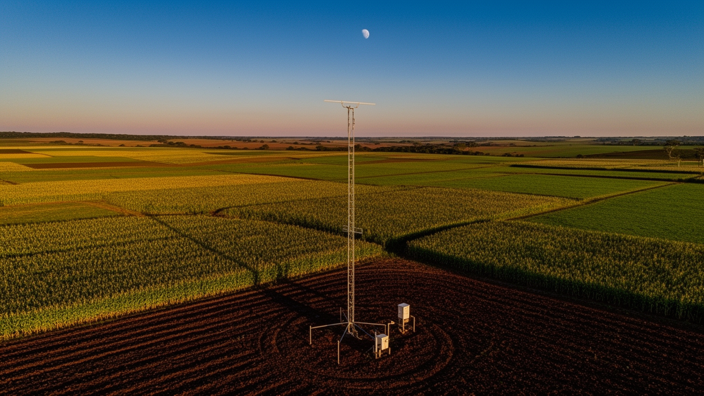
Field reality, as usual, intervened. Three of the ten stations failed during the nine-month deployment from February to November 2025, victims of vegetation overgrowth, water infiltration into dataloggers, and readings that fluctuated implausibly between consecutive hours. That left seven operational stations recording hourly soil moisture at 5-centimeter depth via calibrated capacitance sensors, later aggregated into 273 daily observations per station. Even reduced, the network still spanned broad gradients of elevation, soil texture, and land cover. The team also collected 26 independent measurements with a portable time-domain reflectometry probe at randomly distributed sites, reserving them exclusively for external validation rather than model training.
With the field data in hand, the researchers built two machine learning models: Random Forest, an ensemble that averages many decision trees trained on bootstrap samples, and Extreme Gradient Boosting, or XGBoost, which fits trees sequentially to correct the residuals of previous ones. Both models ingested SMAP observations alongside topographic, climatic, and soil covariates, including evapotranspiration and land surface temperature from the ERA5-Land reanalysis, precipitation from the CHIRPS dataset, land cover from MODIS, and soil texture from OpenLandMap. Crucially, the models were trained only on point-scale observations at their native resolutions, then applied across the 9-kilometer SMAP grid. The authors are careful to frame the result as a statistical refinement of the satellite product rather than a downscaling exercise, preserving the satellite’s original spatial support.
The performance gains were striking. On an independent test set comprising 30 percent of the data, XGBoost achieved a coefficient of determination of 0.886, a correlation of 0.941, a Kling-Gupta Efficiency of 0.901, and a root mean square error of just 0.0275 cubic meters of water per cubic meter of soil. Random Forest performed nearly identically, with an R² of 0.887 and RMSE of 0.0274 cubic meters per cubic meter. A paired bootstrap analysis with 10,000 replicates found no statistically significant difference between the two algorithms. The original SMAP product, evaluated against the same observations, managed only an R² of 0.339 with an RMSE of 0.100 cubic meters per cubic meter, roughly four times the error. Wilcoxon signed-rank tests confirmed that both machine learning models significantly outperformed the satellite product alone.
Interpretability analyses revealed why the approach works. Variable importance rankings and Shapley Additive Explanations, or SHAP, values showed that SMAP remained the dominant predictor, contributing about 37 percent of XGBoost’s total gain, supplying the large-scale temporal backbone of the moisture signal. Elevation came second at roughly 25 percent, modulating that signal through topographic position and lateral water redistribution, while land surface temperature added about 8 percent, capturing evaporative demand. Soil texture variables together accounted for around 14 percent, with higher sand content reducing predicted moisture under dry conditions and higher clay content enhancing retention. Precipitation contributed less than 5 percent, likely because its influence is already embedded in the satellite observations and other covariates. The convergence of both algorithms on the same predictor hierarchy suggests the models captured genuine environmental controls rather than algorithmic artifacts.
The harder question was spatial transferability: could models trained at seven locations predict soil moisture where no sensors existed? The researchers answered this with Leave-One-Site-Out cross-validation, excluding each station entirely from calibration and testing there. Both models retained useful skill at held-out sites, but performance varied considerably. Random Forest’s R² ranged from 0.17 to 0.91 across sites, with its worst result at the station combining the highest elevation and the highest clay content, 36 percent, in the network. XGBoost proved more stable, with R² values between 0.54 and 0.76, and substantially outperformed Random Forest at that difficult site, suggesting its sequential boosting framework handles environmentally unusual locations better. The authors caution that the seven stations directly sample only about 3 percent of the 199 SMAP grid cells intersecting the basin, and that transfer success depends on environmental similarity between calibration and prediction sites.
Spatially, the machine learning refinements did something subtle and important: they reorganized variability rather than amplifying it. During the driest days, SMAP showed spatial standard deviations of 0.042 to 0.047 cubic meters per cubic meter and even displayed a rectangular, grid-aligned artifact in the basin’s central-western sector; the machine learning products smoothed these discontinuities while preserving basin-scale gradients. Under wet conditions, both models produced lower values than SMAP, with mean deviations of −0.084 cubic meters per cubic meter for Random Forest and −0.071 for XGBoost over the full study period, adjustments that brought the satellite estimates into closer agreement with field measurements rather than arbitrarily drying the signal. The authors acknowledge limitations, including the roughly nine-month record that cannot capture interannual climate variability and the absence of a continuous vegetation index. Still, the framework offers a practical template for data-scarce regions worldwide: place a small number of sensors where they matter most, let machine learning fuse their information with satellite observations, and rigorously test whether the learned relationships travel across the landscape.
Subject of Research: Machine learning refinement of satellite-derived soil moisture estimates in a data-scarce Brazilian watershed using strategically designed field sampling
Article Title: Improving satellite-derived soil moisture estimates in a data-scarce watershed using strategically designed sampling and machine learning
Article References: Brum, M. L., Huang, J., & Swarowsky, A. (2026). Improving satellite-derived soil moisture estimates in a data-scarce watershed using strategically designed sampling and machine learning. Environmental Earth Sciences, 85(17), Article 440. https://doi.org/10.1007/s12665-026-13196-6
Image Credits: AI Generated
DOI: 10.1007/s12665-026-13196-6
Keywords: soil moisture, SMAP, machine learning, Random Forest, XGBoost, Conditioned Latin Hypercube Sampling, remote sensing, Vacacaí River Basin, hydrology, cross-validation, SHAP, Brazil
Cite Scienmag News
Violet Maxwell. (October 27, 2026). Smart Sensor Placement and Machine Learning Sharpen Satellite Soil Moisture Maps in Brazil. Scienmag. https://scienmag.com/smart-sensor-placement-and-machine-learning-sharpen-satellite-soil-moisture-maps-in-brazil/
Violet Maxwell. "Smart Sensor Placement and Machine Learning Sharpen Satellite Soil Moisture Maps in Brazil." Scienmag, 27 October 2026, https://scienmag.com/smart-sensor-placement-and-machine-learning-sharpen-satellite-soil-moisture-maps-in-brazil/. Accessed 27 October 2026.
Violet Maxwell. "Smart Sensor Placement and Machine Learning Sharpen Satellite Soil Moisture Maps in Brazil." Scienmag. October 27, 2026. https://scienmag.com/smart-sensor-placement-and-machine-learning-sharpen-satellite-soil-moisture-maps-in-brazil/


