


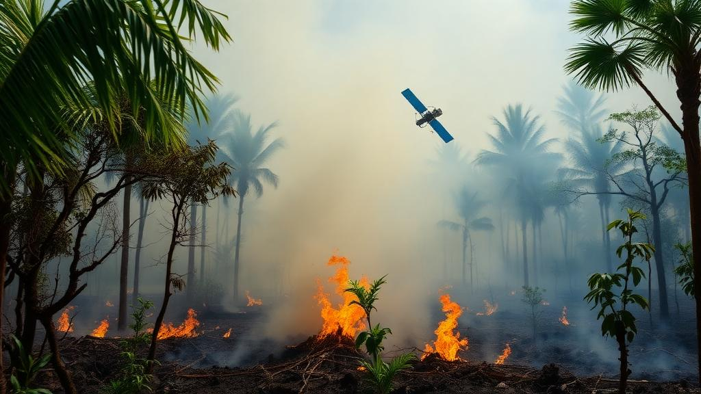
Satellites can spot a roaring peatland blaze from hundreds of kilometres away, but the most destructive part of a tropical peat fire often hides beneath the surface, glowing at temperatures too low for most orbiting sensors to register. That is the central conclusion of a systematic review of optical remote sensing for tropical peatland fires, which examined how scientists detect and distinguish the two fundamentally different combustion phases of these fires: fast-burning flaming fires above ground and slow, persistent smouldering fires within the peat itself. The review, conducted according to the PRISMA protocol, screened 408 studies from the Scopus and Web of Science databases and included 23 peer-reviewed articles in its final analysis. Its verdict is sobering: the combustion phase that contributes the most carbon and particulate emissions to the atmosphere is also the hardest one to detect from space.
The stakes could hardly be higher. Tropical peatlands cover only about 11 percent of the world’s peatland area yet hold roughly 15 to 19 percent of the planet’s total peat carbon, making them among the most efficient terrestrial carbon stores in existence. These ecosystems are found in Indonesia and Malaysia, the lowlands of Central Africa, mainland South Asia, South America, and small parts of Australia and the Pacific. When they burn, the fires consume deep peat layers containing ancient soil carbon that had been locked away from the active carbon cycle for millennia, with significant consequences for the carbon cycle and climate feedbacks. Indonesia, which hosts nearly half of the world’s tropical swamp peatlands, has suffered severe fire episodes in 1997, 2006, 2015, and 2019, and these fires are a primary contributor to the regional haze that accompanies major burning seasons.
The review traces how these fires begin. Peat ignition depends on fuel availability, hydrological conditions, and local meteorology. Logging, land-use change, land clearing, and the construction of drainage canals for agriculture and plantations have degraded peatlands across the region, allowing oxygen to enter pores that were previously water-saturated and transforming wet carbon sinks into potential fuel. Drought during El Nino phases heightens vulnerability, particularly in deforested and drained areas. Once ignition conditions combine sufficient fuel, low water tables, adequate wind speed, and prolonged heat exposure, the peat undergoes a thermal transition into combustion. Flame lengths vary dramatically with land cover: measurements compiled in the review reach up to 21.5 metres in grasslands and 2.6 to 8.4 metres in oil palm plantations, while swamp forests show shorter flames because surface fires there are carried by lower-stature shrub vegetation.
What happens next is a tale of two chemically distinct processes. Flaming combustion occurs above the peat surface, oxidising the volatile gases released when heat pyrolyses the fuel, and it consumes surface vegetation such as trees, shrubs, crops, and grasses. Smouldering combustion, by contrast, is a heterogeneous oxidation of char on the surface of the solid peat itself, spreading through the soil beneath the vegetation in a diffusion-controlled regime. Smouldering fires can persist for weeks, months, or even years, surviving heavy rainfall, weather fluctuations, and suppression efforts. Crucially, the review notes that smouldering fires in tropical peatlands generally do not ignite spontaneously; they are typically triggered by flaming fires in the overlying vegetation, which leave behind smouldering hotspots that expand, merge, and consume the majority of the peat long after the flames have died. The transition between phases is governed by moisture content: the probability of flaming fires turning into smouldering ones decreases sharply as moisture rises, and fire propagation can cease once peat moisture exceeds a critical content of about 110 percent. Field measurements show smouldering spread rates of 1.85 centimetres per hour at 2 centimetres depth, slowing to 1.31 centimetres per hour at 4 centimetres.
The emission consequences of this split are stark. Because smouldering combustion is incomplete, it yields substantially higher levels of carbon monoxide, methane, and ammonia than flaming combustion, and despite its slower rate, particulate and carbon emissions are more than three times higher. The majority of emissions from tropical peatland fires actually result from the oxidation of subsurface ash and charcoal. Combustion efficiency provides a quantitative marker: flaming fires exhibit high combustion efficiency of around 0.9 or higher, while smouldering fires show modified combustion efficiency below 0.9, accompanied by elevated emissions of carbon dioxide and organic aerosols. Both phases produce fine particles, ultrafine particles, and polycyclic aromatic hydrocarbons, but smouldering also generates brown carbon aerosols that strongly absorb radiation in the near-ultraviolet range between 340 and 380 nanometres, a signature that remote sensing can exploit indirectly through smoke plumes.
Temperature emerges as the single physical variable on which nearly all optical detection methods rest. Early measurements using Landsat data and infrared video thermometry in Riau and Kalimantan recorded surface temperatures of 290 to 360 kelvin for unburned areas, 360 to 500 kelvin for smouldering fires, and 700 to 1000 kelvin for flaming fires, a roughly 400 kelvin gap between the two combustion phases. Field studies in Ogan Komering Ilir and Papua, Indonesia, measured smouldering temperatures of 856 and 884 kelvin respectively, and earlier work reported smouldering ranges of 320 to 550 kelvin. The review is careful to note, however, that these temperature ranges overlap considerably across the pre-heating, pyrolysis, smouldering, and flaming stages, so retrieved temperature values should not be treated as mutually exclusive phase labels; a single pixel may contain a mixture of different phases or combustion types.
That temperature difference maps directly onto the electromagnetic spectrum through well-established physical laws. By Wien’s displacement law, high-temperature fires are best observed at short wavelengths, while low-temperature fires are best detected at long wavelengths. In one radiative emission model cited in the review, a flame source at 800 kelvin peaked at 3.62 micrometres, within the 3 to 4 micrometre mid-infrared region used by operational fire products, whereas smouldering combustion at 400 kelvin peaked at 7.24 micrometres, where strong water vapour absorption makes the atmosphere opaque, so smouldering is best observed in the 8 to 12 micrometre longwave infrared window. In practice, shortwave infrared bands around 1.6 to 2.2 micrometres detect the intense radiant emission of flames, thermal and longwave infrared bands around 8 to 12 micrometres capture the faint heat of smouldering ground, and the mid-infrared band serves as the primary basis for global operational products such as MODIS and VIIRS active fire detection, which can capture both phases with a single wavelength.
The choice of satellite sensor therefore determines what a monitoring programme can and cannot see. Landsat-8, with its shortwave infrared bands, thermal infrared band, and 30-metre resolution, is the most widely used dataset for phase differentiation. Sentinel-2 offers superior 10-metre resolution and a faster revisit time of roughly five days, but it lacks a thermal infrared band entirely, and experiments applying the Tropical Peatland Combustion Algorithm to Sentinel-2 data confirmed that higher spatial resolution cannot compensate for the missing thermal information: smouldering detection accuracy fell to the 35 to 56 percent range while flaming detection remained above 95 percent. The geostationary Himawari-8 AHI sensor provides 10-minute temporal resolution for estimating fire radiative power and particulate emissions, but its coarse 2-kilometre resolution means small smouldering fires go undetected and fire radiative power is underestimated during low-temperature phases. MODIS products, widely used for fire frequency and burned-area mapping at 1-kilometre resolution, cannot distinguish combustion phases at all. The VIIRS instrument on the Suomi NPP satellite stands out: its M13 band at 4 micrometres detects both flaming and smouldering fires, its Day-Night Band exploits visible light emitted by hot flames at night, and its daily imaging frequency makes it suitable for continuous monitoring.
Three methodological families have emerged from the literature. The Tropical Peatland Combustion Algorithm, first introduced in 2018, uses rule-based thresholds on shortwave infrared reflectance, thermal infrared brightness temperature, and an aerosol band to classify pixels as flaming, smouldering, or mixed combustion, achieving an overall detection accuracy of 82 percent that rises to 93 percent after masking urban areas; the probability of detection reaches 100 percent for flaming fires but only 73 percent for smouldering ones. A second approach, pixel subtraction, exploits the 400-kelvin temperature difference by fitting Planck curves to longwave infrared radiance, attributing the residual to smouldering; this method yields an estimated smouldering detection limit for Landsat-8 of 40 to 90 square metres, equivalent to just 4 to 10 percent of a single pixel, and reveals that flaming and smouldering often occur simultaneously within one pixel. Extended to VIIRS data across four spectral bands, the approach can even capture endothermic pre-heating at 320 to 450 kelvin and slow pyrolysis at 650 to 750 kelvin, stages that conventional hotspot algorithms miss entirely. A third method, the Visible Energy Fraction, computes the ratio of visible light power to fire radiative power for each pixel, producing a normalised value from zero to one that is relatively independent of fire size and can distinguish small, intensely flaming sources from large, predominantly smouldering ones, though it underestimates values under thick smoke.
The review’s final message is one of persistent, structural challenge. The mixed-pixel problem means a small flaming fraction can dominate the recorded signal and mask a much larger, cooler area of glowing embers. Much smouldering occurs beneath the peat surface at temperatures below the 650-kelvin threshold used in fire-radiative-power methods, making it difficult for optical thermal sensors to detect regardless of resolution. Persistent tropical cloud cover restricts observation coverage, and sensors face an unavoidable trade-off between spatial and temporal resolution. There is also a glaring geographic gap: 21 of the 23 reviewed studies focus on Indonesia, and the only study outside Southeast Asia, an analysis of peat fire regimes in Angola, characterised fire regimes only in general terms, meaning current detection algorithms have been developed and validated almost exclusively for Southeast Asian conditions. The review recommends integrating phase-discrimination algorithms such as the Tropical Peatland Combustion Algorithm with subpixel subtraction methods on high-temporal-resolution data from MODIS or VIIRS for daily local-scale monitoring, alongside future sensors with higher-resolution mid- and thermal-infrared bands and atmospheric proxies such as aerosol optical depth or carbon monoxide to validate smouldering indirectly. Until then, the fires that matter most to the climate will continue to burn largely out of sight, beneath the smoke.
Subject of Research: Optical remote sensing detection of flaming and smouldering combustion phases in tropical peatland fires
Article Title: Optical Remote Sensing for Flaming and Smouldering Combustion in Tropical Peatland Fires: A Systematic Review of Detection Mechanisms, Capabilities, and Challenges
Article References: Fadillah, M. A., Cahyono, B. K., Winasis, E. A., Zahira, D. Z., Cahyani, F., Ikram, N. M., Royyan, M. R. A., Atulolon, C. A., Mahardika, I. M. S., Worabay, N. S., Yunardi, Kurniawan, R., Haningdya, M. S., Lama, A. R., Karmani, F., & Ajrin, H. A. (2026). Optical Remote Sensing for Flaming and Smouldering Combustion in Tropical Peatland Fires: A Systematic Review of Detection Mechanisms, Capabilities, and Challenges. Environmental Challenges, 25, Article 101699. https://doi.org/10.1016/j.envc.2026.101699
Image Credits: AI Generated
DOI: 10.1016/j.envc.2026.101699
Keywords: tropical peatlands, smouldering combustion, flaming fires, remote sensing, satellite detection, Landsat-8, VIIRS, Sentinel-2, fire radiative power, thermal infrared, carbon emissions, systematic review
Cite Scienmag News
Sloane Callahan. (October 24, 2026). Satellites Struggle to See the Slow Fires Smouldering Beneath Tropical Peat. Scienmag. https://scienmag.com/satellites-struggle-to-see-the-slow-fires-smouldering-beneath-tropical-peat/
Sloane Callahan. "Satellites Struggle to See the Slow Fires Smouldering Beneath Tropical Peat." Scienmag, 24 October 2026, https://scienmag.com/satellites-struggle-to-see-the-slow-fires-smouldering-beneath-tropical-peat/. Accessed 24 October 2026.
Sloane Callahan. "Satellites Struggle to See the Slow Fires Smouldering Beneath Tropical Peat." Scienmag. October 24, 2026. https://scienmag.com/satellites-struggle-to-see-the-slow-fires-smouldering-beneath-tropical-peat/


