


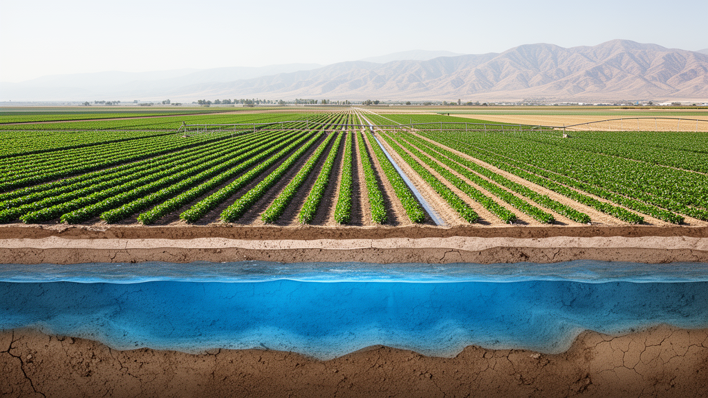
Groundwater levels across the southern San Joaquin Valley declined sharply between 1971 and 2023, according to a regional reconstruction that combined incomplete but overlapping records from 3,865 wells. The study estimated an average decline of 12.7 metres in the mostly unconfined aquifer and 31.4 metres in the confined aquifer over the 52-year period, with sharper falls during drought years. The results also indicated that the mostly unconfined aquifer lost an estimated 50.6 cubic kilometres of stored groundwater from 1971 to 2023.
The research focused on the Tulare Basin in the southern part of California’s San Joaquin Valley, where substantial gaps in monitoring data impede efforts to track long-term groundwater depletion. Records from individual wells contain both spatial and temporal gaps, while some measurements are regarded as unreliable. Rather than restricting the analysis to locations with continuous, high-quality observations, the investigators used the incomplete archive as a collection of overlapping hydraulic-head records and sought to reconstruct annual changes across the study area.
For the reconstruction, the researchers applied a time-series technique designed to solve for annual hydraulic-head changes from the overlapping well observations. The output covered both yearly changes and total hydraulic head for every year from 1971 through 2023. The result is a model-based regional record of how groundwater levels changed over more than five decades.
The analysis was divided between two hydrogeological settings: a mostly unconfined aquifer and a deeper confined or semi-confined aquifer. The deeper confined aquifer experienced the greater estimated average decline, falling by 31.4 metres from 1971 to 2023, compared with 12.7 metres in the mostly unconfined aquifer. Both settings showed sharp reductions during drought years, but the available results do not provide separate numerical estimates for the magnitude of each drought-related decline.
A critical part of the study was assigning 3,865 wells to the appropriate aquifer. The wells sampled different depth intervals, and their available descriptions did not always permit a simple classification. The researchers therefore combined three approaches: comparing the depth of the Corcoran Clay, identified as the primary confining unit, with each well’s perforation interval; using a similarity-based random forest model; and examining seasonal variability in the groundwater-level records.
The Corcoran Clay comparison supplied a depth-based line of evidence by relating the principal confining layer to the interval penetrated by a well. The random forest model extended that process by identifying similarities among well records and using them to support aquifer assignments. Seasonal groundwater-level variability provided an additional observational indicator.
To translate reconstructed groundwater levels into estimates of lost groundwater storage, the investigators integrated the level estimates with model-based values for specific yield and specific storage. They also used satellite-derived subsidence data. The subsidence information entered the storage accounting through its association with compaction of the aquifer matrix, while the specific-yield and specific-storage estimates supported calculation of water released from the two aquifer categories.
The resulting storage figures are therefore estimates derived from the reconstructed levels and supporting models. For 2015–2023, the study estimated a total groundwater storage loss of 9.1 cubic kilometres across the Tulare Basin study area. Approximately 53.1 percent of that loss came from the mostly unconfined aquifers, while about 45.3 percent was associated with compaction of the aquifer matrix.
The two reported shares are close but not identical and therefore leave a small remainder outside those principal components. The result applies specifically to the 2015–2023 interval and should not be presented as the total loss over the full 1971–2023 reconstruction. The longer-term estimate shows a larger cumulative change in the mostly unconfined aquifer, where the researchers estimated a loss of 50.6 cubic kilometres of groundwater storage between 1971 and 2023.
The available study summary does not provide a comparable full-period storage-loss figure for the confined aquifer. By contrast, the basin-wide 9.1-cubic-kilometre total is explicitly restricted to 2015–2023. This distinction is important because a nine-year storage estimate and a 52-year aquifer-specific estimate cover different periods and scopes.
Its central technical feature is the time-series treatment of overlapping hydraulic-head observations, allowing annual changes and total head to be estimated even when individual wells have short or discontinuous records. The output remains a reconstruction rather than a direct measurement of every location and year, and it depends on the aquifer-classification rules, time-series method, storage parameters and satellite-derived subsidence. Within those limits, the study presents a spatially detailed estimate of declining groundwater levels and quantifies the major storage-loss components associated with the southern San Joaquin Valley’s aquifers.
Subject of Research: Reconstruction of multi-decadal groundwater levels and storage loss in California’s Tulare Basin
Article Title: Estimating multi-decadal groundwater levels using incomplete well records in confined and unconfined aquifers of the southern San Joaquin Valley, California (USA)
Article References: Pant, S., & Smith, R. (2026). Estimating multi-decadal groundwater levels using incomplete well records in confined and unconfined aquifers of the southern San Joaquin Valley, California (USA). Hydrogeology Journal. https://doi.org/10.1007/s10040-026-03202-3
Image Credits: AI Generated
DOI: 10.1007/s10040-026-03202-3
Keywords: groundwater depletion, San Joaquin Valley, Tulare Basin, well records, hydraulic head, confined aquifers, unconfined aquifers, groundwater storage, land subsidence, drought, Estimating, multi-decadal
Cite Scienmag News
Violet Maxwell. (October 22, 2026). Study reconstructs five decades of groundwater loss in California’s Tulare Basin. Scienmag. https://scienmag.com/study-reconstructs-five-decades-of-groundwater-loss-in-californias-tulare-basin/
Violet Maxwell. "Study reconstructs five decades of groundwater loss in California’s Tulare Basin." Scienmag, 22 October 2026, https://scienmag.com/study-reconstructs-five-decades-of-groundwater-loss-in-californias-tulare-basin/. Accessed 22 October 2026.
Violet Maxwell. "Study reconstructs five decades of groundwater loss in California’s Tulare Basin." Scienmag. October 22, 2026. https://scienmag.com/study-reconstructs-five-decades-of-groundwater-loss-in-californias-tulare-basin/


