


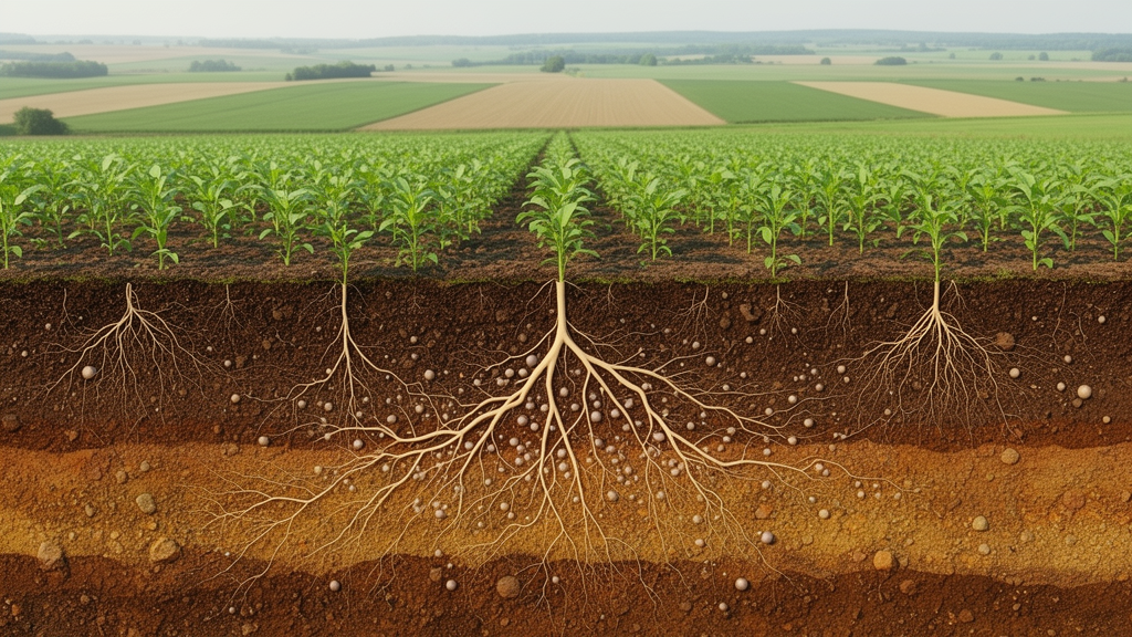
A national-scale analysis of agricultural land in Poland shows that regulating soil-based ecosystem services are not independent functions but an interconnected system shaped by soil texture, organic carbon, vegetation and environmental conditions. The study combined digital soil mapping with multivariate statistics and correlation-based network analysis to map carbon sequestration, nutrient provision, water regulation and erosion control across Poland. Fine-textured soils had the strongest overall regulatory capacity, while the relationships revealed soil organic carbon, cation exchange capacity and available water capacity as central links among the measured functions.
Published in Frontiers in Environmental Science, the research treated Polish agricultural soils as an example of Central European pedoclimatic conditions. Researchers selected 73 environmental covariates from 157 candidates, including mapped soil properties, 30-metre terrain variables, vegetation indices derived from five years of Sentinel-2 imagery, historical climate data and land-cover information. They then mapped soil indicators across the country and combined these layers with one million proportional random samples for statistical analysis. The resulting regulating soil ecosystem service, or rSES, index ranged from zero to five and integrated the four individual services through their geometric mean.
The clearest relationship appeared between soil texture and the overall index. Mean rSES values were highest in very heavy soils, at 2.75, and heavy soils, at 2.62. Light and very light soils had the lowest means, at 1.84 and 1.90, respectively. The category containing mainly organic and organic-origin soils reached 2.15. The pattern did not mean that every function improved with heavier soil: nutrient provision and water regulation rose more consistently with clay content, whereas carbon sequestration remained comparatively variable and erosion control showed weaker links to texture alone.
Water regulation displayed one of the most pronounced gradients. The median increased from 1.26 in both very light and light soils to 2.15 in medium soils, 2.92 in heavy soils and 3.68 in very heavy soils. Available water capacity followed the same broad direction, with median values of 35.9, 42.5, 69.3, 188 and 601 millimetres per metre from the lightest to the heaviest category. Saturated hydraulic conductivity moved in the opposite direction, declining from 226.1 millimetres per hour in very light soils to 0.37 in very heavy soils. The contrast reflects the capacity of fine soils to store plant-available water while conducting water more slowly.
Nutrient provision also became stronger as soils became heavier. Median nutrient-service values were 2.35 for very light soils, 2.70 for light soils, 2.93 for medium soils and 3.57 for both heavy and very heavy soils. Cation exchange capacity, a measure of soil exchange capacity, had a median of 12.4 millipositive charge per 100 grams in light soils and 26.6 in very heavy soils. Available potassium and magnesium also tended to rise across the texture classes, whereas available phosphorus did not follow a simple gradient. Its median declined from 21.5 milligrams per 100 grams in the organic-origin group to 15.3 in very heavy soils, underscoring the combined influence of texture, pH and biological processes.
Land cover produced a different ordering. Pastures and meadows had the highest median carbon-sequestration value, 3.04, compared with 2.82 for forests, 2.26 for arable land and 2.48 for built-up areas. Forests recorded the highest median erosion-control value, 3.0, while arable land and orchards or plantations each had a median of 1.0. No clear dependence on land use was detected for water regulation. The researchers therefore interpreted the results as evidence that land use modifies ecosystem services but cannot explain their spatial patterns by itself. Local differences in soil properties, management and vegetation cover remained important.
Principal component analysis identified a strong multivariate structure linking the services and their environmental controls. The first component explained 27.22% of total variance and was associated with soil organic carbon stocks, cation exchange capacity, available water capacity and vegetation indices. It also placed nutrient provision and carbon sequestration near measures of vegetation density. The second component accounted for 17.66% and was dominated by climatic and topographic variables, including maximum temperature, isothermality and relief-related measures. Erosion control aligned most strongly with this second gradient, while water regulation aligned more closely with soil texture. Together, the first two components explained nearly 45% of the variance.
A correlation-based alluvial analysis then traced relationships among the integrated index, individual services, soil indicators and environmental variables. Water regulation and erosion control had the strongest statistical connections with the overall rSES index, followed by carbon sequestration; nutrient provision showed the weakest overall connection. At the soil level, carbon sequestration was closely associated with organic carbon stocks and net ecosystem production, while nutrient provision was linked to its direct indicators: available phosphorus, potassium and magnesium, cation exchange capacity and pH. These are spatial associations rather than direct causal effects, and the researchers assessed them alongside sensitivity tests using Pearson and Spearman correlations, principal components, grid-based subsampling and alternative aggregation methods.
The maps nevertheless reveal an important trade-off within organic soils. This group had a mean carbon-sequestration value of 3.12, the highest among the texture categories, but its mean water-regulation value was only 1.74, below the 2.36 recorded for medium soils. The authors associated low water yields and high saturated conductivity with the hydrological vulnerability of organic soils, noting that altered drainage and water-regime changes can promote organic-matter mineralization. The findings therefore suggest that carbon-rich organic soils can support substantial carbon functions while remaining sensitive to hydrological disturbance. They do not, however, demonstrate that the mapped services have changed over time or establish the effects of a particular intervention.
Several limitations constrain the national picture. The analysis focused on agricultural land, so forest estimates were derived from relatively small patches or agroforestry areas and may underestimate forest regulatory services. The assessment was also largely static, using multi-year vegetation imagery and historical climate normals rather than repeated observations through time. Uncertainty in individual mapped soil properties was not fully propagated into the service calculations, and national soil-biological indicators were limited. The study consequently identifies spatial relationships rather than a temporal trend, direct causal mechanism or locally validated prescription. Future work could combine repeated soil monitoring, detailed records of tillage, fertilization, crop rotation and land use, additional biodiversity variables and external validation to determine how the network changes under climate and land-use scenarios.
Subject of Research: National mapping of connections among regulating soil ecosystem services, soil properties, vegetation, climate and terrain in Polish agricultural land
Article Title: Connectivity between regulating soil-based ecosystem services, soil properties, and environmental factors within agricultural land
Article References: Pindral, S., Wnuk, A., Coblinski, J. A., & Smreczak, B. (2026). Connectivity between regulating soil-based ecosystem services, soil properties, and environmental factors within agricultural land. Frontiers in Environmental Science, 14, Article 1923878. https://doi.org/10.3389/fenvs.2026.1923878
Image Credits: AI Generated
DOI: 10.3389/fenvs.2026.1923878
Keywords: soil ecosystem services, soil texture, soil organic carbon, water regulation, erosion control, nutrient provision, agricultural land, Poland, digital soil mapping, multivariate analysis, Connectivity, between
Cite Scienmag News
Alan Morgan. (October 22, 2026). Polish farmland maps reveal soil’s hidden regulatory network. Scienmag. https://scienmag.com/polish-farmland-maps-reveal-soils-hidden-regulatory-network/
Alan Morgan. "Polish farmland maps reveal soil’s hidden regulatory network." Scienmag, 22 October 2026, https://scienmag.com/polish-farmland-maps-reveal-soils-hidden-regulatory-network/. Accessed 22 October 2026.
Alan Morgan. "Polish farmland maps reveal soil’s hidden regulatory network." Scienmag. October 22, 2026. https://scienmag.com/polish-farmland-maps-reveal-soils-hidden-regulatory-network/


