


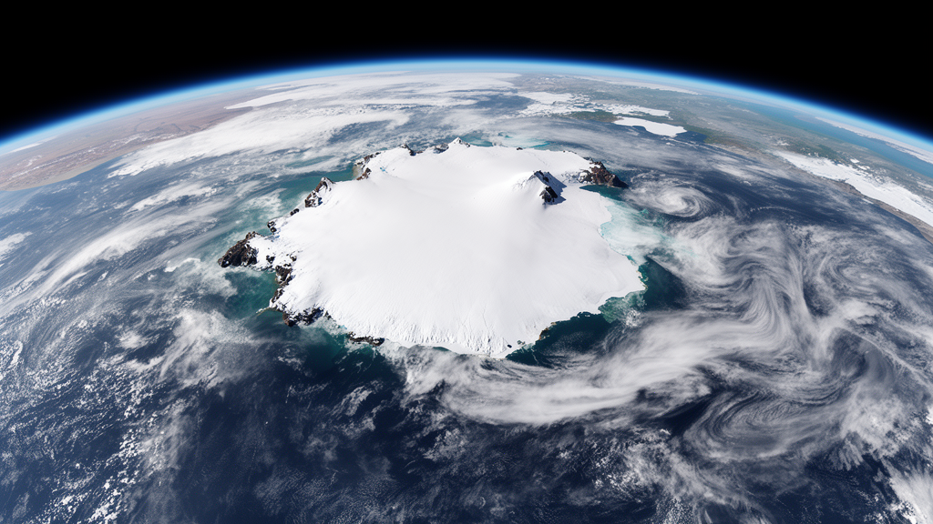
A satellite-based climatology spanning November 1992 to December 2022 has identified 1,386 Cloud Mass Meridional Transport events, or CMMTs, around Antarctica. The dataset records when these poleward-moving, synoptic-scale cloud masses made landfall, where they travelled and how long they persisted, providing a new physical-observation record for studying atmospheric transport onto the Antarctic continent. The project is described in a preprint posted on 22 October 2026 and currently under review in Earth System Science Data.
CMMTs are defined in the study as vertically developed cloud masses that move southward throughout their duration, penetrate more than 200 kilometres onto Antarctica and continue for at least 48 consecutive hours. The authors describe these events as fluxes of heat and moisture over the Antarctic continent. They also identify the processes as important to the surface mass balance and annual precipitation totals of the Antarctic Ice Sheet, making the timing and location of the systems relevant to studying how the atmosphere delivers energy and moisture to the ice sheet.
The new climatology was built from infrared satellite composite imagery. Researchers manually identified landfalling CMMTs and tracked them across seven regions around Antarctica, allowing the dataset to describe both the timing and spatial distribution of the events from satellite observations rather than relying exclusively on reanalyses or automated identification algorithms. The authors note that previous climatologies for studying Antarctica’s atmosphere were limited in time or were derived from reanalyses and algorithms rather than physical observations. The stated goal of the satellite-derived record is to supplement Antarctic forecasting operations and help evaluate whether reanalyses and weather forecasting models resolve the events accurately in both time and space.
Across the full November 1992–December 2022 record, 60 percent of the identified events occurred over East Antarctica. The authors also report heightened CMMT activity in Ellsworth Land in West Antarctica and in Queen Maud Land in East Antarctica. The record shows that events were more frequent during austral winter, including June, July and August. These geographic and seasonal patterns describe where and when the defined cloud-mass transport events were detected in the satellite record, providing a more detailed view of atmospheric transport around the continent than a single continent-wide count.
The average CMMT lasted 2.81 days, while the longest event in the 30-year record lasted 13 days in May 1998. The prolonged event was an exception: 91 percent of all identified CMMTs lasted less than four days. The dataset therefore captures a dominant population of relatively short-lived events alongside a smaller set of sustained systems. The study reports the duration of each identified event as an observed property, without presenting the 13-day event as evidence of a general shift in event length or attributing it to a particular cause.
The short summary accompanying the preprint also describes a change through time: the average number of CMMTs per year increased while their average duration decreased. These are statistical features of the analyzed record rather than projections about future climate behavior. The available material does not establish why the annual frequency and mean duration moved in those directions, and it does not support a causal attribution to climate change. The climatology is instead a description of the number of events observed, their durations and their locations during the satellite period.
For weather and forecasting operations, the dataset offers event-level information that can be compared with the timing, duration, track and landfall of an individual CMMT. The researchers made the satellite composite imagery, comma-separated value files and monthly text documents describing the time and spatial distribution of each CMMT publicly available through the Antarctic Meteorological Research and Data Center at the University of Wisconsin–Madison. The event records are intended to provide a physical-observation reference for checking the temporal and spatial representation of these high-impact systems in forecasting models and reanalyses.
The method has defined limits that are relevant when interpreting the inventory. Manual identification from infrared satellite composites requires consistent application of the study’s criteria for vertical development, duration, southward propagation and inland penetration. The record covers a defined three-decade interval and seven Antarctic regions, and the study is a climatological description of events detected under that framework. Because the supplied material is an abstract and summary, it does not quantify ambiguous cases or establish whether every cloud mass meeting the physical definition was captured; those questions would require the full methods and supplementary results.
Even with those limits, the project provides a long, observation-based benchmark for an atmospheric process associated with heat and moisture transport onto Antarctica. Its 1,386-event inventory shows where and when the defined systems occurred, while the 2.81-day mean and the 13-day maximum summarize the observed duration range. By making the imagery and event documentation accessible, the authors aim to improve the temporal and spatial representation of these systems in forecasting models and reanalyses. The central result is a physically observed Antarctic climatology of poleward cloud-mass transport, built from satellite imagery and designed to support comparison with atmospheric analyses and forecasts.
Subject of Research: Satellite-derived climatology of Antarctic cloud mass meridional transport events from 1992 to 2022
Article Title: A 30-Year satellite based climatological dataset of Antarctic Cloud Mass Meridional Transport events
Article References: Chambers, J. M., Lazzara, M. A., Zanowski, H., Mikolajczyk, D. E., Orendorf, S., Ziegler, T., & Keller, L. M. (2026). A 30-Year satellite based climatological dataset of Antarctic Cloud Mass Meridional Transport events. https://doi.org/10.5194/essd-2026-664
Image Credits: AI Generated
Keywords: Antarctica, CMMT events, satellite climatology, infrared imagery, atmospheric moisture transport, East Antarctica, polar meteorology, precipitation, weather forecasting, reanalysis evaluation, Year, satellite
Cite Scienmag News
Violet Maxwell. (October 22, 2026). Satellite dataset tracks 1,386 Antarctic moisture-transport events over 30 years. Scienmag. https://scienmag.com/satellite-dataset-tracks-1386-antarctic-moisture-transport-events-over-30-years/
Violet Maxwell. "Satellite dataset tracks 1,386 Antarctic moisture-transport events over 30 years." Scienmag, 22 October 2026, https://scienmag.com/satellite-dataset-tracks-1386-antarctic-moisture-transport-events-over-30-years/. Accessed 22 October 2026.
Violet Maxwell. "Satellite dataset tracks 1,386 Antarctic moisture-transport events over 30 years." Scienmag. October 22, 2026. https://scienmag.com/satellite-dataset-tracks-1386-antarctic-moisture-transport-events-over-30-years/


