


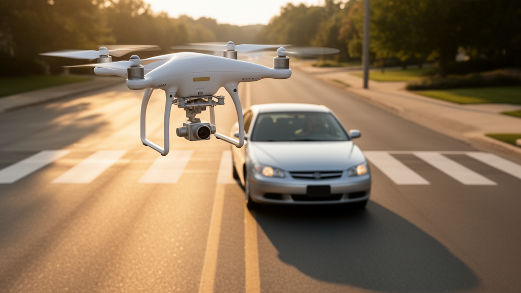
As delivery drones and electric air taxis begin to fill urban skies, they face a problem that aviation safety engineers have never confronted before: the traffic below them is driven by humans, and humans are unpredictable. A new study published in Frontiers in Robotics and AI proposes a computational framework that lets autonomous drones read the driving styles of the vehicles beneath them, quantify the resulting air-ground collision risk in real time, and rewrite their own flight plans accordingly. The work, led by Ying Wang of the People’s Public Security University of China and colleagues, addresses one of the most stubborn bottlenecks in low-altitude flight operations — the sheer heterogeneity of ground traffic.
Conventional risk models for drone flight were largely designed around static obstacles or conflicts between aircraft. They treat the ground as a passive backdrop, a surface to be avoided in the event of a crash. But the researchers argue that this view is dangerously incomplete. When a drone malfunctions over a highway, the severity of the outcome depends on what is happening on that highway at that exact moment: how dense the traffic is, how fast the vehicles are moving, and — crucially — how the individual drivers behave. A conservative driver maintaining a long following distance presents a very different risk profile than an aggressive driver weaving between lanes at high speed.
The framework unfolds in three coupled stages. The first is behavioral perception. Using a Gaussian Mixture Model paired with a LightGBM gradient-boosting classifier — a combination the team calls GMM-LightGBM — the system identifies each ground vehicle’s driving style online, sorting drivers into conservative, standard, and aggressive categories. Six features feed this classification, drawn from two dimensions: vehicle dynamics, including the standard deviation of longitudinal velocity, the smoothness of acceleration and deceleration, the intensity of lane changes, and the abruptness of throttle and braking operations; and safety perception, captured by the driver’s preferred following distance and the potential collision risk with the vehicle ahead.
Once a vehicle’s style is identified, the framework moves to the second stage: personalized trajectory prediction. The researchers employ the Full Velocity Difference model, a well-established car-following equation from traffic flow theory, but with a twist. Two parameters within the model — the speed recovery coefficient and the speed-difference response coefficient — are calibrated separately for each driving style using a genetic algorithm. Aggressive drivers, the calibration revealed, recover speed faster (a coefficient of 0.53 versus 0.31 for conservative drivers) and respond more sharply to changes in relative speed. This personalization paid off measurably: for aggressive drivers, prediction errors in acceleration, velocity, and position dropped by 13.23, 8.99, and 11.31 percent respectively compared with a one-size-fits-all model.
The third stage is where the framework becomes genuinely adaptive. A fuzzy inference system — chosen for its interpretability — fuses six risk features into a single real-time risk score. These features span the macroscopic traffic environment (vehicle density), behavioral characteristics (the driving style of the nearest vehicle), and the air-ground geometric relationship (horizontal distance, flight altitude, relative speed difference, and the angle between the drone’s heading and the vehicle’s motion direction). Fuzzy rules encode safety principles that any experienced pilot would recognize: risk rises as horizontal distance shrinks, as altitude drops, as driving styles grow more aggressive, and as the conflict geometry approaches the vertical. The system then defuzzifies these rule outputs using the center-of-area method, producing a precise risk score between zero and one.
With risk quantified, the planning module takes over. The ground space beneath the drone is discretized into a grid, and each cell receives a risk value that blends the current fuzzy risk score with forward-looking estimates derived from the predicted vehicle trajectories. If the risk along a planned waypoint exceeds a preset threshold, the drone climbs — up to a maximum adjustment of 30 meters. Below that threshold, a neural network architecture called MS-DGST-VNet (Maneuver-Specific Dual-Graph Spatio-Temporal VectorNet) predicts the drone’s maneuver parameters: the planned duration and the three-dimensional displacement of the next flight segment. The model uses a five-layer stacked LSTM to encode the drone’s historical trajectory, a multilayer perceptron to encode road geometry, and a graph attention network to model the interactions between them.
The final piece is a risk-adaptive cost function that dynamically reweights the trade-offs between safety, efficiency, and altitude constraints. Under low risk, the drone flies efficiently at its cruising altitude. Under high risk, the safety weight surges, the sampling of candidate trajectories biases toward climbing, and the drone accepts a modest efficiency penalty in exchange for a larger safety margin. This is not a fixed rule but a continuous adjustment: the weights shift smoothly as the risk score evolves, allowing the drone to respond to a vehicle that suddenly begins changing lanes two seconds ahead.
The experimental validation drew on real-world data. The team used the NGSIM dataset, specifically trajectory records from the US-101 highway segment, extracting complete records for 51 vehicles at a time step of 0.1 seconds — 12,195 time-series state records in total. From this they constructed 130 air-ground interaction risk assessment scenarios, simulating a drone performing highway infrastructure inspection at altitudes between 50 and 120 meters with a cruising speed of 14 meters per second and a perception radius of 150 meters. The driving style classifier achieved an overall identification accuracy of 0.96, with a Macro-F1 score of 0.96. Conservative drivers were identified most reliably, with a recall of 1.00, while aggressive drivers — the most safety-critical category — still achieved an F1 score of 0.91.
The risk scores produced by the fuzzy system correlated strongly with an objective safety metric: the three-dimensional air-ground time-to-collision, which accounts for horizontal distance, altitude, and relative speed simultaneously. Mean time-to-collision values rose monotonically across risk levels — from 0.466 inverse seconds in low-risk scenarios to 0.955 in high-risk ones — confirming that the fuzzy logic output tracks physical reality rather than merely encoding the designers’ intuitions. In case studies, the framework’s behavior was strikingly context-sensitive. In a low-risk scenario with six conservative vehicles, the drone held its altitude near 90 meters and avoided unnecessary maneuvers. In a high-risk scenario with mixed driving styles and two aggressive vehicles performing lane changes at 28 meters per second, the drone climbed from 90 to approximately 105.5 meters, sustaining its altitude response throughout the high-risk period — a response that a risk-blind planner, using fixed weights, failed to match.
The implications extend beyond highway inspection. As urban air mobility scales up — with eVTOL aircraft, delivery drones, and emergency responders sharing low-altitude airspace — the ability to perceive and adapt to ground-level behavioral heterogeneity becomes a prerequisite for safe autonomous operation. The researchers acknowledge limitations: the current study considers only a single drone over structured road traffic, with vehicles assumed to maintain their lanes during prediction. Future work will extend the framework to pedestrians and cyclists, to two- and three-dimensional multimodal trajectory prediction, to multi-drone scenarios with cooperative planning, and to neuro-fuzzy systems that learn their rules from data rather than relying on manually constructed safety principles. For now, the study offers something the field has lacked: a closed loop that connects what the ground is doing to what the drone should do about it, in real time, with numbers a safety engineer can audit.
Subject of Research: Risk-adaptive UAV trajectory planning based on ground vehicle driving style identification and fuzzy air-ground risk quantification
Article Title: Heterogeneity-aware risk-adaptive trajectory planning for UAVs in air-ground multi-agent interaction
Article References: Heterogeneity-aware risk-adaptive trajectory planning for UAVs in air-ground multi-agent interaction. (n.d.). https://doi.org/10.3389/frobt.2026.1920106
Image Credits: AI Generated
DOI: 10.3389/frobt.2026.1920106
Keywords: UAV trajectory planning, air-ground interaction, driving style identification, fuzzy inference, risk quantification, machine learning, LightGBM, trajectory prediction, urban air mobility, multi-agent systems, computational intelligence, low-altitude airspace
Cite Scienmag News
Denise Maddox. (October 16, 2026). How a Drone Reads the Road: New AI Framework Lets UAVs Adapt to Driver Behavior. Scienmag. https://scienmag.com/how-a-drone-reads-the-road-new-ai-framework-lets-uavs-adapt-to-driver-behavior/
Denise Maddox. "How a Drone Reads the Road: New AI Framework Lets UAVs Adapt to Driver Behavior." Scienmag, 16 October 2026, https://scienmag.com/how-a-drone-reads-the-road-new-ai-framework-lets-uavs-adapt-to-driver-behavior/. Accessed 16 October 2026.
Denise Maddox. "How a Drone Reads the Road: New AI Framework Lets UAVs Adapt to Driver Behavior." Scienmag. October 16, 2026. https://scienmag.com/how-a-drone-reads-the-road-new-ai-framework-lets-uavs-adapt-to-driver-behavior/


