


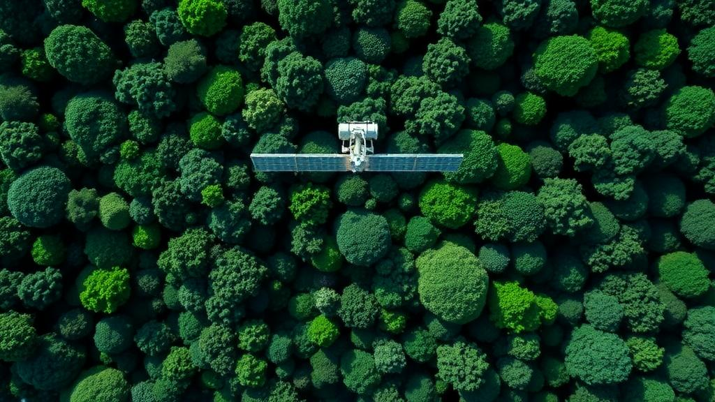
Deep in the Pembi Forest of Telangana, India, ecologists have been wrestling with one of the most stubborn problems in climate science: how do you accurately weigh a forest without cutting it down? A new study published in Environmental Monitoring and Assessment offers a striking answer. By fusing radar observations from the Japanese ALOS-2 PALSAR-2 satellite with optical imagery from Europe’s Sentinel-2, and then feeding that combined data into a committee of machine learning algorithms, a research team led by D. Ravivarma and Milkuri Chiranjeeva Reddy has produced some of the most detailed biomass maps yet for a tropical dry deciduous forest. The work matters far beyond one Indian forest, because knowing how much wood, leaf, and branch matter a landscape holds is the foundation for calculating its carbon stock, and carbon stocks are the currency of global climate policy.
Above-ground biomass, or AGB, is the dry mass of living vegetation standing above the soil, and it represents one of the largest terrestrial reservoirs of carbon on the planet. Forests worldwide absorb roughly a third of the carbon dioxide humanity emits each year, and tropical forests are the heavyweight champions of that service. Yet estimating AGB from the ground is slow, expensive, and inherently limited to small plots. Field crews measure trunk diameters and estimate heights, then convert those numbers into biomass using allometric equations, such as the widely used pantropical models of Chave and colleagues. Scaling a handful of plots to an entire forest landscape introduces enormous uncertainty, particularly in structurally complex and seasonally dynamic ecosystems like dry deciduous forests, where trees shed their leaves for months each year.
Remote sensing has long promised a way out of this bottleneck, but each family of satellite instruments comes with its own blind spots. Optical sensors such as Sentinel-2’s multispectral imager capture reflected sunlight across visible, near-infrared, and shortwave-infrared bands, which respond to leaf pigment, canopy structure, and vegetation vigor. Spectral indices derived from these bands, including the Normalized Difference Vegetation Index and its many relatives, correlate with photosynthetic activity and canopy greenness. The problem is saturation: in dense vegetation, the spectral signal plateaus, meaning a moderately stocked forest and a lush one can look nearly identical from orbit. This saturation effect has plagued optical biomass mapping for decades and is especially troublesome in the higher biomass ranges where carbon accounting matters most.
Synthetic aperture radar attacks the problem from a different angle. Instead of sunlight, SAR instruments emit microwave pulses and record the energy that scatters back, or backscatter. Because microwaves penetrate clouds and interact with the woody structure of the canopy rather than just its leaves, radar is sensitive to the timber itself. The L-band radar aboard ALOS-2 PALSAR-2, with a wavelength of roughly 23 centimeters, penetrates deeper into canopies than shorter-wavelength C-band systems and responds to branches and trunks where most biomass resides. Polarization, the orientation of the radar wave, adds further information: cross-polarized returns, in which the transmitted and received waves have different orientations, are particularly responsive to the volume of woody material. Even so, L-band radar also saturates, typically at biomass levels well below those of the densest tropical forests, which is precisely why the study’s authors argue that neither sensor alone is sufficient.
The Pembi Forest study integrated both data streams along with an unusually rich set of auxiliary variables. From ALOS-2, the team extracted backscatter coefficients and polarization-derived features. From Sentinel-2, they compiled spectral band combinations, vegetation indices, and principal components, a statistical transformation that condenses correlated spectral bands into independent axes of variation. They also incorporated leaf area index, a measure of the total one-sided leaf area per unit of ground surface, and global canopy height products derived from NASA’s GEDI spaceborne lidar fused with Landsat data. This layered predictor stack gave the machine learning models information about canopy chemistry, canopy geometry, and woody structure simultaneously, mimicking in software what a field ecologist would assess with eyes, calipers, and a rangefinder.
On the algorithmic side, the researchers benchmarked five approaches: Light Gradient Boosting Machine, Extreme Gradient Boosting, Support Vector Regression, an Artificial Neural Network, and a weighted voting ensemble that blends the predictions of the individual models. Gradient boosting methods build sequences of decision trees in which each new tree corrects the errors of its predecessors, making them exceptionally good at capturing nonlinear relationships between satellite signals and biomass. Support Vector Regression maps inputs into high-dimensional feature spaces to fit flexible surfaces, while neural networks learn layered representations of the data. Each approach has strengths and weaknesses, and their errors are often not correlated, which is exactly the property an ensemble exploits. By weighting each base model’s vote according to its reliability, the ensemble hedges against the idiosyncratic failure modes of any single algorithm.
The results were telling. The weighted voting ensemble achieved the highest predictive performance, with a coefficient of determination of 0.67, a root mean square error of 24.35 tonnes per hectare, and a mean absolute error of 14.97 tonnes per hectare. In plain terms, the ensemble explained about two-thirds of the variation in observed biomass and, on average, missed the true value by roughly 15 tonnes per hectare. For context, tropical dry deciduous forests commonly hold anywhere from under 50 to well over 150 tonnes of above-ground biomass per hectare, so an error of that magnitude is meaningful but far smaller than what unmodeled approaches typically deliver. Crucially, the ensemble outperformed every individual model, confirming that the whole was greater than the sum of its algorithmic parts and surpassing conventional single-model methods.
With the trained ensemble, the team generated wall-to-wall spatial maps of AGB across the study area, revealing pronounced variation in biomass from one part of the forest to another. Such maps are not academic curiosities. They show forest managers exactly where carbon is concentrated, where degradation may be thinning the canopy, and where conservation or restoration investments would yield the greatest returns. In India, where national forest carbon inventories feed into international reporting and where dry deciduous forests cover vast tracts of the Deccan plateau, locally calibrated, high-resolution biomass maps could sharpen everything from REDD+ project design to protected area management. The authors acknowledge the Telangana Forest Department’s field support, underscoring that ground truth remains indispensable even in the satellite era.
The study also fits into a rapidly accelerating global research program. Recent efforts have produced national biomass maps for Mexico, global AGB pools estimated from high-resolution satellite observations, and synergistic Sentinel-1 and Sentinel-2 assessments across tropical Asia. Spaceborne lidar missions such as GEDI and the emerging radar missions of the coming decade, including NASA-ISRO’s NISAR with its dual L-band and S-band capability, promise to push sensitivity to higher biomass levels still further. What the Pembi Forest work demonstrates is that the revolution does not have to wait for the next generation of sensors. Thoughtful fusion of the data already streaming down from orbit, combined with ensemble machine learning and rigorous field calibration, can deliver decision-grade biomass information today.
There remain honest caveats. An R-squared of 0.67 means a third of the variance remains unexplained, likely reflecting factors no satellite can yet see: internal stem decay, species-level wood density variation, understory structure, and the inherent noise of allometric conversion. Dry deciduous phenology means the timing of image acquisition matters enormously, and models trained in one forest type may not transfer cleanly to another. But the trajectory is unmistakable. As predictor stacks grow richer and ensembles grow smarter, the uncertainty bands around forest carbon estimates are shrinking. For the forests that anchor the global carbon cycle, and for the climate agreements that depend on counting that carbon honestly, the view from orbit has never been sharper.
Subject of Research: Estimating above-ground forest biomass in tropical dry deciduous forests by integrating ALOS-2 radar and Sentinel-2 optical satellite data with machine learning ensemble models
Article Title: Above-ground biomass estimation in tropical dry deciduous forests using multi-sensor data from ALOS-2 and sentinel-2 with advanced machine learning approaches
Article References: Above-ground biomass estimation in tropical dry deciduous forests using multi-sensor data from ALOS-2 and sentinel-2 with advanced machine learning approaches. (n.d.). https://doi.org/10.1007/s10661-026-16020-7
Image Credits: AI Generated
DOI: 10.1007/s10661-026-16020-7
Keywords: above-ground biomass, ALOS-2 PALSAR-2, Sentinel-2, synthetic aperture radar, machine learning, ensemble model, tropical dry deciduous forest, carbon stock, remote sensing, LGBM, forest monitoring, India
Cite Scienmag News
Teresa Odom. (October 14, 2026). Satellites and Machine Learning Team Up to Weigh Tropical Forests From Space. Scienmag. https://scienmag.com/satellites-and-machine-learning-team-up-to-weigh-tropical-forests-from-space/
Teresa Odom. "Satellites and Machine Learning Team Up to Weigh Tropical Forests From Space." Scienmag, 14 October 2026, https://scienmag.com/satellites-and-machine-learning-team-up-to-weigh-tropical-forests-from-space/. Accessed 14 October 2026.
Teresa Odom. "Satellites and Machine Learning Team Up to Weigh Tropical Forests From Space." Scienmag. October 14, 2026. https://scienmag.com/satellites-and-machine-learning-team-up-to-weigh-tropical-forests-from-space/


