


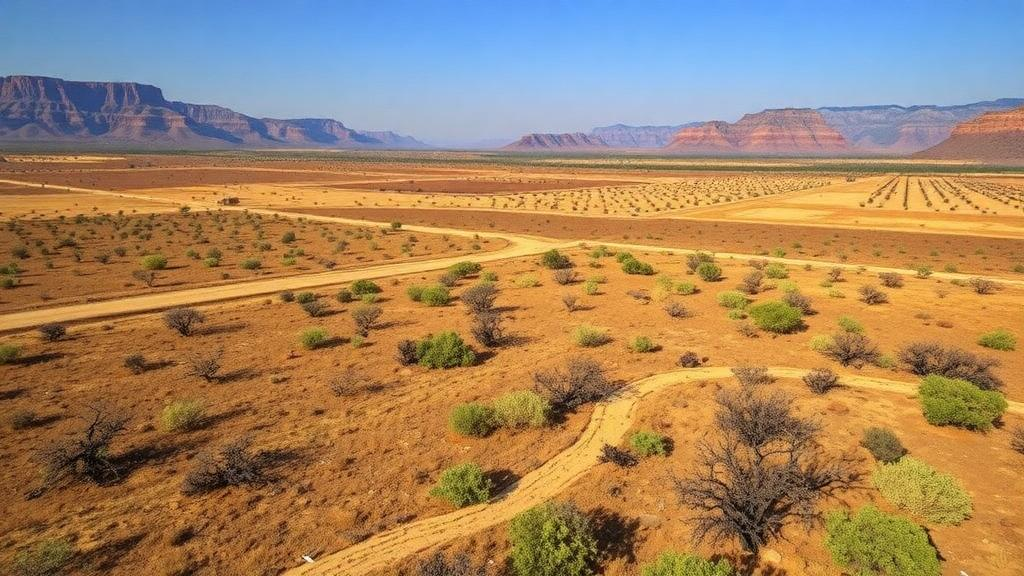
The American West is confronting two escalating hazards at once: a deepening water crisis and a wildfire regime that keeps growing more frequent and more severe. For decades, land managers, hydrologists, and policymakers have treated these challenges largely in isolation, pursuing water conservation on one side of the office and fire mitigation on the other. A new study published in the journal Environmental Research Letters suggests that this separation may be a costly mistake. Led by Austen Lorenz of Aythya Analytics and Beatrice Gordon of the Desert Research Institute, together with colleagues including working fire managers, the research provides the first regional-scale evidence that irrigated cropland acts as a landscape-scale buffer against wildfire — and that the widespread loss of that farmland may be quietly reshaping fire behavior across eleven Western states.
The scale of cropland loss in the region is striking. Over the last forty years, more than four million hectares of farmland have disappeared across the Western United States, retired, converted, or abandoned as drought, water scarcity, and economic pressures reshaped agriculture. Within the specific zones where wildfires and cropland converge, the study found that approximately 10.6 million acres of irrigated land have transitioned to other uses since 1985, an area roughly equivalent to the size of Switzerland. Much of that land has given way to scrubland and other low-lying vegetation that burns more readily than well-watered fields. About twenty percent of the converted acreage was developed into human communities, concentrated around metropolitan areas, introducing new ignition sources and complicating suppression efforts.
To quantify how cropland influences where fires stop, the team assembled an unusually comprehensive dataset: wildfire perimeter records for nearly 10,000 fires spanning 1985 to 2024. By overlaying these perimeters with land-use maps, they could ask a deceptively simple question — when a wildfire reaches a boundary between different land types, where does it tend to halt? The answer was consistent across the region. Compared with wildlands, forests, and urban areas, cropland was significantly less likely to end up inside a burn scar. Across nearly four decades of fire records, cropland was 1.3 to 5 times more strongly associated with where fires stopped than other land types, with only barren land performing as an equally effective fire barrier.
The mechanism behind this buffering effect is rooted in basic fire physics. Actively irrigated crops retain substantial moisture in their tissues and in the soil beneath them, raising the fuel moisture content well above the thresholds at which vegetation ignites and carries flame. Moist fuels absorb heat that would otherwise preheat adjacent material, suppressing the spread of fire across the field boundary. Beyond moisture, the geometry of farmland matters: wide, open expanses of low-stature vegetation lack the vertical continuity that allows flames to climb into shrubs and tree canopies. These open spaces also serve a tactical role during active incidents, offering staging points for firefighters and equipment in landscapes where access can otherwise be dangerously limited.
The buffering effect is strongest where irrigation schedules overlap with fire season, a pattern the researchers observed in some of the West’s most productive agricultural regions: California’s Central Valley, Washington’s Columbia Basin, and Idaho’s Snake River Plain. In these landscapes, peak water application coincides with the hottest, driest months, meaning fields are at their most fire-resistant precisely when the surrounding wildlands are at their most flammable. Satellite imagery from the study makes the pattern visually unmistakable, with irrigated fields appearing as unburned red islands within blackened fire perimeters.
For Gordon, a hydrologist whose work has long focused on agricultural water use, the findings reframed her own discipline. Water researchers tend to concentrate on how much water crops consume and how much can be saved by reducing or changing production in drought-stricken areas, she explained, but far less attention has gone to what happens after the land use changes. Collaborating with wildfire managers made clear that drought adaptation strategies which alter cropland can influence how fire moves through the landscape. In her words, out in the West, there is no longer the luxury of thinking about just one hazard at a time. The study’s central argument is that water conservation and wildfire risk reduction should be managed jointly rather than in isolation.
This matters because the most widely used water-saving strategies are precisely the ones that remove irrigated land from production. Targeted and voluntary idling of cropland is a practical, politically feasible tool for reducing agricultural water demand, and it has been deployed repeatedly during drought emergencies. But the new analysis shows that removing cropland eliminates its fire-buffering advantages regardless of what the land becomes next, whether that is dry scrub, grassland, or suburban development. A field retired to save water in one year may become a corridor for fire spread in the next, and the tradeoff is rarely accounted for in drought planning documents.
The authors argue that existing institutional machinery could be adapted to close this gap. They propose supporting structures that integrate water and wildfire planning, developing methods to evaluate transition-specific water savings against the wildfire risk they create, and using established agricultural conservation programs as planning platforms. One candidate is the U.S. Department of Agriculture’s Conservation Reserve Program, which already offers financial incentives to landowners who convert environmentally sensitive land out of production. Expanding such programs to weigh fire-buffering value alongside their existing criteria, the researchers suggest, would allow policymakers to identify where retiring farmland delivers the greatest water savings at the lowest cost to community fire resilience.
Gordon emphasized that the findings do not admit a simple answer. The complexity cannot be reduced to slogans like fire is bad or cropland is water intensive, she cautioned, expressing hope that the work can help identify where the trade-offs are steepest when communities face compounding hazards. That nuance is essential for a region where every option carries costs: keeping land in production consumes scarce water, retiring it may accelerate fire spread, and converting it to housing places more people and ignition sources in harm’s way. The goal, the researchers suggest, is not to freeze agricultural land use in place but to make each transition with a clear-eyed view of its consequences for both water budgets and fire behavior.
The study is the first analysis of its kind for the Western United States, but its conclusions align with earlier European research on the fire-buffering value of croplands, lending the findings broader credibility. The team now hopes to extend the work by quantifying wildfire risk for different specific types of cropland conversion, distinguishing, for example, between land that reverts to scrub and land that becomes subdivisions. Such refined projections could give Western communities a practical planning tool for a future defined by both less water and larger, more severe wildfires — a future in which every acre of irrigated farmland may matter not only for food and water, but for the fire lines drawn on the map.
Subject of Research: The tradeoffs between drought adaptation through cropland loss and wildfire resilience in the Western United States
Article Title: Wide-scale cropland loss has consequences for wildfire resilience in the American West, new research finds
Article References: Wide-scale cropland loss has consequences for wildfire resilience in the American West, new research finds. (n.d.). Original publication
Image Credits: AI Generated
DOI: Not provided
Keywords: wildfire, cropland, drought, irrigation, American West, water conservation, land use change, fire behavior, Environmental Research Letters, Desert Research Institute, urbanization, fire resilience
Cite Scienmag News
Russell Cooper. (October 14, 2026). Vanishing Farmland Leaves the American West More Exposed to Wildfire. Scienmag. https://scienmag.com/vanishing-farmland-leaves-the-american-west-more-exposed-to-wildfire/
Russell Cooper. "Vanishing Farmland Leaves the American West More Exposed to Wildfire." Scienmag, 14 October 2026, https://scienmag.com/vanishing-farmland-leaves-the-american-west-more-exposed-to-wildfire/. Accessed 14 October 2026.
Russell Cooper. "Vanishing Farmland Leaves the American West More Exposed to Wildfire." Scienmag. October 14, 2026. https://scienmag.com/vanishing-farmland-leaves-the-american-west-more-exposed-to-wildfire/


