


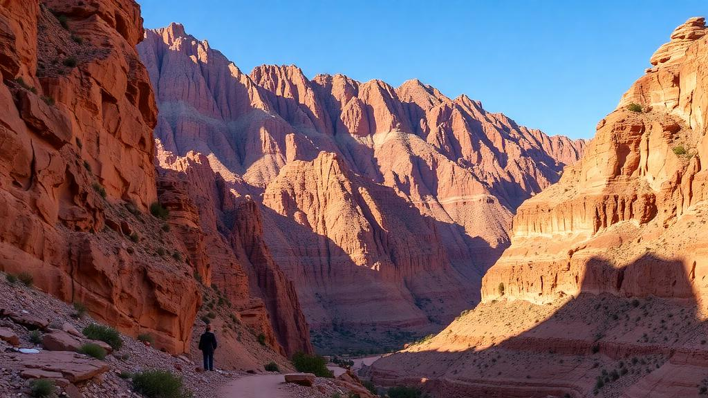
In the rugged heart of southeastern Morocco, where Jurassic limestone towers over the Ziz valley, researchers have turned to artificial intelligence to answer a question that has long relied on boot leather and intuition: where, exactly, are the best places to climb? A new study published in Discover Geoscience used two machine learning classifiers to map potential mountain climbing sites across the Eastern High Atlas, revealing that roughly fifteen to nineteen percent of the study area may be highly suitable for the sport. The work, led by Mohamed Manaouch of Ibn Tofail University together with colleagues at Cadi Ayyad University and the University of Silesia in Katowice, offers one of the first systematic, algorithm-driven inventories of climbing terrain in the semi-arid Atlas range, and it could reshape how regional planners approach geotourism in one of North Africa’s most dramatic landscapes.
The research team focused on the upper Ziz area, a catchment whose elevations sweep from about 1,023 meters to 3,687 meters above sea level and whose slopes range from nearly flat ground to cliffs pitched at more than 66 degrees. The region sits within thick Jurassic sequences of calcareous, marly-calcareous, and marly rocks folded by ancient tectonic forces, producing the deep gorges, escarpments, and jagged summits that define the High Atlas. A semi-arid climate governs the area, with mean annual precipitation between 119 and 377 millimeters and temperatures averaging between 10.2 and 19.2 degrees Celsius. These conditions have carved a landscape of canyons and cliff bands that already attract climbers, particularly near well-known destinations such as the Tinghir gorges and the cliffs of Azilal, yet much of the terrain remains undocumented from a climbing perspective.
Traditional approaches to evaluating geomorphosites, the landforms valued for their geological and recreational significance, typically depend on quantitative scoring systems, semi-quantitative checklists, or hybrid qualitative-quantitative frameworks. While these methods have produced valuable inventories across Morocco and beyond, they are labor-intensive, demand extensive field campaigns, and can be impractical in remote mountain environments where access is limited to dirt tracks. The researchers argued that geographic information systems combined with machine learning algorithms offer a faster and cheaper alternative, capable of ranking terrain across an entire watershed without exhaustive surveying. Their study therefore set out to test whether two widely used classifiers, logistic regression and support vector machines, could reliably predict where climbing sites are likely to occur based purely on topographic evidence.
Building the training data required a careful inventory campaign. The team compiled a database of 120 mountain climbing sites and 120 non-climbing sites, drawing on field visits, Google Earth satellite imagery, consultations with local communities, and previous studies of the region. Each location was characterized using three topographic parameters derived from a 30-meter-resolution digital elevation model obtained from the United States Geological Survey: altitude, slope angle, and slope length. Before modeling, all spatial layers were reprojected to a common coordinate system, resampled to a uniform resolution, reclassified into ordered suitability categories, and normalized to a common scale between 0.1 and 0.9 so that no single variable would dominate the algorithms simply because of its units. Spatial processing was performed in ArcGIS 10.5, statistical analysis in IBM SPSS Statistics 26, and machine learning modeling in Weka 3.8.5.
The choice of only three conditioning factors was deliberate rather than an oversight. Lithology, though clearly relevant to climbing, was excluded because detailed lithological data at the required spatial resolution were unavailable for the study area. Land use and land cover were omitted because the region is dominated by degraded forest and pasture with only narrow agricultural strips along the Oued Ziz, a near-homogeneous cover that offers almost no discriminating power between candidate sites. Accessibility was not fed into the models either, but the researchers overlaid a one-kilometer buffer around the road network onto their final suitability maps to highlight which promising zones are actually reachable. The road network, they noted, consists mainly of a single national road linking Midelt to Errachidia and a regional road connecting Er-Rich to Imilchil, with everything else reduced to unpaved tracks, a significant logistical constraint for any future climbing development.
Statistical evaluation of the three factors revealed a clear hierarchy of influence. Using Weka’s CorrelationAttributeEval, the team found that slope angle contributed the most predictive power at 58 percent, followed by elevation at 50 percent, while slope length lagged at 21 percent. The frequency ratio analysis sharpened this picture: more than 80 percent of the inventoried climbing sites fell within the 2,300-to-2,900-meter altitude band, with the 2,300-to-2,600-meter class showing the strongest association at a frequency ratio of 7.60. For slope, sites steeper than 60 degrees carried the highest ratio of 9.58, and over 90 percent of all recorded climbing locations occurred on slopes exceeding 30 degrees. Pearson’s correlation testing confirmed that the three factors were sufficiently independent to be used together, satisfying a key prerequisite for both classifiers.
The two algorithms then processed the data in a structured three-stage protocol. The 240-site database was randomly split into a 70 percent training set and a 30 percent test set before any model fitting. Ten-fold cross-validation on the training data tuned the models and estimated their performance, after which the finalized models were applied to the held-out test set to measure generalizability. The support vector machine, which works by finding an optimal hyperplane that separates climbing from non-climbing locations while maximizing the margin between them, achieved a cross-validation area under the curve of 0.82, settling at 0.754 on independent validation. Logistic regression, a generalized linear model that estimates the probability of site occurrence from the topographic predictors, posted a training AUC of 0.801 that declined to 0.711 during validation. The support vector machine’s edge, the authors suggested, stems from its capacity to capture non-linear relationships among terrain variables, an advantage in the structurally complex Atlas terrain where linear models are fundamentally constrained.
Translated into maps, the models painted a consistent picture of where the region’s climbing potential concentrates. The logistic regression model identified highly suitable terrain covering 15.18 percent of the study area, while the support vector machine flagged 19.21 percent, with the index values ranging up to nearly 1.0 on the normalized scale. In both cases, the most promising zones clustered in the western portion of the study area, characterized by rugged topography, short and steep slopes, and high altitudes. The predicted suitable locations overlapped substantially with geomorphosite areas identified in earlier studies of the same watershed, particularly in the west, an encouraging sign that the algorithms were capturing real geological structure rather than statistical noise. When the road buffer was applied, however, it became clear that many of the highest-rated zones lie far from paved access, underscoring the gap between physical suitability and practical developability.
The authors were candid about the limits of their approach. The 30-meter digital elevation model, while freely available and widely used, smooths away fine-scale features such as narrow ridges, small rock faces, and micro-topographic variations that can make or break a climbing route; boulders tens of meters high, ideal for bouldering, simply cannot be resolved at this scale. Rock stability, a decisive factor for climber safety, could not be included because no suitable data exist for the area. The team also acknowledged potential spatial autocorrelation in the validation process and cautioned that their findings should not be generalized to other geomorphological settings, such as the Himalayas or coastal Thailand, without comparable local studies using sub-meter-resolution elevation data. Field verification, they stressed, remains essential before any mapped zone is opened to climbers.
Even with those caveats, the study signals a shift in how adventure tourism might be planned in data-poor mountain regions. Interest in climbing among Moroccan nationals has been rising visibly, with cliffs near Azilal and the gorges of Tinghir drawing crowds thanks to their proximity to Marrakech and Ouarzazate. A validated, algorithm-generated suitability map gives decision-makers a starting point for prioritizing sites, directing infrastructure investment, and balancing tourism promotion against conservation of fragile geoheritage. The researchers suggest that future work should incorporate additional geo-environmental variables such as geology, land cover, and access, apply spatially explicit validation strategies, and test ensemble or hybrid algorithms to push accuracy further. For now, the message from the High Atlas is clear: some of Morocco’s next great climbing walls may already be hiding in the data, waiting for a machine to point the way.
Subject of Research: Machine learning-based geospatial modeling of potential mountain climbing sites in the semi-arid Eastern High Atlas of Morocco
Article Title: Geospatial modeling of potential climbing sites in the semi-arid mountains of Morocco using machine learning
Article References: Manaouch, M., Rhoujjati, N., Pham, Q. B., & Rhoujjati, A. (2026). Geospatial modeling of potential climbing sites in the semi-arid mountains of Morocco using machine learning. Discover Geoscience, 4(1), Article 294. https://doi.org/10.1007/s44288-026-00676-2
Image Credits: AI Generated
DOI: 10.1007/s44288-026-00676-2
Keywords: machine learning, geotourism, geodiversity, High Atlas, Morocco, GIS, support vector machine, logistic regression, digital elevation model, geomorphosites, mountain climbing, spatial modeling
Cite Scienmag News
Teresa Odom. (October 11, 2026). Machine Learning Maps Hidden Climbing Paradise in Morocco’s Atlas Mountains. Scienmag. https://scienmag.com/machine-learning-maps-hidden-climbing-paradise-in-moroccos-atlas-mountains/
Teresa Odom. "Machine Learning Maps Hidden Climbing Paradise in Morocco’s Atlas Mountains." Scienmag, 11 October 2026, https://scienmag.com/machine-learning-maps-hidden-climbing-paradise-in-moroccos-atlas-mountains/. Accessed 11 October 2026.
Teresa Odom. "Machine Learning Maps Hidden Climbing Paradise in Morocco’s Atlas Mountains." Scienmag. October 11, 2026. https://scienmag.com/machine-learning-maps-hidden-climbing-paradise-in-moroccos-atlas-mountains/


