


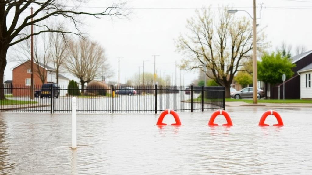
Floods are among the costliest natural hazards on Earth, and the question that haunts every river engineer and budget official is deceptively simple: will the levee, the detention basin, or the early-warning system we are about to fund actually reduce the risk enough to justify its cost? A team at the Technical University of Munich has now built a computational framework designed to answer that question with an honesty that has long been missing from flood planning. Writing in the journal Natural Hazards and Earth System Sciences, Mara Ruf, Amelie Hoffmann, and Daniel Straub present a dynamic probabilistic flood risk model that quantifies the benefit of flood mitigation measures while explicitly accounting for the uncertainties that pervade every step of the flood process, from rainfall to ruined furniture.
The motivation is rooted in painful history. The catastrophic Central European flood of 2002, which caused an estimated 22.6 billion euros in direct damages, remains the most expensive natural hazard event ever recorded in Germany, and it exposed the limits of traditional flood protection thinking. Subsequent floods in 2013, 2021, and 2024 reinforced the lesson: absolute safety against flooding is unattainable, dikes can fail even below their design standards, and local protection measures can shift hazard downstream rather than eliminate it. In response, the field has been moving from regulation-based design toward integrated flood risk management, in which the entire spectrum of possible flood events is assessed probabilistically and investments are weighed against the risk reduction they deliver.
The Munich framework addresses three persistent challenges at once. First, it adopts a system-based perspective at river scale, dynamically coupling the components of the flood process chain, including downstream flood wave propagation and possible dike failures, rather than treating them as static, independent layers. Second, it embeds the risk calculation in a benefit-cost decision framework, estimating flood risk both with and without a given mitigation measure. Third, and perhaps most distinctively, it separates aleatory uncertainty, the irreducible randomness of nature, from epistemic uncertainty, the gaps in knowledge and model imperfection that better data could in principle reduce. This separation is achieved through a two-level Monte Carlo architecture, a statistical design that allows decision-makers to see not just a single risk number but a distribution of plausible risks and the sensitivity of conclusions to each uncertain input.
Computational efficiency is the engine that makes all of this possible. Traditional large-scale flood risk models face a brutal trade-off between process fidelity, spatial extent, and uncertainty analysis: coupling high-resolution hydrodynamic simulations with thousands of Monte Carlo runs would take prohibitive amounts of time. The Munich team sidestepped this by replacing runtime coupling with pre-processed surrogates and lookup tables. The model comprises five modules, covering hydrological load, dike failure, hydrodynamics, inundation, and damage, and the central simulation runs in an average of just 0.76 seconds per sample on an ordinary desktop processor. That speed enabled a staggering 720,000 Monte Carlo simulation runs in the case study, something unthinkable with conventional coupled models.
The dike failure module illustrates the technical sophistication involved. Dikes can fail through hydraulic erosion during overtopping, geohydraulic uplift driven by piping in the foundation, or global static instability from internal seepage. The researchers built on limit state functions developed by Vorogushyn, comparing the stress acting on a dike with its resistance, both treated as random variables, and evaluated these through Monte Carlo simulation to produce fragility functions. In each simulation run, a breach resistance value is sampled for every dike segment by inverse transform sampling from the fragility function, and breach widths are drawn from a lognormal distribution. Because the Bavarian Danube was discretized into 1,784 river segments of 300 to 600 meters, the model can represent breaches at essentially any location along the river, capturing the so-called levee effect in which a failure near a densely populated area produces catastrophic damage.
Perhaps the most elegant innovation is the vector-based flood routing scheme. When a dike breaches or a detention basin activates, the resulting reduction in discharge propagates downstream, and ignoring this effect can badly overestimate downstream hazard. Instead of running a full 1D hydrodynamic model at every Monte Carlo step, the team derived translational and attenuation vectors from a set of pre-computed hydraulic simulations with artificial discharge reductions. The translational vector captures the mean travel time of a discharge reduction to each downstream segment, while the attenuation vector spreads the reduction over a symmetric temporal window that preserves the total reduction volume. When tested against an independent set of 40 hydraulic simulations, the vector-based approach showed low differences in peak discharge, timing, and water level compared with the full 1D model, especially when measured against the much larger discrepancy between 1D and 2D simulations.
The team demonstrated the framework on roughly 380 kilometers of the Bavarian Danube, a river whose hydrology is shaped by Alpine tributaries including the Iller, Lech, Isar, and Inn, and which flows past major industrial centers such as Ingolstadt and Regensburg. The test case evaluated a controlled detention basin near Riedensheim, which can store around 8 million cubic meters of floodwater with a maximum intake capacity of 170 cubic meters per second. The basin activates only when a 100-year flood is exceeded, diverting water into the polder to attenuate the flood wave and relieve downstream defenses. Flood scenarios were drawn from the ClimEx project, which produced 3,500 years of climate-based precipitation simulations under the RCP8.5 emission scenario, from which 72 flood events exceeding the 100-year threshold were identified and routed through the river network.
The results carry a message that should resonate far beyond Bavaria. The uncertainty in the individual loss exceedance curves, with and without the detention basin, is large, but the two curves are highly correlated because most uncertainties affect damages in both scenarios in the same way. As a consequence, the uncertainty in the risk reduction itself, the benefit of the measure, is far smaller than the raw curves would suggest, with a coefficient of variation of 25 percent. This correlation effect is a genuine insight for benefit-cost analysis: it means that even under deep uncertainty, the relative value of a mitigation measure can be estimated with usable confidence. The sensitivity analysis added another striking finding: uncertainties in the damage module, particularly for river sections rather than dike segments, dominate the variance in annual flood risk, echoing earlier work showing that the choice of damage model matters more than the parameters of the hydraulic models themselves.
The scenario analysis also probed the shadow of climate change. When the team linearly increased the flood occurrence rate by factors of two and three toward the year 2120, the expected benefit of the detention basin grew, since more frequent extreme events mean the basin is activated and useful more often, but the uncertainty surrounding that benefit widened as well. The authors are careful to note that their contribution is methodological rather than a definitive risk assessment for the Danube, and the preliminary case-study numbers remain confidential pending further work on climate inputs. They also acknowledge limitations: the model neglects flow velocity and inundation duration in damage estimation, cannot evaluate nature-based solutions that alter runoff generation, and does not yet explicitly model tributaries, though the modular design would allow high-resolution 2D simulations to be slotted in for locally acting measures.
What makes this work genuinely exciting is its scalability and its philosophy. Because runtime scales approximately linearly with the number of river segments, extending the model from the Bavarian Danube to the entire 2,850-kilometer river, which crosses ten countries, would increase computation by no more than a factor of ten, opening the door to the kind of cross-border, system-level flood management that decades of research have advocated but practice has rarely delivered. The main code has been released openly on GitHub and archived on Zenodo, inviting other catchments to adapt the workflow. As extreme floods intensify in a warming climate and public budgets tighten, a tool that tells decision-makers not only how much risk a measure removes but how confident we can be in that estimate, and which uncertainties are worth investing in to learn more, may prove as valuable as any concrete wall along a riverbank.
Subject of Research: Probabilistic fluvial flood risk modeling for quantifying the benefit of flood mitigation measures under aleatory and epistemic uncertainty
Article Title: A fluvial flood risk model for quantifying the benefit of mitigation measures under uncertainty
Article References: Ruf, M., Hoffmann, A., & Straub, D. (2026). A fluvial flood risk model for quantifying the benefit of mitigation measures under uncertainty. Natural Hazards and Earth System Sciences, 26(9), 4549-4568. https://doi.org/10.5194/nhess-26-4549-2026
Image Credits: AI Generated
DOI: 10.5194/nhess-26-4549-2026
Keywords: flood risk, fluvial flooding, Monte Carlo simulation, dike failure, detention basin, uncertainty quantification, benefit-cost analysis, Bavarian Danube, flood routing, fragility functions, flood damage assessment, risk management
Cite Scienmag News
Violet Maxwell. (October 10, 2026). New Flood Risk Model Puts a Price Tag on Flood Defenses Under Uncertainty. Scienmag. https://scienmag.com/new-flood-risk-model-puts-a-price-tag-on-flood-defenses-under-uncertainty/
Violet Maxwell. "New Flood Risk Model Puts a Price Tag on Flood Defenses Under Uncertainty." Scienmag, 10 October 2026, https://scienmag.com/new-flood-risk-model-puts-a-price-tag-on-flood-defenses-under-uncertainty/. Accessed 10 October 2026.
Violet Maxwell. "New Flood Risk Model Puts a Price Tag on Flood Defenses Under Uncertainty." Scienmag. October 10, 2026. https://scienmag.com/new-flood-risk-model-puts-a-price-tag-on-flood-defenses-under-uncertainty/


