


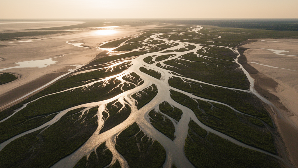
For nearly two centuries, geologists have read the shape of the land as a diary of the processes that wrote it. Curving ridges, branching channels, and bowl-shaped hollows all encode information about how soil creeps, landslides roar downhill, and rivers carve bedrock. Yet the basic mathematical toolkit used to extract that information has quietly been flawed: most studies compute slope and curvature on flat map projections of the terrain rather than on the true three-dimensional surfaces that water and sediment actually experience. A new study published in Earth Surface Dynamics by Nathaniel Klema of Fort Lewis College and the University of Oregon, together with Leif Karlstrom and Joshua Roering of the University of Oregon, shows that fixing this old shortcut reveals a strikingly organized structure in one of the most studied landscapes in the United States.
The team turned to classical differential geometry, the branch of mathematics pioneered by Carl Friedrich Gauss in the 1820s, to treat digital elevation models not as neat grids of numbers but as irregularly spaced samples of a curved surface embedded in three-dimensional space. On a steep mountainside, the map-view distance between neighboring grid cells is not the true distance along the ground, and perpendicular map lines become skewed and unequal when projected onto the tilted surface. Ignoring these distortions introduces systematic errors, and the study shows those errors are largest exactly where geomorphologists care most: on steep hillslopes, where curvature metrics feed directly into estimates of erosion rates.
At the heart of the approach are two numbers that fully describe the local shape of any surface at a point: the mean curvature and the Gaussian curvature. Mean curvature, an extrinsic quantity, tells whether the surface is predominantly concave up, like a basin collecting water, or concave down, like a dome shedding it. Gaussian curvature, an intrinsic quantity that does not depend on how the surface sits in space, distinguishes dome- and basin-like points from saddle points, where the surface curves upward in one direction and downward in the perpendicular one. Together, the signs of these two invariants sort every pixel of a landscape into one of four shape classes: domes, basins, and two kinds of saddles. This classification echoes ideas proposed in the mid-nineteenth century by Arthur Cayley and James Clerk Maxwell, who argued from topographic contours that every landscape is stitched together from alternating summits and passes, dales and bars.
To make these calculations reliable on real topographic data, the researchers first smoothed an 8.1-meter-resolution elevation model from the Oregon Coast Range using a discrete Fourier transform with a carefully designed tapering window that preserves the spectral power of landscape features within the study area. Tests across filter cutoffs from 50 to 500 meters showed that the qualitative structure of the landscape’s geometry is robust, while the strongest signals in Gaussian curvature appeared at a cutoff of 200 meters, hinting at a characteristic curvature scale in the terrain. All subsequent analysis used this 200-meter smoothing, which resolves features spanning hillslope and channel scales.
The study area, a suite of roughly ten-square-kilometer basins near Reedsport, Oregon, is carved into the uniform Eocene sandstones of the Tyee Formation and has long served as the archetypal example of a steady-state landscape, where erosion and rock uplift balance. That simplicity makes it an ideal proving ground. When the researchers binned their curvature metrics by upstream drainage area, a variable that underpins most empirical scaling laws in fluvial geomorphology, the landscape broke into four clean domains separated by sign changes of the Gaussian curvature, each corresponding to a well-known process regime.
The smallest drainage areas, covering about 18 percent of the surface, form the ridge-and-peak network, dominated by domes and ridges where gradients diverge and diffusive soil transport rules. The next domain is the largest and most dramatic: nearly 57 percent of the land area sits in a narrow band of drainage areas where Gaussian curvature turns negative, slopes peak, and mean curvature crosses zero. This is the great concavity transition of the landscape, where material moves downslope through landsliding, granular creep, and raveling rather than steady diffusion. Above that, a third domain of basins and synformal saddles marks colluvial hollows where sediment gathers at the heads of debris-flow networks, before a final, spatially tiny domain of true fluvial channels takes over at drainage areas beyond roughly 380,000 square meters.
Perhaps the most eye-catching result is a symmetry in mean curvature. When the landscape is split at the single inflection point of mean curvature in area space, the resulting concave-up and concave-down halves mirror each other: slope and Gaussian curvature distributions are nearly identical between the two halves, while mean curvature distributions are mirror images, so the landscape-wide integrated mean curvature is approximately zero. Concave and convex elements are effectively equipartitioned, forming complementary branching structures, channels and ridges, that span the entire terrain. The team hypothesizes that this balance is a geometric fingerprint of steady-state fluvial topography, and that shifts in the threshold drainage areas could signal landscapes knocked out of equilibrium by tectonic or climatic perturbation.
Zooming in on a single channel and its flanking ridge along Franklin Creek revealed still finer structure. Local minima in the principal curvatures line up with tributary junctions along the channel and sit directly upslope of first-order channel heads on the ridge, meaning the alternating basins and saddles along these networks mark real structural transitions in how water and sediment are routed. Remarkably, standard process models, such as stream-power incision laws for channels and power-law profiles for ridges, capture the average curvature of both structures within about 7 percent, even though they miss the small-scale oscillations entirely.
The work also quantifies just how much conventional map-view methods get wrong. Compared with the invariant calculations, the common Laplacian approximation of curvature suffers around 20 percent error on steep ridge lines, the widely used D8 slope algorithm deviates systematically by up to roughly 35 percent on ridges and more than 20 percent in channels, and map-view drainage areas underestimate true surface drainage area by 10 to 15 percent across most of the landscape. In the steep hillslope domain that covers most of the terrain, differences in curvature reach about 50 percent, errors large enough to matter for studies that infer erosion rates or tectonic signals from topographic form.
The researchers suggest their framework could extend well beyond the Coast Range, from identifying colluvial hollows for hazard prediction to reading curvature signatures in glacial, volcanic, and debris-flow-dominated terrains where conventional slope-area methods break down. Applied to high-resolution lidar and structure-from-motion datasets, the same tools could resolve features as small as step-pool morphology in steep channels, and curvature’s role in shaping shallow rock stress and groundwater flow connects the method to critical zone science. What began as a mathematical housecleaning, computing geometry on true surfaces rather than their projections, has ended up exposing a deep and elegant order in the branching architecture of a mountain landscape, one that Gauss would likely have appreciated.
Subject of Research: Applying discrete differential geometry to quantify curvature and shape-class structure of fluvial topography in the Oregon Coast Range
Article Title: Discrete differential geometry of fluvial landscapes
Article References: Klema, N., Karlstrom, L., & Roering, J. (2026). Discrete differential geometry of fluvial landscapes. Earth Surface Dynamics, 14(3), 493-515. https://doi.org/10.5194/esurf-14-493-2026
Image Credits: AI Generated
DOI: 10.5194/esurf-14-493-2026
Keywords: geomorphology, differential geometry, digital elevation models, curvature, fluvial landscapes, Oregon Coast Range, drainage area, erosion, landslide, channel networks, surface processes, landscape evolution
Cite Scienmag News
Violet Maxwell. (October 9, 2026). Classic Geometry Gives River Landscapes a Hidden Order. Scienmag. https://scienmag.com/classic-geometry-gives-river-landscapes-a-hidden-order/
Violet Maxwell. "Classic Geometry Gives River Landscapes a Hidden Order." Scienmag, 9 October 2026, https://scienmag.com/classic-geometry-gives-river-landscapes-a-hidden-order/. Accessed 9 October 2026.
Violet Maxwell. "Classic Geometry Gives River Landscapes a Hidden Order." Scienmag. October 9, 2026. https://scienmag.com/classic-geometry-gives-river-landscapes-a-hidden-order/


