


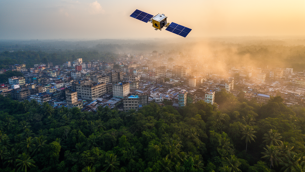
In the humid northeast corner of Bangladesh, a landscape famous for its tea gardens, monsoon-soaked wetlands and subtropical forests is quietly undergoing one of the most dramatic thermal transformations in South Asia. A new geospatial study of Sylhet Division, published in Discover Geoscience, has tracked thirty years of land cover change and found that the region’s coolest surfaces have all but vanished, while zones hotter than 30 degrees Celsius—entirely absent in 1994—now sprawl across more than 19,000 hectares. The findings offer one of the most detailed portraits yet of how unplanned urbanization in an ecologically fragile tropical region can rewrite the thermal map of an entire landscape.
The research team, led by scientists at the University of Dhaka with collaborators in the United States, analyzed Landsat satellite imagery from 1994, 2004, 2014 and 2024, covering the four districts of Sylhet, Sunamganj, Maulvibazar and Habiganj. Using an unsupervised classification algorithm known as ISODATA, they grouped the satellite pixels into five major land use and land cover categories, then refined their analysis with two spectral indices: the normalized difference vegetation index, or NDVI, which tracks the health and density of green vegetation, and the normalized difference water index, or NDWI, which distinguishes surface water from dry land. The results were stark. Settlement areas expanded by 191.75 percent over the three decades, while forest cover declined by 25.65 percent, a shift the authors attribute to intensified deforestation and the conversion of wooded land into agriculture, infrastructure and housing.
What makes the study unusual among urban heat island investigations in Bangladesh is its insistence on ground truth. Most satellite-based studies of land surface temperature rely on remote data alone, but the researchers took a Eurolab ST9269 thermometer into the field, inserting its probe 1.2 to 2.5 centimeters into the soil at 100 observation points spread across different land cover types. Each location was logged with a handheld GPS. When the field measurements were compared with the satellite-derived temperatures, the agreement was strong: the classification achieved an overall accuracy of 89 percent with a Kappa coefficient of 0.86, and the correlation between field and satellite temperatures yielded a coefficient of determination of 0.80. The root mean square error of about 3.5 degrees and a mean absolute error of 3.12 degrees suggested consistent, modest deviations rather than wild outliers, likely stemming from atmospheric variability and the inherent differences between near-surface probe readings and radiometric measurements from orbit.
The temperature story that emerges from the satellite record is remarkable in its trajectory. In 1994, the coolest thermal class, below 20 degrees Celsius, dominated the division, covering roughly 1.1 million hectares. By 2024, that class had disappeared entirely. Meanwhile, the 25 to 27.5 degree band, which occupied a mere 638 hectares in 1994, ballooned to nearly 489,000 hectares by 2024. The 27.5 to 30 degree class grew from just 129 hectares to more than 218,000 hectares over the same period. The hottest categories, above 30 degrees, first appeared in 2014 and continued to expand through 2024, covering more than 16,500 hectares in the 30 to 32.5 degree range and nearly 2,600 hectares above 32.5 degrees. In effect, the entire thermal distribution of the region has shifted upward, with cooler surfaces progressively converted into mid-range and high-temperature zones.
To examine the urban heat island effect in detail, the team focused on four administrative centers, or Sadar Upazilas: Sylhet, Habiganj, Maulvi Bazar and Sunamganj. In 1994, none of them showed any sign of heat island formation, with dominant temperatures well below 20 degrees. By the mid-2000s, however, the 25 to 27.5 degree class began expanding around urban cores, marking the first emergence of localized heat islands near places like Dhopagul, Sylhet Airport and Shahjalal Upashahar. By 2024, the warming had intensified and spread outward into neighborhoods such as Haldarpara, Jalalabad and the Stadium Area in Sylhet Sadar, where surface temperatures reached 32.5 degrees. Similar patterns unfolded in the other three districts: Maulvi Bazar Sadar saw zones above 30 degrees grow to nearly 900 hectares, Sunamganj Sadar recorded a small but critical patch exceeding 32.5 degrees, and Habiganj Sadar developed its own hotspots around Shaistaganj and Keshabpur. In every case, the coolest temperature classes contracted dramatically, in some instances from tens of thousands of hectares to only a few thousand.
The statistical heart of the study lies in a Pearson correlation analysis of 18 variables spanning four decades of data. The results quantify with unusual precision what urban climatologists have long suspected. Built-up and agricultural surfaces showed strong positive correlations with the highest temperature classes, with coefficients ranging from 0.92 to 0.98 for settlement areas. Forests and water bodies, by contrast, displayed strong negative correlations with the same hot zones, ranging from minus 0.89 to minus 1.00. The vegetation and water indices reinforced the pattern: areas rich in greenery and surface moisture consistently corresponded to lower thermal loads. The researchers also observed a perfect negative correlation between forest greenness and agricultural or mixed land dominance, suggesting a kind of mutual exclusivity in how the landscape is partitioned—as one expands, the other is suppressed.
From a biophysical standpoint, these correlations reflect fundamental changes in how the land exchanges energy with the atmosphere. Vegetated surfaces and water bodies act as thermal regulators through evapotranspiration and their high heat capacity, absorbing solar energy as latent heat rather than raising surface temperatures. Concrete, asphalt and bare soil do the opposite: they store heat during the day and release it slowly at night, amplifying sensible heat flux and suppressing the cooling processes that natural surfaces provide. As Sylhet’s settlements and farmland replaced forests and wetlands, the division’s capacity to buffer heat eroded, and the surface energy balance tipped decisively toward warming. The study describes this as a feedback loop in which urban expansion intensifies thermal stress, which in turn influences further land conversion patterns.
The findings align with a growing body of evidence from across Bangladesh and South Asia. Previous studies in Dhaka, Chittagong, Rajshahi, Khulna and Rangpur have documented similar linkages between impervious surface expansion and rising land surface temperature, and comparable dynamics have been reported in Cox’s Bazar, Gazipur and the Sylhet Sadar region itself. What sets the new research apart is its division-wide scope and its integration of field validation, which the authors argue makes the framework transferable to other rapidly urbanizing and ecologically sensitive regions. They acknowledge certain limitations, including the coarse spatial resolution of Landsat imagery, minor seasonal effects from varying acquisition dates within the dry season, and the use of unsupervised rather than machine learning-based classification, which can blur spectrally similar land cover types such as bare land and fallow fields.
The policy implications are urgent for a region where settlements are encroaching on haors, wetlands and forested hillocks. The authors call for climate-sensitive zoning, the preservation of remaining wetlands, riparian corridors and forest patches as critical cooling infrastructure, and the expansion of urban green cover through tree planting and green corridors to offset rising temperatures. They also recommend future research incorporating higher-resolution data from Sentinel satellites or drones, machine learning classification techniques, and urban climate modeling coupled with socioeconomic variables to anticipate how heat islands will expand under different development scenarios. For now, the message from three decades of satellite observations is unambiguous: when a landscape loses its forests and water, it loses its thermostat, and Sylhet Division is feeling the heat.
Subject of Research: Land cover change, land surface temperature dynamics, and urban heat island formation in Sylhet Division, Bangladesh, assessed through geospatial analysis of Landsat imagery from 1994 to 2024.
Article Title: Evaluating the transformation of land cover, land surface temperature, and urban heat island in Sylhet Division through geospatial analysis
Article References: Joy, M. F. R., Rahim, M. A., Rahman, M. M., Preota, S. A., & Hossain, M. M. (2026). Evaluating the transformation of land cover, land surface temperature, and urban heat island in Sylhet Division through geospatial analysis. Discover Geoscience, 4(1), Article 306. https://doi.org/10.1007/s44288-026-00687-z
Image Credits: AI Generated
DOI: 10.1007/s44288-026-00687-z
Keywords: urban heat island, land surface temperature, land use land cover change, Sylhet Division, Bangladesh, Landsat, remote sensing, NDVI, NDWI, deforestation, urbanization, ground validation
Cite Scienmag News
Violet Maxwell. (October 9, 2026). Satellites Reveal Three Decades of Warming as Sylhet’s Forests Give Way to Cities. Scienmag. https://scienmag.com/satellites-reveal-three-decades-of-warming-as-sylhets-forests-give-way-to-cities/
Violet Maxwell. "Satellites Reveal Three Decades of Warming as Sylhet’s Forests Give Way to Cities." Scienmag, 9 October 2026, https://scienmag.com/satellites-reveal-three-decades-of-warming-as-sylhets-forests-give-way-to-cities/. Accessed 9 October 2026.
Violet Maxwell. "Satellites Reveal Three Decades of Warming as Sylhet’s Forests Give Way to Cities." Scienmag. October 9, 2026. https://scienmag.com/satellites-reveal-three-decades-of-warming-as-sylhets-forests-give-way-to-cities/


