


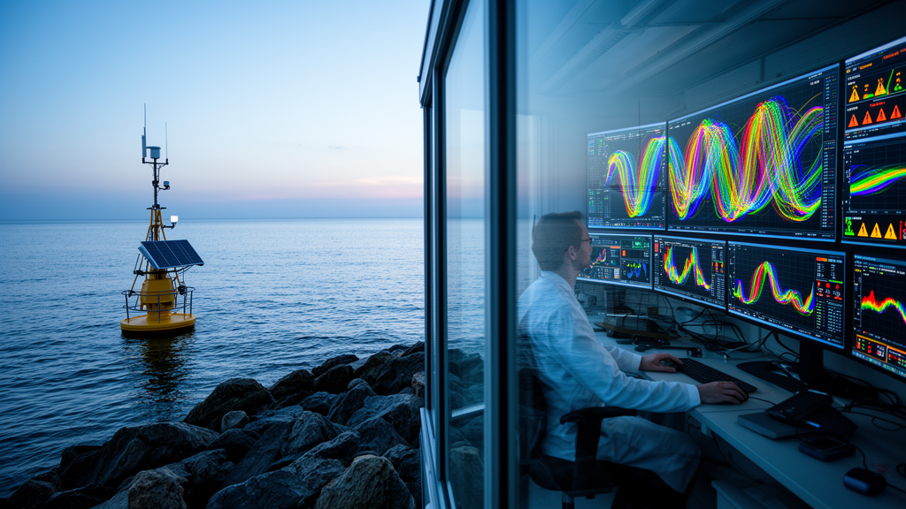
Coastal waters sit at the collision point between land and sea, and they absorb the consequences of everything we do onshore: agricultural runoff, industrial discharge, sewage overflows, and the slow chemical shifts of a warming ocean. Environmental agencies have responded by peppering coastlines with heterogeneous marine sensors measuring temperature, salinity, dissolved oxygen, turbidity, pH, and a growing list of other parameters. The problem is that these instruments produce a torrent of synchronized, nonlinear time-series data that traditional analysis struggles to interpret. A new study published in Theoretical and Applied Climatology by Azath Mubarakali and colleagues at King Khalid University and the University of Bisha in Saudi Arabia proposes an end-to-end deep learning system that reads these multi-sensor streams the way a skilled human analyst would, but at machine speed and with a reported classification accuracy of 97.25 percent.
The core insight behind the research is that marine sensors do not operate in isolation. A drop in dissolved oxygen is rarely an independent event; it is typically entangled with rising water temperature, shifts in salinity, changes in turbidity, and other correlated signals across the sensor network. Conventional statistical approaches and single-sensor machine learning models treat each stream separately or rely on hand-crafted features, and they frequently fail to capture both the multivariate statistical relationships between physically distinct instruments and the long-term temporal dependencies within each stream. Add the realities of field deployment, sensor noise, missing readings, and drift, and the classification problem becomes genuinely difficult.
To address this, the team built a hybrid architecture with three cooperating components, each solving a different part of the problem. The first is a Graph Neural Network, or GNN, which treats the sensor network itself as a mathematical graph. In this representation, each sensor stream becomes a node, and dynamic edges encode the statistical relationships between physically distinct sensors. Crucially, the graph structure is dynamic rather than fixed, meaning the model can update its picture of how sensors relate to one another as conditions change. This allows the GNN to extract relational features, essentially learned summaries of inter-sensor dependencies, that a model looking at each stream independently would simply never see.
The second component is a Gated Recurrent Unit, or GRU, a type of recurrent neural network designed to process sequences. While the GNN answers the question of how sensors relate to each other at a given moment, the GRU answers the question of how conditions evolve through time. It ingests the sequence of successive time windows, each enriched with the GNN’s relational features, and learns the temporal dynamics that distinguish a brief, harmless fluctuation from the early signature of a developing environmental problem. Gating mechanisms inside the GRU allow it to decide which information from previous windows to retain and which to forget, a property that makes it well suited to noisy, real-world environmental data where missing values and outliers are routine.
The final component is a Multi-Layer Perceptron, a straightforward feed-forward network that takes the fused spatiotemporal representation produced by the GNN and GRU and makes the actual decision. The system classifies environmental conditions into four severity levels: Normal, Low, Medium, and High. This graduated scale matters operationally. A binary alarm tells a manager that something is wrong; a four-tier classification tells them how wrong it is, which in turn shapes the urgency and scale of the response, from routine logging to field inspection to emergency intervention.
The researchers trained and evaluated the framework on raw instrument-level readings from the Open Marine Stream dataset, a public collection of multi-sensor marine time series compiled for online anomaly detection research. Working from raw readings rather than pre-cleaned, feature-engineered inputs is a deliberate methodological choice. It means the model must learn to cope with the messiness of real deployments, including inter-sensor relationships, noise, and missing data, rather than benefiting from a curated pipeline that removes those challenges before training begins. That design decision strengthens the argument that the reported performance would transfer to operational monitoring stations.
The experimental results are striking. The integrated GNN-GRU-MLP framework achieved an overall classification accuracy of 97.25 percent, and, just as importantly, the authors report that precision, recall, and F1-scores were balanced across all four severity classes. That balance is not a cosmetic detail. In imbalanced environmental datasets, models often achieve high headline accuracy by performing well on the dominant Normal class while quietly failing on the rare but critical High-severity events. A model that maintains balanced scores across every class is one that can be trusted not to miss the events that matter most, which is precisely the failure mode that has limited earlier machine learning approaches to coastal monitoring.
The broader context makes the work timely. Coastal ecosystems worldwide face mounting pressure from climate change, sea-level rise, eutrophication, harmful algal blooms, and plastic pollution, and recent literature has seen an explosion of AI-driven approaches to marine observation, from satellite-based detection of Sargassum blooms to deep learning forecasts of dissolved oxygen in coastal waters. What distinguishes this study is its focus on in-situ, multi-sensor fusion at the instrument level. Remote sensing offers wide spatial coverage but coarse temporal resolution and can be blocked by cloud cover; buoy-mounted sensors offer fine temporal resolution but limited spatial extent. A framework that intelligently fuses the streams from heterogeneous in-water sensors complements satellite programs and provides the near-real-time situational awareness that decision support systems require.
The practical implications extend across several domains. Aquaculture operators could use four-tier severity classifications to anticipate conditions that stress farmed fish and shellfish before mortality events occur. Municipal authorities could integrate the model into early-warning pipelines for pollution discharge or sewage overflow. Conservation agencies managing protected coastal habitats, from seagrass meadows to mangrove forests, could deploy the framework to detect degradation signals early enough to intervene. Because the architecture learns general temporal-relational representations rather than dataset-specific quirks, the authors argue it has the capacity to generalize across monitoring contexts, though validating that generality on independent coastal deployments remains the natural next step for follow-up research.
There are, of course, the usual caveats that accompany any laboratory-validated machine learning system. Deep models require substantial training data, and sensor networks in resource-limited regions may not yet generate the volume or quality of readings the approach assumes. Graph construction choices, such as how statistical relationships between sensors are quantified and thresholded, will influence performance and deserve sensitivity analysis in future work. Deployment also raises questions of computational cost at the edge, model retraining as sensor hardware ages and drifts, and interpretability for the environmental scientists who must act on the model’s outputs. Still, the study demonstrates that the combination of graph-based relational reasoning and recurrent temporal modeling is a powerful recipe for environmental time-series classification, and it offers coastal managers something they have long lacked: a single, automated system that watches every sensor at once, understands how they speak to each other, and translates their combined signal into a clear, graded verdict on the health of the water.
Subject of Research: Deep learning classification of multi-sensor coastal environmental monitoring time series
Article Title: Utilize deep learning classification of multi-sensor time series data to promote coastal environmental monitoring
Article References: Mubarakali, A., Alqahtani, A. S., Elshafie, H., Changalasetty, S. B., & Al Hanif, A. (2026). Utilize deep learning classification of multi-sensor time series data to promote coastal environmental monitoring. Theoretical and Applied Climatology, 157(9), Article 602. https://doi.org/10.1007/s00704-026-06540-0
Image Credits: AI Generated
DOI: 10.1007/s00704-026-06540-0
Keywords: deep learning, coastal monitoring, graph neural network, GRU, time series classification, water quality, environmental monitoring, multi-sensor fusion, marine sensors, machine learning, decision support, Theoretical and Applied Climatology
Cite Scienmag News
Blake Davidson. (October 9, 2026). Deep Learning Reads the Coast: Graph Networks Turn Raw Sensor Streams into Water-Quality Warnings. Scienmag. https://scienmag.com/deep-learning-reads-the-coast-graph-networks-turn-raw-sensor-streams-into-water-quality-warnings/
Blake Davidson. "Deep Learning Reads the Coast: Graph Networks Turn Raw Sensor Streams into Water-Quality Warnings." Scienmag, 9 October 2026, https://scienmag.com/deep-learning-reads-the-coast-graph-networks-turn-raw-sensor-streams-into-water-quality-warnings/. Accessed 9 October 2026.
Blake Davidson. "Deep Learning Reads the Coast: Graph Networks Turn Raw Sensor Streams into Water-Quality Warnings." Scienmag. October 9, 2026. https://scienmag.com/deep-learning-reads-the-coast-graph-networks-turn-raw-sensor-streams-into-water-quality-warnings/


