


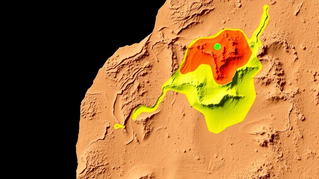
Deep beneath the rocky desert of southern Morocco, a team of geoscientists has combined artificial intelligence with high-resolution airborne magnetic surveys to redraw the structural map of one of the world’s most important cobalt districts. The new study, published in Earth Science Informatics, focuses on the Bou Azzer–El Graara inlier of the Central Anti-Atlas, a geological window onto a Neoproterozoic oceanic suture zone that hosts cobalt, copper, silver and gold mineralization. By training a neural network on a battery of mathematical transformations of magnetic field data and then inverting the same data into a three-dimensional model of magnetic susceptibility, the researchers produced a picture of the region’s fault network that is both sharper and more complete than anything previously assembled for the area.
The Bou Azzer–El Graara inlier occupies a special place in the geology of North Africa. It lies within the Pan-African suture zone, the scar left behind when an ancient ocean closed during the assembly of the West African Craton more than half a billion years ago. The inlier preserves one of the most representative Neoproterozoic ophiolite successions known, a fragment of oceanic crust and mantle rocks thrust onto continental margins during arc–continent collision. These same serpentinite bodies later became the host of the famous cobalt–nickel arsenide ores that have been mined at Bou Azzer for nearly a century, making the district a globally significant source of cobalt and a natural laboratory for studying how ancient plate boundaries control the distribution of metals.
Despite decades of geological mapping, structural analysis and geophysical surveying in the region, no previous study had combined quantitative machine learning classification of magnetic edges with three-dimensional magnetic inversion inside a single multiscale structural framework. That gap is what motivated Ayoub Soulaimani of Morocco’s Directorate of Geology, Mines and Hydrocarbons, Saâd Soulaimani of the Rabat School of Mines, and Abdelhalim Miftah of Hassan First University of Settat to design a four-stage workflow built around high-resolution aeromagnetic data acquired under the Moroccan national airborne survey program. The result is a methodology that turns raw magnetic measurements into a ranked, probability-based map of where hidden structures, and potentially hidden ores, are most likely to lie.
The first stage of the workflow involved computing a suite of potential-field derivatives from the total magnetic intensity data. These included the horizontal gradient, the analytic signal, three orthogonal first-order directional gradients, the tilt derivative, the horizontal gradient of the tilt angle, and a residual map reduced to the pole. Each of these filters emphasizes different aspects of the magnetic field. The horizontal gradient and analytic signal highlight the edges of magnetized bodies, the directional gradients accentuate lineaments oriented in specific azimuths, and the tilt derivative balances the responses of shallow and deep sources so that weak signals from deeply buried contacts remain visible. Together they form a multidimensional description of where the magnetic fabric of the region changes abruptly, which in turn corresponds to lithological boundaries and faults.
Those derivative maps then served as the input features for training a feed-forward artificial neural network, optimized through the Levenberg–Marquardt backpropagation algorithm, a classical and computationally efficient training method for small to medium networks. The researchers tested two weighting schemes for the input data: one in which all derivatives contributed equally, and another in which derivatives known to be especially sensitive to lithological contacts received selective weighting. Both configurations reached an accuracy of roughly 86 percent, and the very similar area-under-the-curve values obtained in the two cases suggested to the authors that the solution is robust rather than an artifact of any particular parameterization. In other words, the network was genuinely learning the structural signature of the region, not merely fitting noise.
The output of the trained network is a set of weighted probability surfaces that quantify, pixel by pixel, the likelihood that a structural discontinuity exists at that location. When compared against existing geological maps, these surfaces reproduced all of the major structural corridors already documented in the Bou Azzer region, providing an independent validation of the approach. More intriguingly, they also revealed zones of structural complexity that had never been mapped before, places where the magnetic fabric implies intersecting fault sets and rotated blocks that surface geology alone had not resolved. It is precisely such corridors of intersecting structures that tend to channel hydrothermal fluids and localize mineralization, which makes the newly identified zones prime candidates for future exploration.
In parallel with the machine learning analysis, the team performed a three-dimensional inversion of the magnetic data over the Foum Zguid dyke zone, one of the most striking magmatic features of the Anti-Atlas. The inversion reconstructed the volume distribution of magnetic susceptibility and allowed the researchers to recover the geometry of the dyke structure down to a depth of about two kilometers. This kind of quantitative depth constraint is rare in regional structural studies and demonstrates how modern inversion algorithms, originally developed for mineral deposit scale problems, can be scaled up to interrogate the deep architecture of entire tectonic corridors.
The final synthesis combined gradient analysis, Euler deconvolution for estimating source depths, the neural network prospectivity results, and the three-dimensional susceptibility model into a single high-resolution structural interpretation. The dominant fault orientations that emerged are north–south and WNW–ESE, a pattern that carries direct geodynamic significance. The north–south set is consistent with structures related to the Pan-African collision and its later reactivation, while the WNW–ESE set aligns with the major shear zones that dissect the Anti-Atlas belt. The study thus links the fine-scale magnetic fabric of the inlier to the broad tectonic evolution of the northern margin of the West African Craton, from Neoproterozoic ocean closure through Paleozoic deformation.
The economic implications are immediate. Bou Azzer remains one of the few operating cobalt arsenide districts in the world, and cobalt has become a strategically critical metal for battery technologies. The cobalt–nickel–arsenic ores at Bou Azzer are hosted in serpentinites along fault-controlled hydrothermal veins, so the identification of previously unrecognized structural corridors directly translates into new underexplored target zones for cobalt, copper, silver and gold. Rather than drilling blindly, exploration geologists can now prioritize the areas where the neural network’s probability surfaces intersect favorable host rocks and where Euler deconvolution indicates structures extending to mineable depths.
Beyond Morocco, the study offers a template that other exploration geologists and structural mappers can adapt. The workflow requires nothing more exotic than a standard aeromagnetic dataset, a set of well-established potential-field filters, and a modest feed-forward neural network, yet it delivers validated structural probability maps and quantitative three-dimensional models in a single coherent framework. As airborne magnetic surveys become cheaper and machine learning tools become more accessible, the approach demonstrated in the Central Anti-Atlas suggests that many of the world’s poorly mapped Precambrian terranes could be re-examined at high resolution, revealing both the deep tectonic history recorded in their magnetic fabrics and the mineral deposits that history has left behind.
Subject of Research: Machine learning analysis of aeromagnetic data for structural mapping and mineral prospectivity in the Moroccan Anti-Atlas
Article Title: Structural and tectonic analysis of the Moroccan Central anti-atlas using predictive targeting with machine learning and inversion of aeromagnetic data: geodynamic and mining implications
Article References: Soulaimani, A., Soulaimani, S., & Miftah, A. (2026). Structural and tectonic analysis of the Moroccan Central anti-atlas using predictive targeting with machine learning and inversion of aeromagnetic data: geodynamic and mining implications. Earth Science Informatics, 19(11), Article 203. https://doi.org/10.1007/s12145-026-02257-w
Image Credits: AI Generated
DOI: 10.1007/s12145-026-02257-w
Keywords: aeromagnetic data, machine learning, artificial neural network, Bou Azzer, Anti-Atlas, Morocco, cobalt mineralization, magnetic inversion, structural geology, Pan-African suture, mineral prospectivity, geophysics
Cite Scienmag News
Blake Davidson. (October 7, 2026). Machine Learning and Magnetic Data Reveal Hidden Faults and Cobalt Targets in Morocco. Scienmag. https://scienmag.com/machine-learning-and-magnetic-data-reveal-hidden-faults-and-cobalt-targets-in-morocco/
Blake Davidson. "Machine Learning and Magnetic Data Reveal Hidden Faults and Cobalt Targets in Morocco." Scienmag, 7 October 2026, https://scienmag.com/machine-learning-and-magnetic-data-reveal-hidden-faults-and-cobalt-targets-in-morocco/. Accessed 7 October 2026.
Blake Davidson. "Machine Learning and Magnetic Data Reveal Hidden Faults and Cobalt Targets in Morocco." Scienmag. October 7, 2026. https://scienmag.com/machine-learning-and-magnetic-data-reveal-hidden-faults-and-cobalt-targets-in-morocco/


