


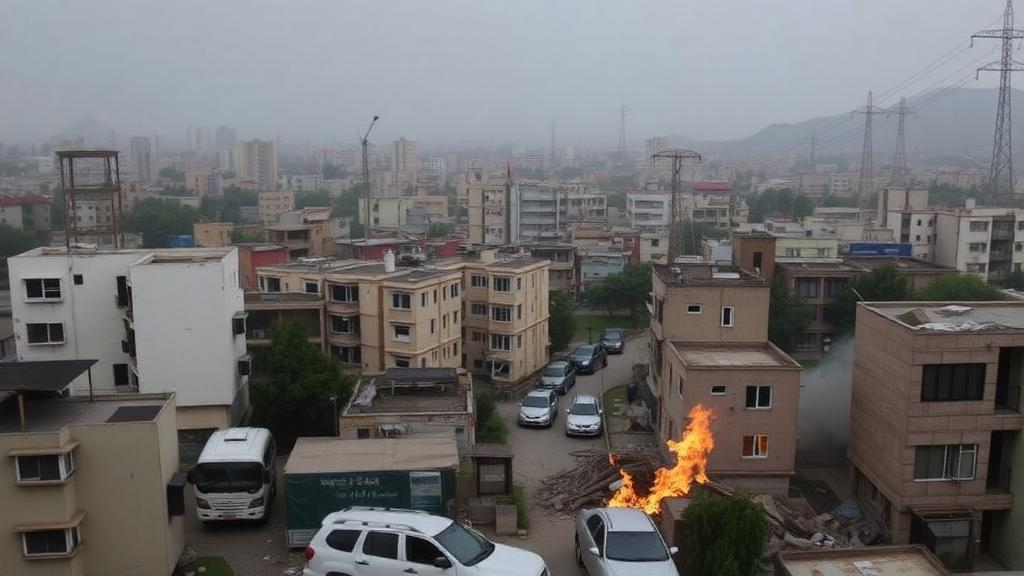
Kabul, one of the fastest-growing cities on Earth, is living through a compound environmental emergency that scientists have now mapped in unprecedented detail. A new study published in Environmental Management reveals that roughly 80 percent of the Afghan capital is exposed to at least three major environmental hazards simultaneously, from flash floods and extreme heat to drought, soil erosion and severe groundwater stress. The research, led by Maisam Rafiee of Leibniz University Hannover together with colleagues in Germany, Italy and the Netherlands, offers the first integrated, spatially explicit picture of how these threats overlap across the city, and it delivers a sobering message: in Kabul, hazards do not arrive one at a time.
The stakes could hardly be higher. Kabul’s population has exploded from around one million in 2001 to more than 5.3 million in 2021, and over 70 percent of its residents live in unplanned or informal settlements, many of them perched on steep, deforested hillsides or crowded into low-lying districts with inadequate drainage. Between 2000 and 2020, built-up areas expanded by 40 percent while agricultural land shrank by 32 percent. Yet until now, hazard information for the city has been fragmented across consultancy reports and isolated single-hazard studies, leaving planners without a coherent map of where dangers converge. The new research was designed precisely to close that gap in a place where reliable environmental data is scarce and field campaigns are often impossible.
The team focused on five hydro-climatic and environmental hazards: flood, heat, drought, soil erosion and groundwater stress. Earthquakes and landslides were deliberately excluded, the authors explain, because they require fundamentally different assessment frameworks and mitigation approaches. For each of the five hazards, the researchers selected a set of conditioning parameters, nine in total across the analysis, including elevation, slope, soil type, drainage density, precipitation, land use and land cover, and groundwater depth, depletion and quality. These were rated and weighted using the Analytic Hierarchy Process, a structured multi-criteria decision analysis method developed by Thomas Saaty, implemented within a geographic information system. The heat hazard took a different route: the team retrieved land surface temperature from a Landsat 8 image acquired on 18 June 2020, the hottest day of the study period with the lowest cloud cover, and flagged every pixel exceeding 40 degrees Celsius as a high-hazard zone.
The data engineering behind the maps is a case study in making the most of thin evidence. Land use classifications were built by merging Esri Sentinel-2 and OSM Geofabrik datasets, achieving a Kappa coefficient of 0.85, a measure of classification agreement that indicates high reliability. Precipitation surfaces were interpolated from a decade of observations spanning 2013 to 2022, drawn from the CHIRPS v3.0 and PERSIANN-CCS satellite products and averaged using inverse distance weighting, a method chosen because it demands no assumptions about spatial autocorrelation in a region with sparse and unevenly distributed gauges. Groundwater nitrate measurements were spread across the city using Thiessen polygons, while groundwater depth and depletion trends were interpolated with kriging. Every raster layer was resampled to a common 30-metre resolution to keep the analysis spatially consistent.
The individual hazard maps tell striking stories on their own. Flood hazard dominates the picture: roughly 60 percent of the study area falls into the high category and another 10 percent into the very high category, concentrated in the central and eastern districts where gentle slopes, low elevations and outdated drainage allow surface water to accumulate. Very high flood zones cluster alarmingly in densely built districts such as D11 and D15, which likely host critical infrastructure. Heat hazard shows a different geography, with the very high class covering about 6 percent of the area, chiefly in southern and northeastern districts blanketed by impervious surfaces and starved of vegetation, the classic signature of the urban heat island effect. Drought hazard inverts the flood pattern, concentrating in the steeper, drier southern and southwestern districts, a spatial mutual exclusivity the authors attribute to climatic and geomorphological gradients.
Groundwater stress may be the quietest crisis of the five. Kabul depends almost entirely on two shallow Quaternary aquifers, the central Kabul and Paghman-Darulaman aquifers, which have been relentlessly overexploited. Water tables have dropped by up to 60 metres in some areas, and contamination from sewage infiltration and agricultural runoff is increasingly compromising quality. The assessment found 46 percent of the area in the high groundwater stress category and 17 percent in the very high category, with districts such as D11 and central D06 showing severe nitrate contamination alongside marked depletion. Soil erosion, by contrast, remains low across most of the city, though 4.3 percent of the area, particularly the sloping northern peripheries of districts D11 and D15, shows high susceptibility where bare, steep terrain accelerates soil detachment and runoff.
The real innovation lies in how these layers were combined. Each hazard map was reclassified into a binary layer, with moderate, high and very high zones coded as hazard presence and low zones as absence. Summing the binary values pixel by pixel produced a composite map showing how many hazards overlap at any location, while a second, more elegant technique assigned each hazard a unique power-of-two weight, from 1 for heat to 16 for drought, and multiplied the binary rasters together. Because five hazards yield 32 possible combinations, every pixel could be decoded to reveal its exact hazard cocktail. The result: single-hazard zones cover just 1.8 percent of the city, two-hazard zones 18.6 percent, three-hazard zones 44.3 percent, four-hazard zones 32.9 percent, and areas facing all five hazards 2.8 percent.
The combination analysis is where the findings become genuinely actionable. The most widespread pairing is groundwater stress with heat, covering 17.79 percent of the area, followed by the triple combination of soil erosion, groundwater stress and heat at 18.81 percent. Flood paired with groundwater stress covers 8.47 percent, soil erosion with heat 8.54 percent, and drought with groundwater stress and heat 8.16 percent. These clusters, the authors argue, are exactly the kind of spatial intelligence needed to target nature-based solutions, interventions such as floodplain restoration, vegetated slope stabilization, urban green corridors and recharge area protection that can address multiple hazards at once while delivering co-benefits for biodiversity, climate resilience and public well-being. A flood-prone corridor might call for water retention landscapes and river management, while drought-exposed southern districts need soil moisture enhancement and drought-resilient vegetation.
The researchers are candid about the limits of their work. The maps represent relative hazard susceptibility, not probabilistic forecasts: they do not quantify hazard magnitude, recurrence intervals or expected losses, and they exclude population exposure and socio-economic vulnerability. Validation relied on qualitative comparison with previous studies and official reports rather than field verification, which was infeasible under prevailing conditions in Afghanistan. Temporal inconsistency is another caveat, with heat derived from a single 2020 satellite image while precipitation data span a decade. Interpolation of sparse groundwater measurements and the binary simplification of hazard zones introduce further uncertainty. Still, the framework is transparent, replicable and explicitly designed for data-scarce cities of the Global South, and the authors sketch a research agenda that includes machine-learning comparisons, climate scenario analysis and dynamic hazard modelling.
For Kabul’s planners and for cities across the rapidly urbanizing Global South, the study marks a foundational shift from asking which hazard threatens a neighbourhood to asking which combination does. With more than 90 percent of the city exposed to at least one hazard and vast swaths facing three or more, single-hazard thinking is no longer defensible. What this map offers is a starting point for risk-sensitive land-use planning and ecosystem-based resilience strategies in one of the world’s most challenging urban environments, a city where, as the data now make unmistakably clear, the crises are not waiting their turn.
Subject of Research: Integrated geospatial multi-hazard assessment of flood, heat, drought, soil erosion and groundwater stress in Kabul, Afghanistan
Article Title: Unveiling Multi-Hazard Hotspots in Kabul: An Integrated Geospatial Assessment in a Data-Scarce Urban Environment
Article References: Rafiee, M., Ansari, M. R., Kempa, D., Kuhn, T., Esmail, B. A., Biber-Freudenberger, L., & Albert, C. (2026). Unveiling Multi-Hazard Hotspots in Kabul: An Integrated Geospatial Assessment in a Data-Scarce Urban Environment. Environmental Management, 76(9), Article 300. https://doi.org/10.1007/s00267-026-02588-w
Image Credits: AI Generated
DOI: 10.1007/s00267-026-02588-w
Keywords: Kabul, multi-hazard assessment, GIS, flood hazard, urban heat island, groundwater stress, drought, soil erosion, nature-based solutions, Analytic Hierarchy Process, remote sensing, urban planning
Cite Scienmag News
Sloane Callahan. (October 2, 2026). Kabul’s Hidden Crisis: Four Out of Five City Zones Face Three or More Disasters at Once. Scienmag. https://scienmag.com/kabuls-hidden-crisis-four-out-of-five-city-zones-face-three-or-more-disasters-at-once/
Sloane Callahan. "Kabul’s Hidden Crisis: Four Out of Five City Zones Face Three or More Disasters at Once." Scienmag, 2 October 2026, https://scienmag.com/kabuls-hidden-crisis-four-out-of-five-city-zones-face-three-or-more-disasters-at-once/. Accessed 2 October 2026.
Sloane Callahan. "Kabul’s Hidden Crisis: Four Out of Five City Zones Face Three or More Disasters at Once." Scienmag. October 2, 2026. https://scienmag.com/kabuls-hidden-crisis-four-out-of-five-city-zones-face-three-or-more-disasters-at-once/


